
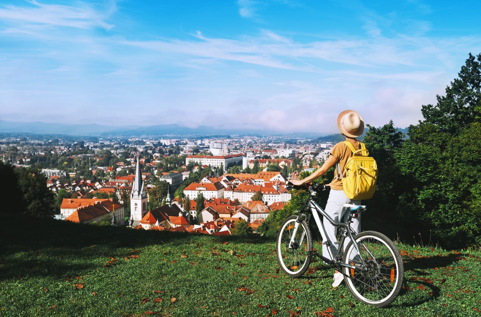
Ljubljana Marshes by Bike: The Barje Loop
Ljubljana & Central
Where to base yourself
Search places to stay near here and book directly on Booking.com.
Find a place to stayLjubljana Marshes by Bike: The Barje Loop
Quick Overview – the Ljubljana Marshes loop
A 46 km loop that starts in Park Zvezda in the centre of Ljubljana and is on flat, mostly car-free marsh roads within twenty minutes. It heads out through the southern suburbs to Škofljica, runs west along the foot of the hills through Ig and Iška vas, then crosses the open Barje past Podpeč lake and comes back along the northern rim. It is the Visit Ljubljana “Mali barjanski krog”, ridden as published.
- Type: flat loop on quiet lanes and packed-gravel field roads across a drained wetland (Ljubljana Marshes Landscape Park, Krajinski park Ljubljansko barje)
- Region: Central Slovenia (Ljubljana, Škofljica, Ig, Iška vas, Podpeč, Notranje Gorice)
- Works well with: a gravel or hybrid bike, a half-day to a full day, a swim at Podpeč lake or the Iška gorge in summer, and dry weather in the days before
Trail stats
- Distance: 46 km loop from central Ljubljana, via Škofljica, Ig, Iška vas, Podpeč and Notranje Gorice
- Elevation gain: ~250 m over the whole loop — effectively flat; the Barje sits at about 290 m and barely moves
- Time: 3–4 hours of riding; a full day with a swim and lunch
- Difficulty: Moderate. Visit Ljubljana rates it hard, which is about the distance and the gravel, not the terrain — there is no climb on it. It is a real 46 km, part of it on unsurfaced field road.
- Surface: roughly half asphalt lanes, half macadam (packed gravel) farm road. A gravel or hybrid bike is right; a road bike only if it has been dry.
What to expect
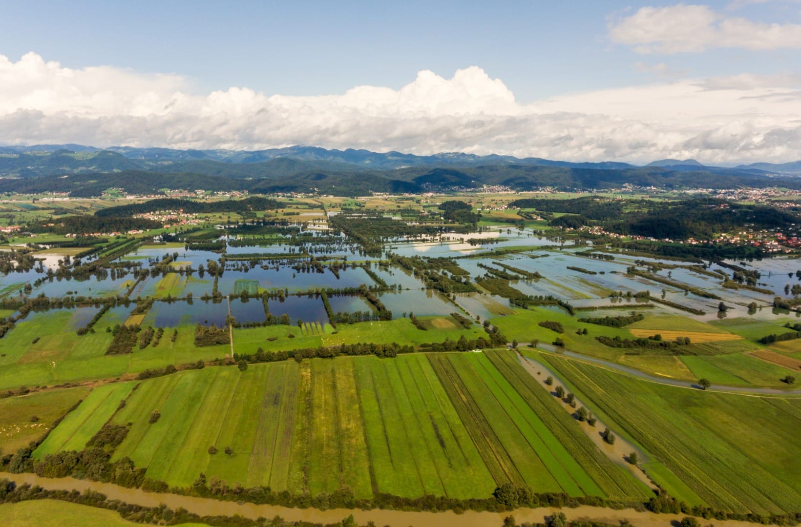
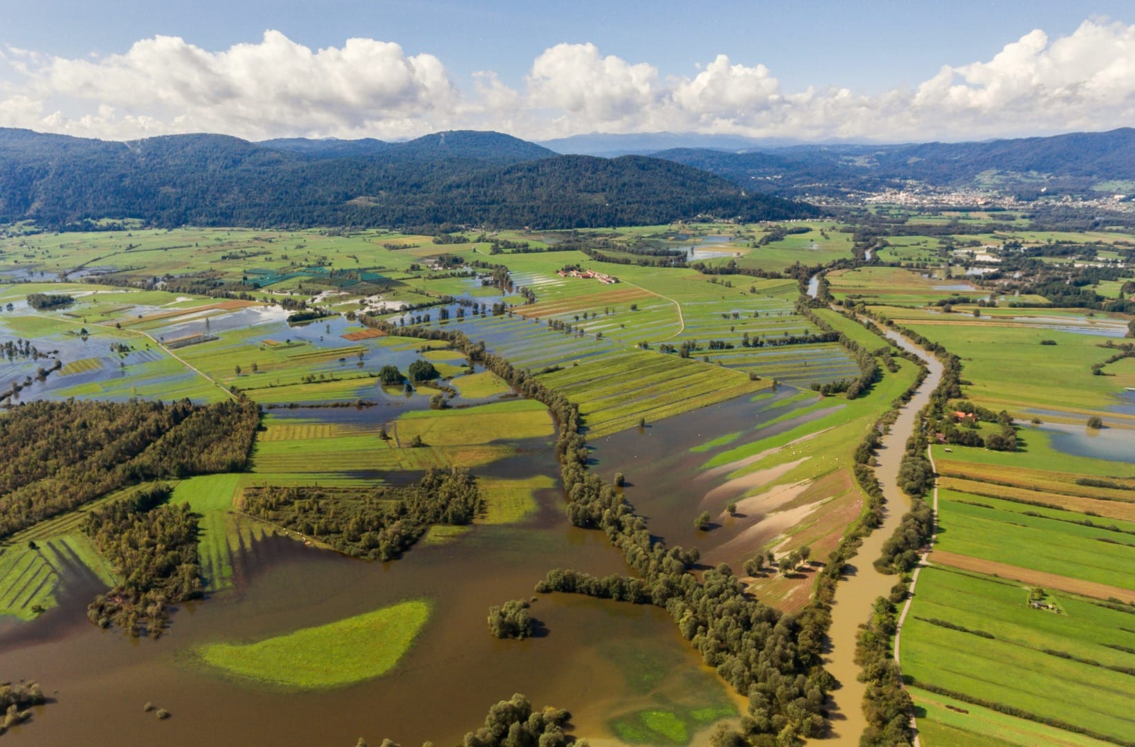
This is the ride locals use to get out of Ljubljana without driving anywhere first. The Ljubljana Marshes, the Barje, is a flat basin of drained peat bog south of the city — 160 km² of hay meadows, drainage ditches, hedgerows and scattered farms, ringed by low wooded hills, and protected as a landscape park. The core of it is a nature reserve. Under the fields lie the remains of prehistoric pile-dwelling villages, on the UNESCO list since 2011.
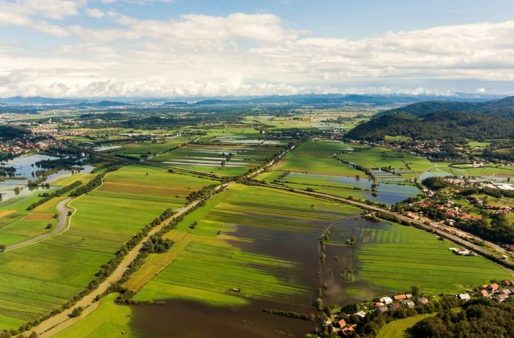
The honest points: the first hour is the weakest. Getting from the centre out to Škofljica means suburban streets and a stretch of busier road through Lavrica before the marsh opens up. It is farmland, not wilderness — you are never far from a road or a house, and the western arc through Vnanje Gorice and Brezovica shares suburban roads with cars. It is flat and open, so a headwind has nothing to break it, and there is no shade on the field roads. Ride it for the birds, the big flat sky and the water, not for drama.
Route in detail
1) Out of the city to Škofljica (0–11 km)
From Park Zvezda the route works south through Prule and out past Rudnik and Lavrica — cycle paths where there are any, quiet streets and one busier stretch of the old Dolenjska road — to Škofljica at the southeast corner of the Barje. This is the least interesting part of the day: get it done, and the marsh starts the moment you turn west.
2) Škofljica to Ig (11–16 km)
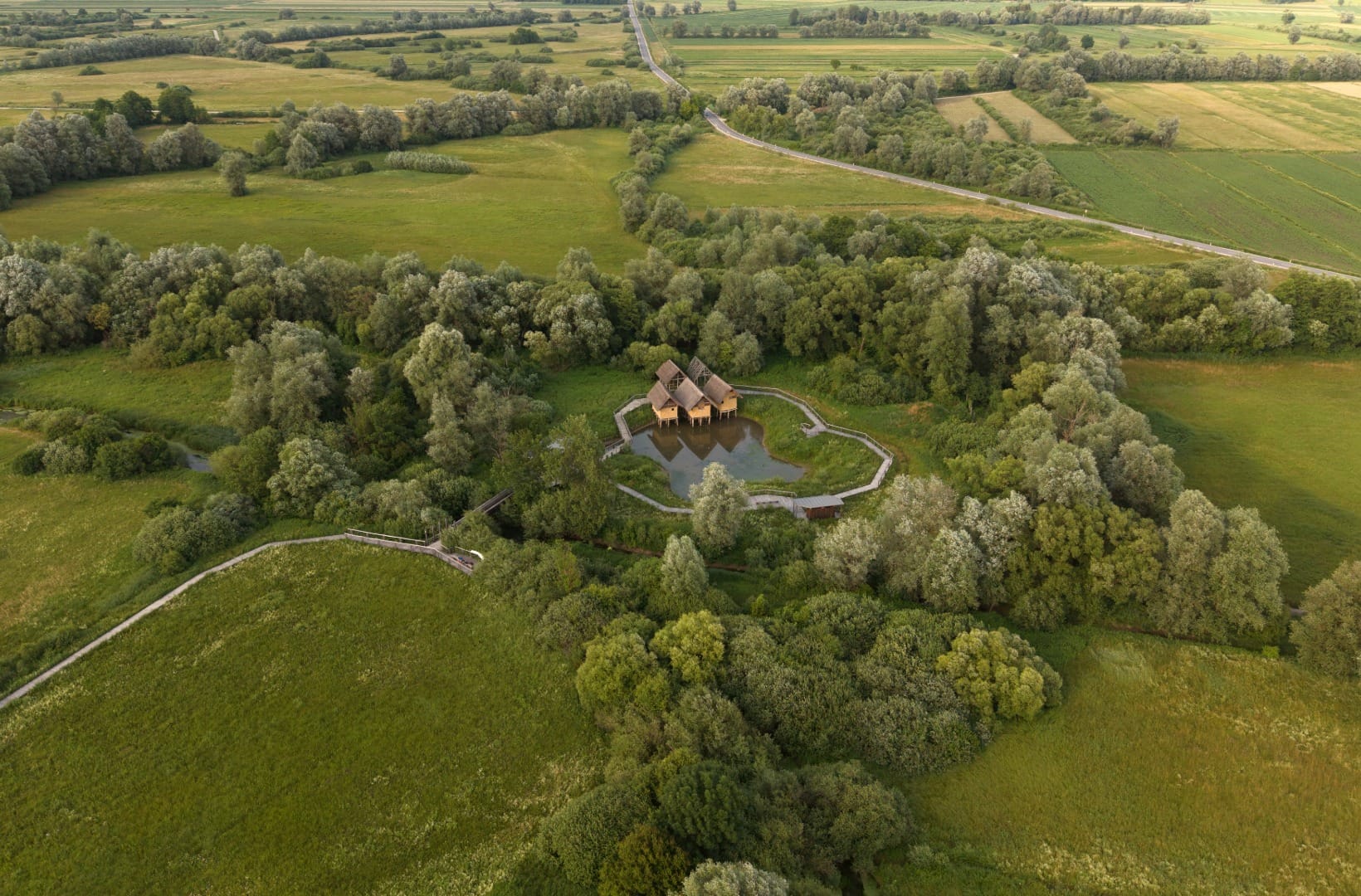
Turning west along the southern edge, the route runs into Ig, the main village of the southern Barje and the centre of the pile-dwelling country. Between Ig and Bevke the marsh holds the densest concentration of prehistoric pile-dwelling sites in the Alps — the wheel found at Stare gmajne near here, about 5,200 years old, is among the oldest wooden wheels known. There is nothing to see of the settlements in the fields; the reconstructed dwellings and the interpretive point are the way to picture it.
3) Ig to Iška vas (16–20 km)
South of Ig the loop runs along the foot of the hills to Iška vas, where the river Iška comes out of its gorge. This is the turn for the Iški Vintgar — about 2 km up a dead-end lane to a shady canyon with pools cold enough to stop you swimming for long in June. It is the one place on the ride with a real hill behind it: Mount Krim, 1,107 m, rises straight off the marsh here.
4) Iška vas to Podpeč (20–30 km)
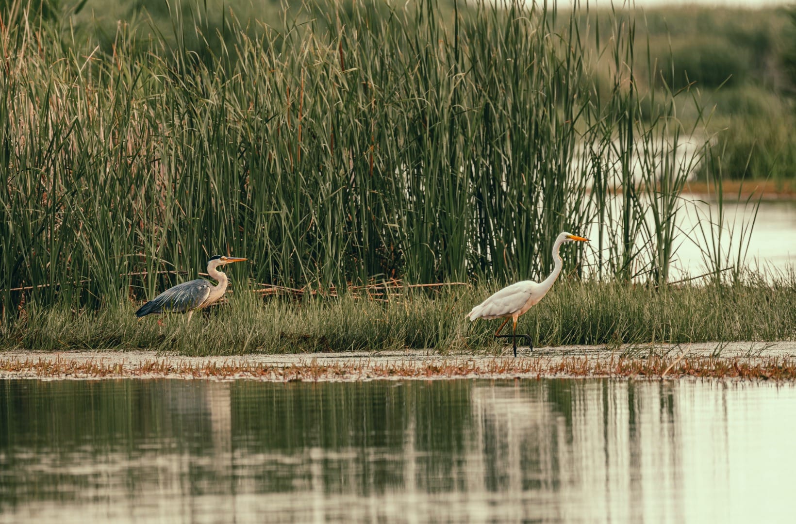
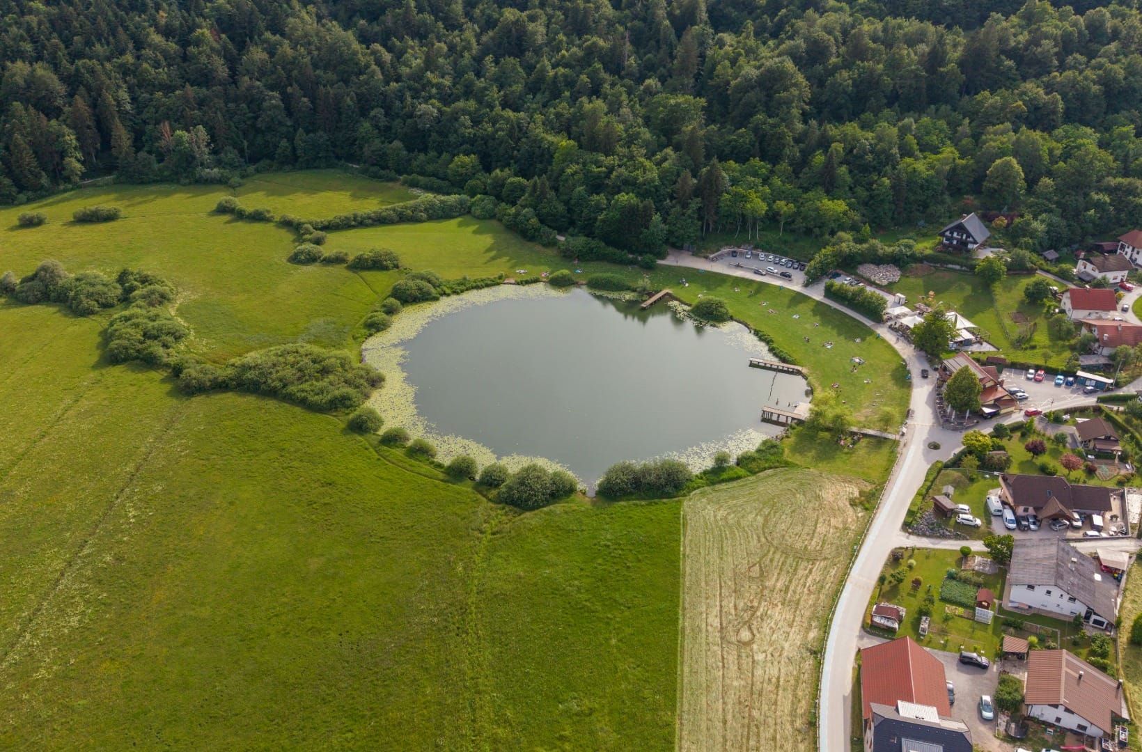
Now the loop crosses the open Barje west, on farm roads between drainage channels. This is the quietest and most exposed part, and the best for birds — grey herons and little egrets stand in the ditches, and the reserve at Iški morost holds corncrakes and, in winter, birds of prey. The road passes the hamlet of Jezero and comes into Podpeč under a limestone crag with a small church, St Ann’s, on top. Podpeč lake sits just off the route here, a round karst pool with a swimming area and a couple of places to eat — the obvious lunch stop on a warm day.
5) Podpeč to Notranje Gorice and back (30–46 km)
The western arc swings through Notranje Gorice and the far corner of the loop, then turns back along the northern edge of the marsh through Vnanje Gorice and Brezovica toward Vič and the city. These last kilometres are the least interesting — more houses, more cars, less marsh — but they are flat and quick, and the Ljubljanica meets you again on the way in.
Map
The map shows the 46 km loop from Park Zvezda: southeast to Škofljica, west along the southern edge through Ig and Iška vas, across the open Barje past Podpeč, and back along the northern rim.
Best time
When to ride it
- April–June: the marsh at its best — meadows uncut and full of flowers, corncrakes calling, birds on migration, and the ground usually dry by late spring.
- September: warm, stable, quiet, and the swimming spots have emptied out; the clearest month for the Krim and Alps skyline across the fields.
- Avoid the days after heavy rain: the field roads flood and stay soft, and a chunk of the loop becomes a push. In autumn, wait for the morning fog to burn off before leaving the city.
Safety & warnings
Before you set off
- Surface: about half the loop is macadam farm road. Ride a gravel or hybrid bike with tyres of 35 mm or more; a road bike is only sensible after a dry spell.
- Shared roads: the ride out through Lavrica and Škofljica, and the western arc through Vnanje Gorice and Brezovica, use suburban roads with regular traffic. Ride those parts as you would any road.
- Navigation: the Barje is a grid of near-identical field roads and the waymarking is patchy. Carry the GPS track — it is easy to take the wrong ditch-side lane.
- Sun and water: no shade and no fountains on the field roads. Fill up in Ljubljana, Ig or at Podpeč, and take more than you think in summer.
Logistics
By car
You do not need one — the loop starts in the centre. If you drive in, use a park-and-ride on the southern edge of the city rather than paying for central parking.
Public transport
Ljubljana’s city buses carry bikes outside peak hours, and line 19 runs down to Ig and Iška vas if you want to skip the city streets and join the loop on the marsh. The loop itself needs no transport — it returns to where it starts.
Renting a car for the region
You will not need a car for this ride, but if you are basing yourself in Ljubljana and want to reach the Julian Alps, the Karst or the coast on other days, having your own transport opens them up where the buses are slow.
Search rental cars — Slovenia & Ljubljana
Author note: if 46 km is more than you want, ride Ljubljana to Ig and back — about 32 km — and you keep the southern edge, the pile-dwelling country and the gorge turn while skipping the exposed western arc.
How this trail fits into routes
This is the flat-country ride closest to home base — the marsh counterpart to the Drava Cycle Route and the Parenzana, and a gentler day than the Soča Valley ride or the Vipava Valley loop. If you only have a bike for an afternoon in Ljubljana, this is the one.
- The landscape itself: Ljubljana Marshes: the ancient pile-dwelling UNESCO landscape.
- The two detours: the Iški Vintgar gorge walk, and Mount Krim from Iška vas, the hill that rises off the marsh.
- On foot near the city: the Rašica Loop on the wooded ridge north of Ljubljana, and the Ljubljana day out that pairs the old town, Šmarna Gora and the marsh.
- The city and the region: the Ljubljana city guide, and the wider Ljubljana & Central Slovenia region.
FAQ
How hard is this ride?
Moderate. It is completely flat — there is no climb on the loop — but it is a real 46 km and about half of it is on packed-gravel field road, which is slower and harder work than tarmac. A fit recreational rider does it in a morning; the shorter 32 km version suits most people with a bike and half a day.
Do I need a gravel bike?
A gravel or hybrid bike with tyres of 35 mm or wider is the right tool. A road bike is only comfortable after a dry spell, and an e-bike is fine — the surface, not the gradient, is the limiting factor.
Are Podpeč lake and the Iška gorge on the route?
Podpeč lake is right beside the loop on the western side — an easy stop. The Iška gorge is about 2 km off the route, up a dead-end lane from Iška vas; it is worth the detour on a warm day for a swim.
Can I shorten it?
Yes. Ride Ljubljana to Ig and return the same way — about 32 km, flat, and it keeps the southern edge, the pile-dwelling country and the gorge turn while skipping the exposed western arc.
When should I not ride it?
In the days after heavy rain, when the field roads flood and stay soft, and on foggy autumn mornings until the marsh clears — it can sit under fog for hours after the city is in sun.
Conclusion
The Barje loop is the ride you do when you want to be out of Ljubljana on quiet ground without putting a bike on a car. It is flat, it is farmland, and it asks nothing of your legs — what it offers is the oldest wheel country in Europe, herons standing in the ditches, a limestone crag with a chapel on top, and a lot of open sky twenty minutes from Prešeren square. Pick a dry week, take the gravel bike, and build in a swim at Podpeč.