
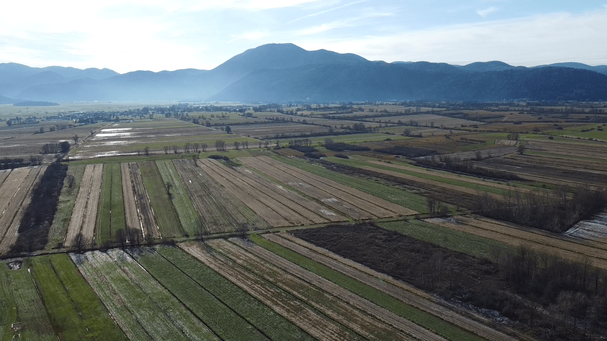
Mount Krim from Iška Vas
Hero photo: Žiga, own work, via Wikimedia Commons (CC BY-SA 4.0)
Ljubljana & Central
Where to base yourself
Search places to stay near here and book directly on Booking.com.
Find a place to stayMount Krim from Iška Vas
Quick Overview – Mount Krim from Iška Vas
Two ways up the most recognisable hill on the southern skyline of the Ljubljana basin — both climbing steeply to a working mountain hut at 1,107 m, with one of the widest views over the city and the Ljubljana Marshes you’ll find this close to the capital.
Trade-off: the classic route from Iška vas is honestly closer to a long forest-road walk than a wild trail — wide, gentle and well graded, which is exactly why it’s the most popular way up. If “trail” matters to you, the shorter, steeper alternative via Gostišče Iški vintgar climbs through real forest singletrack instead. Both are genuine half-day efforts either way — this isn’t a hill you knock out in an hour.
- Type: two route options to a summit hut — one road-based, one true forest trail
- Region: Central (south of Ljubljana, above the Iška valley)
- Works well with: hikers who want real elevation close to Ljubljana, with a choice between easy underfoot conditions or a proper trail
Trail stats
Option A — via Iška vas (classic, gentler)
- Distance: ~12.5 km round trip
- Elevation gain: 792 m
- Time: ~4.5–5 hours round trip, including a stop at the hut
- Difficulty: Moderate (wide forest road and track nearly the whole way, no technical ground, but a long sustained climb)
Option B — via Gostišče Iški vintgar (shorter, steeper)
- Distance: ~11 km round trip
- Elevation gain: 755 m
- Time: ~4–4.5 hours round trip, including a stop at the hut
- Difficulty: Hard (real forest singletrack via Kavernica, steeper and rougher underfoot than Option A)
Slovenia Trip Starter Kit
Plan Slovenia without the usual route mistakes — a free, practical starter guide sent straight to your inbox.
Get the free guide →What to expect
Krim is one of the most visited hills in the region for a reason: it’s the closest genuine mountain-day feeling to Ljubljana, with a real working hut at the top instead of just a marker or a bench. What most write-ups don’t tell you upfront is that the classic, most-recommended way up — from Iška vas through Gornji Ig — spends most of its length on a wide, gentle forest road, not a footpath. That’s not a flaw; it’s exactly why it’s the standard route for families, trail runners and anyone who wants the elevation without technical ground underfoot. But if the word “trail” actually matters to you, Option B is the one to take.
The two routes are completely separate for most of their length, then physically merge at the same spot on the ridge, at about 830 m, before sharing the final push to the hut. So whichever way you go up, you could in theory come down the other side — most people simply retrace their own steps, but combining them into a there-and-back-a-different-way day is a genuine option if you park a second car or don’t mind a longer road walk at the end.
If 750+ m of climbing sounds like too much either way, both Polhograjska Grmada and the Rašica loop are gentler options in the same general area.
Route in detail
Option A — Iška vas to the hut
Park in Iška vas, on the edge of the Iška valley south of Ljubljana, and start along the river before the marked route climbs away from it toward Gornji Ig.
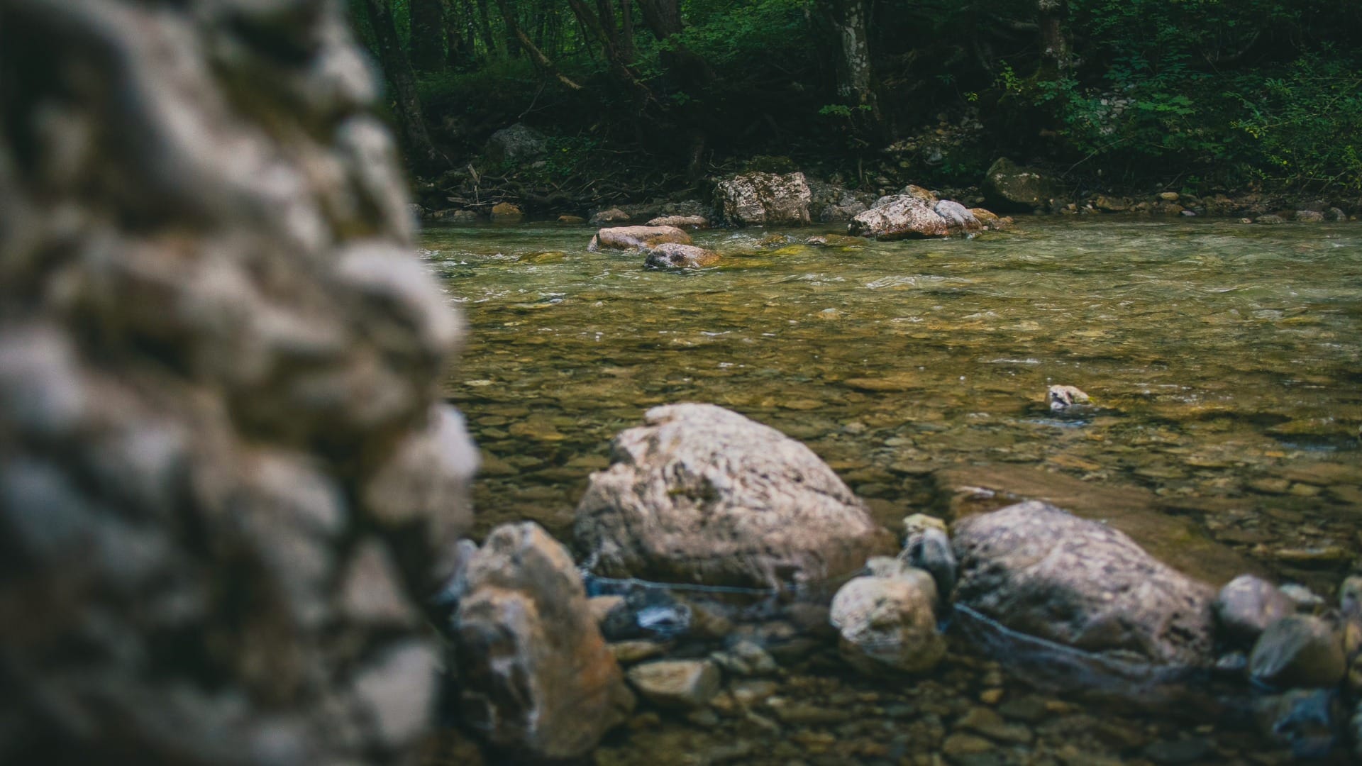
From Gornji Ig the route continues almost entirely on a wide, gently graded forest road — comfortable underfoot, easy to walk two abreast, and the reason this is described everywhere as the “easy” way up Krim. Don’t mistake gentle for short: the road climbs steadily for several kilometres before the final approach to the ridge, and the 792 m adds up whether you notice it underfoot or not.
Option B — via Gostišče Iški vintgar
Park near Gostišče Iški vintgar, closer to the gorge than Iška vas itself, and pick up the marked trail that climbs almost immediately — there’s no equivalent of Option A’s warm-up stretch here.
The path gains height through real forest terrain past Kavernica, on a proper footpath rather than a road. It’s shorter than Option A by a little over a kilometre, but the climb is more continuous and the tread is rougher — roots, loose stones and narrower sections replace the wide gravel of the classic route.
Where the two routes meet
Both options converge at the same point on the ridge, at roughly 830 m, and share the final stretch up to Planinska koča na Krimu. The hut sits right at the summit, 1,107 m up, and is a proper working mountain lodge — food, drink, and a place to sit before the descent. The view opens out over the entire Ljubljana basin and the Ljubljana Marshes, with the deep cut of the Iška valley separating Krim from Mokrec to the west.
Travel insurance
Standard policies often exclude hiking and mountain activities — worth checking your cover before a day like this.
Map
Option A (via Iška vas):
Option B (via Gostišče Iški vintgar):
Best time
- Clear spring or autumn days: cooler temperatures make the steady climb more manageable, on either option.
- Early starts in summer: Option A’s open forest road gets warm with little shade in places; an early start beats the midday heat.
- Check hut opening times: if a hot meal or drink at the top matters to your plan, confirm the hut is open before you commit to the climb.
Safety & warnings
- Sustained elevation gain either way: 750+ m without a real flat section on both options — pace yourself from the start, not just near the top.
- Option B’s rougher tread: roots and loose stones near Kavernica need more attention to footing than Option A’s road surface.
- Exposed summit: weather changes faster at 1,107 m than it looks from the valley — bring a real layer even on a warm day.
- Fitness: this is our hardest pick this close to Ljubljana on either route — don’t treat it as a casual afternoon add-on.
Logistics
By car
Iška vas (Option A) and the parking near Gostišče Iški vintgar (Option B) are both about 30 minutes from central Ljubljana — an easy drive that still leaves you with a genuinely full mountain day once you’re on the trail.
Public transport
Public transport to either trailhead is limited and not well suited to a long hiking day with an early start — a car is realistically the practical choice for this one.
Renting a car for trail days
Many of the trails on our portal are realistically done by car: early starts, flexible returns and last-mile forest or valley access are hard to match with buses.
Search rental cars — Slovenia & Ljubljana Airport
Author note: for a hard, full-day trail like this, start as early as the car rental allows — you want daylight to spare on the way down.
How this trail fits into routes
Krim is the serious counterpart to the easier hills around Ljubljana — worth building a whole day around rather than squeezing in alongside city sightseeing.
- Short hikes near Ljubljana: Krim is the hardest option that still fits the spirit of Best Short Hikes Near Ljubljana (Under 2 Hours), even if the round trip itself runs longer.
- Same region, easier days: if the group needs a gentler day either side of this one, Polhograjska Grmada and the Rašica loop are both close by.
Conclusion
Krim is the trail to pick when you want a genuine mountain day without leaving the Ljubljana area — a real climb, a real hut, and a view that makes the effort feel worth every step. Take Option A if you want the elevation without technical ground, or Option B if a wide road underfoot would bother you. Either way, come ready for it; this isn’t the easy option in the region, and it isn’t trying to be.