
Celje to Svetina by Bike: The Celjska koča Panoramic Loop
East Slovenia
Where to base yourself
Search places to stay near here and book directly on Booking.com.
Find a place to stayCelje to Svetina by Bike: The Celjska koča Panoramic Loop
Quick Overview – the Celjska koča – Svetina loop
A 28 km loop that starts under Celje’s Old Castle, climbs the wooded hills south of the city to Celjska koča and the ridge at 721 m, runs the panoramic top past the fortified church at Svetina, then drops back to the Savinja and follows the riverside cycle path into town. About 660 m of climbing, almost all of it in one 7 km push — the rest is ridge, a long descent and a flat valley run.
- Type: paved loop from a city centre onto a farm-and-forest ridge and back along a river cycle path (Celje, Savinja valley)
- Region: eastern Slovenia (Celje, Celjska koča, Svetina, the Savinja)
- Works well with: a road bike with low gearing or an e-bike, a half-day, a coffee stop at Celjska koča, and a walk up to the Old Castle before or after
Trail stats
- Distance: 28 km loop from central Celje, over the Celjska koča ridge and Svetina, back along the Savinja
- Elevation gain: ~660 m — nearly all of it between km 3 and km 10 (Celje ~240 m, high point 721 m on the ridge above Celjska koča)
- Time: 2–3.5 hours of riding; a half-day with the castle, a coffee at Celjska koča and a look at the Svetina church
- Difficulty: Hard on this site’s scale. It is short — 28 km — but the climb out of the city is steep, with sustained pitches around 10–11%, which is why Visit Celje also grades it “very difficult”.
- Surface: all asphalt. Quiet lanes and one short main-road stretch leaving Celje; a paved, mostly car-free cycle path along the Savinja on the way back.
What to expect
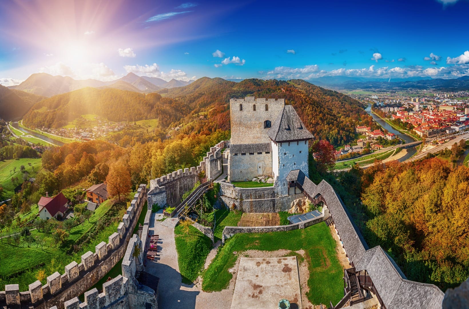
Celje is Slovenia’s third city and it is usually passed through on the motorway, which is a pity: it has a real medieval core, the largest castle in the country on the hill above it, and a ring of quiet farmed hills to the south that almost nobody rides. This loop uses those hills. It climbs from the Savinja to Celjska koča — a recreation area and hut with a restaurant, popular with local walkers and paragliders — carries on to the ridge high point at 721 m, and runs the tops east to Svetina, a hamlet built around a large fortified pilgrimage church that you can see from half the Celje basin.
The honest points: the climb is front-loaded and steep — roughly 480 m of gain in about 6 km, on lanes with pitches near 11%, and the lower section shares a short stretch of the Laško road out of the city. The ridge itself is rolling rather than flat, so you keep working between Celjska koča and Svetina. And the middle of the loop is farm and forest, not high alpine scenery — the views are of the Celje basin, the Kozjansko hills and, on a clear day, the Kamnik–Savinja Alps on the horizon, not of anything dramatic close up. The payback is the top third and the fast, easy river run home.
Route in detail
1) Out of Celje along the Savinja (0–3 km)
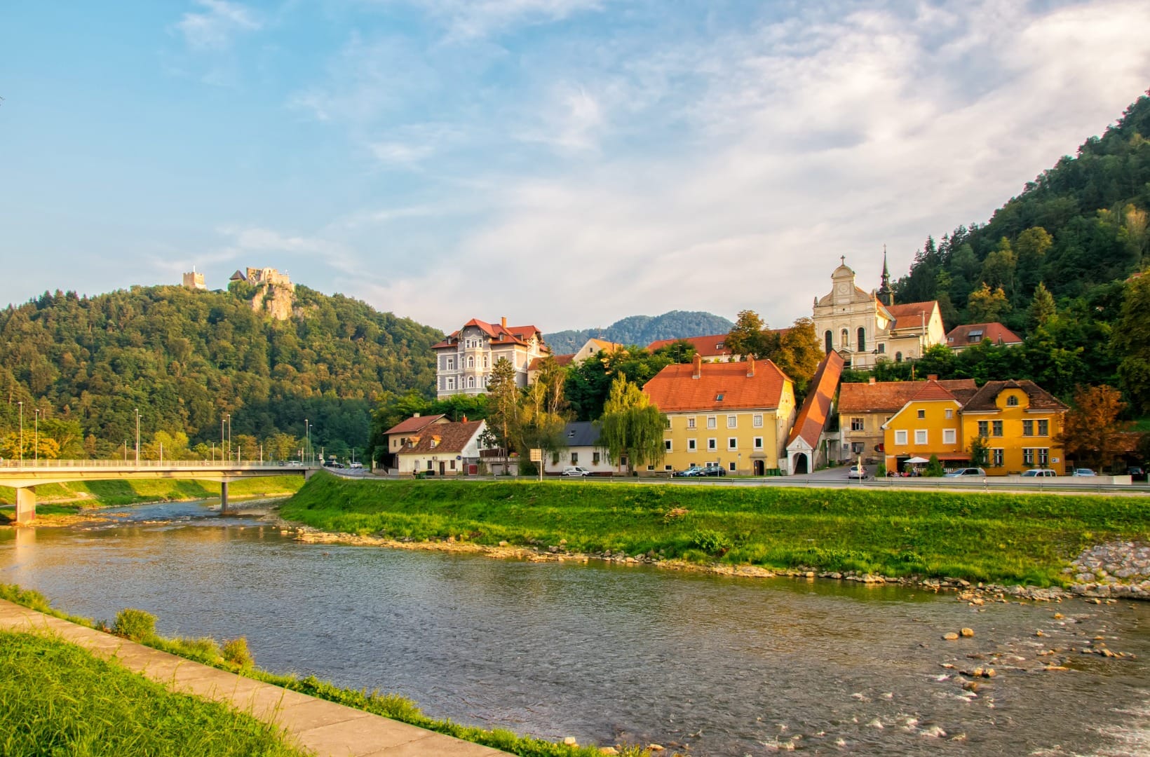
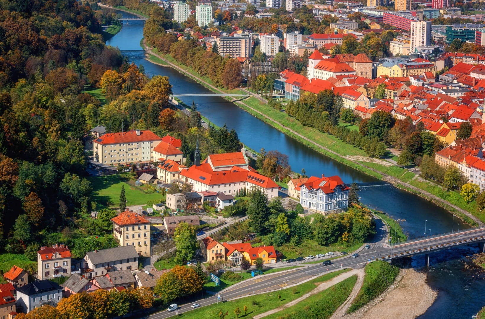
Start in the centre, near the Old Castle and the Savinja embankment — there is paid street parking and the town’s Park & Ride on this side. The first kilometres are flat, along the river and then out through the southern edge of the city toward Laško. This is the least pleasant part: a short stretch of through-road with traffic before the route turns off onto the lanes and starts to climb.
2) The climb to Celjska koča (3–10 km)
Once off the main road the gradient comes on quickly and does not really let go for 6 km. The lanes wind up through scattered houses, orchards and forest, with pitches around 10–11% on the steeper ramps. Celjska koča itself sits off to the side at about 600 m; the route passes close to it near km 9, and the hut’s restaurant and terrace make the obvious stop before the last pull to the ridge. Keep going and the road tops out at 721 m at km 10 — the high point of the day.
3) The panoramic ridge and Svetina (10–13 km)
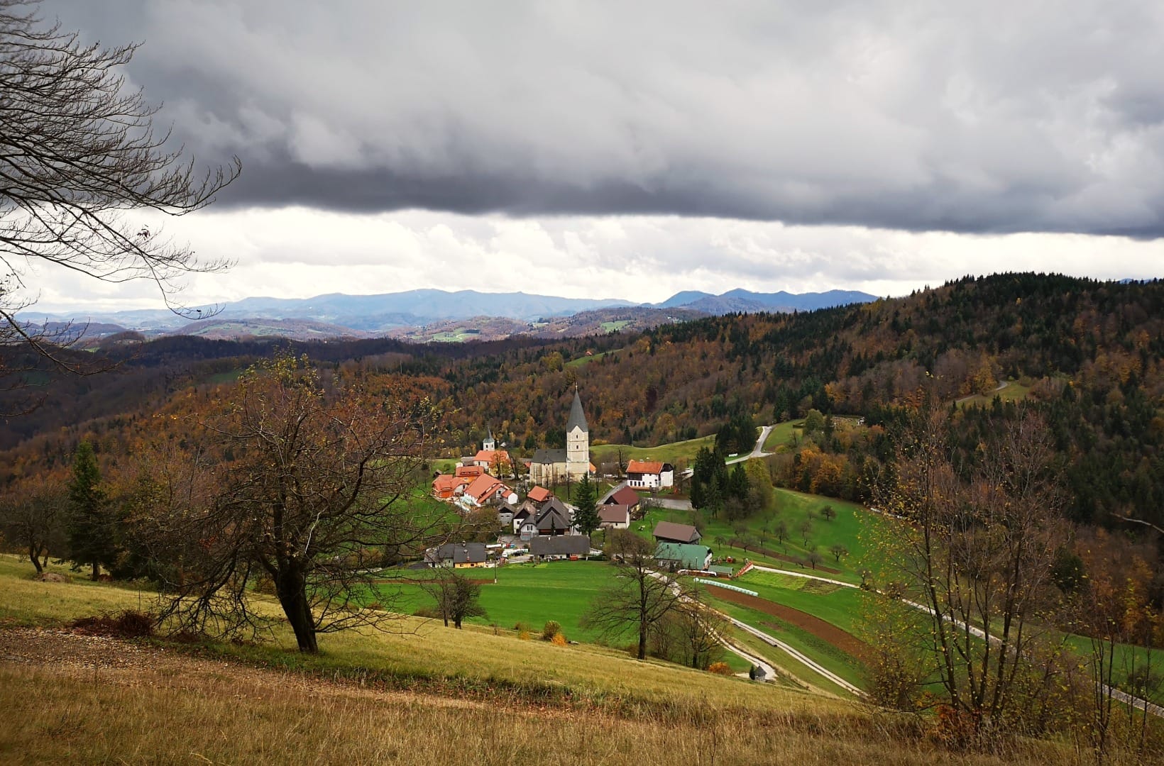
From the high point the road runs the ridge east, rolling between about 660 and 690 m, with the Celje basin dropping away on the left and pasture and farmhouses on the tops. At km 11.5 it reaches Svetina (680 m) and its church — a squat, thick-walled Romanesque and Gothic building with an octagonal tower, once fortified against Ottoman raids, on a knoll with a wide view back over the city and south into the Posavje hills. It is the natural turnaround point of the loop’s high section.
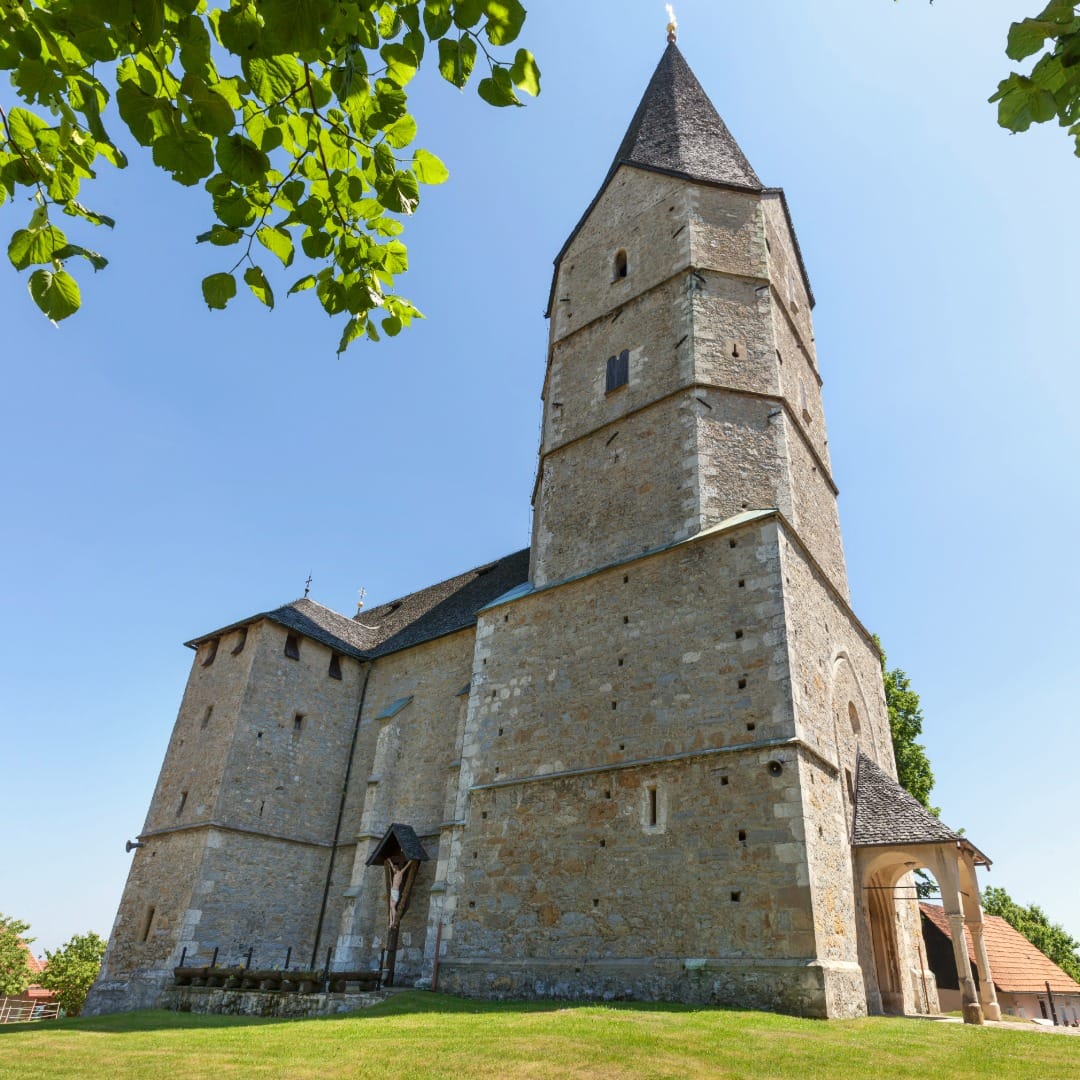
4) The long descent to the valley (13–19 km)
After Svetina the route swings down off the ridge, losing about 430 m over 6 km back to the Savinja valley floor. It is a steady, mostly open descent on quiet lanes — nothing technical, but watch for gravel washed onto the bends and for farm traffic at junctions.
5) Back along the Savinja to Celje (19–28 km)
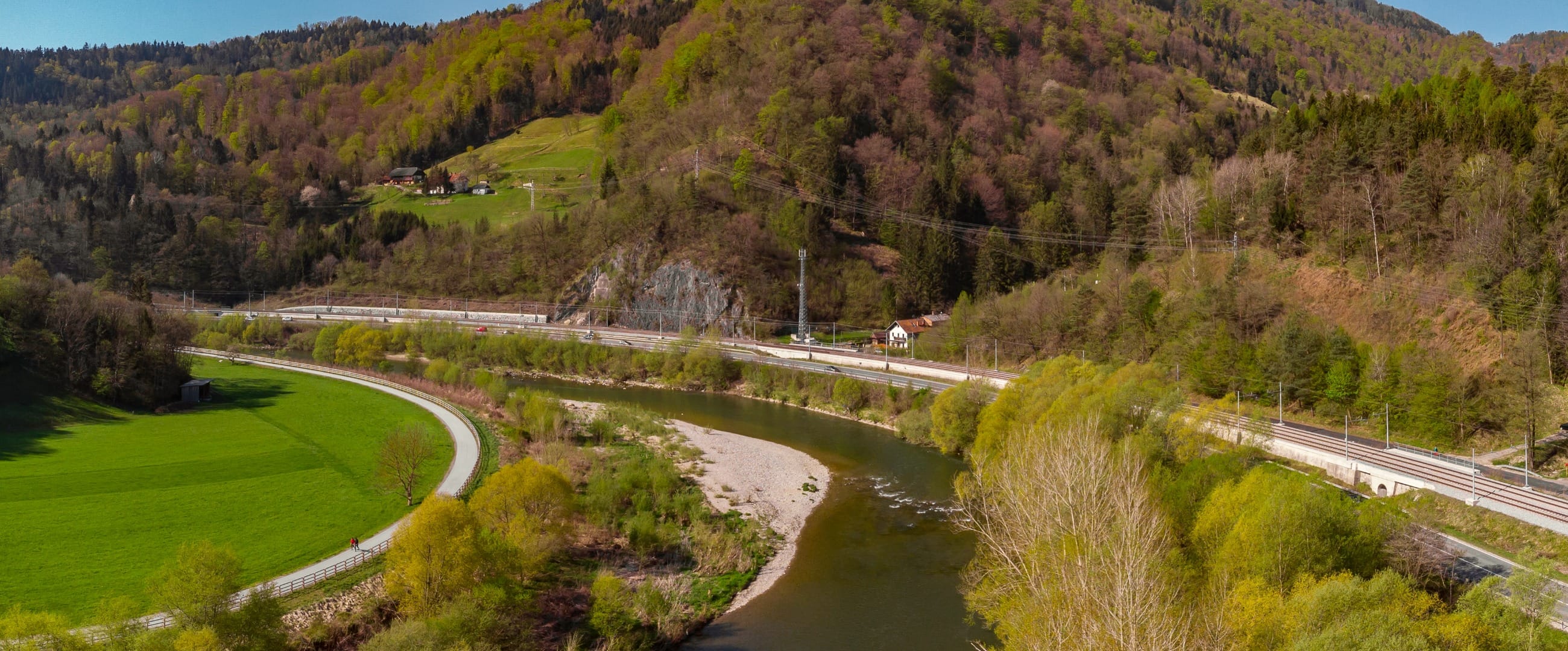
The last third joins the Savinja cycle path — the marked, largely car-free route that runs the valley between Celje and Laško — and follows it downstream and north back into the city. It is flat, quick and green, crossing the river on a couple of modern cycle bridges, and it closes the loop at the point where you started.
Travel insurance
Many standard policies exclude road cycling in the hills and fast descents — worth checking your cover before a day like this.
Map
The map shows the 28 km loop from central Celje: the flat start along the Savinja, the steep climb to Celjska koča, the ridge run east to Svetina, the descent back to the valley, and the flat cycle-path return along the river.
Photos along the way
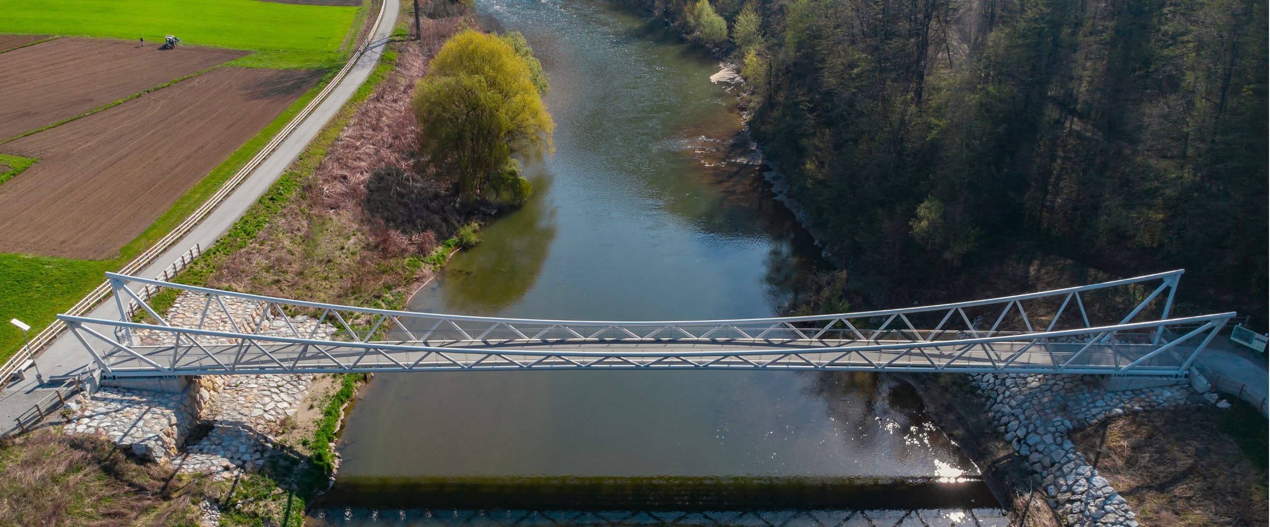
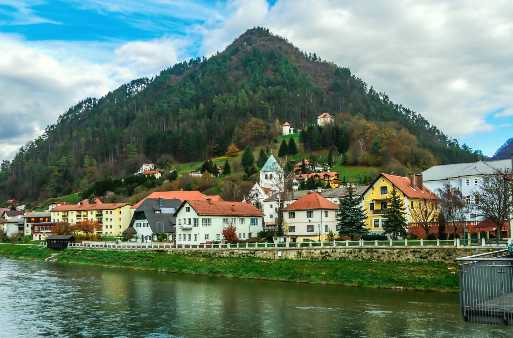
Best time
When to ride it
- May to June: the ridge pastures are green, the orchards on the climb are in leaf, and the shaded lower lanes have dried out.
- September–October: the most settled weather, thin traffic on the lanes, and clear long views from Svetina to the Kamnik–Savinja Alps.
- Avoid hot midsummer afternoons: the climb is steep and mostly enclosed by forest, with little breeze, and storms build over the ridge from the west. Start early.
Safety & warnings
The descent lanes, not the climb
The 6 km drop off the ridge after Svetina is the one part that bites back: quiet farm lanes with tight bends, often gritty, occasionally with mud or manure pulled onto the road by tractors, and no run-off in places. Keep your speed inside your sight lines, brake before the corner, and expect a farm vehicle at every junction.
Before you set off
- The climb: ~480 m of gain in 6 km, with 10–11% ramps. A compact chainset and a 32 or 34 sprocket, or an e-bike, turn it from a grind into a ride.
- Leaving the city: a short stretch of the Laško through-road has traffic and no bike lane. Take the lane, be visible, and it is over in a couple of minutes.
- Food and water: Celjska koča (near km 9) is the only reliable stop with a kitchen. Svetina has no shop. Carry enough for the climb and the ridge.
- Navigation: the ridge has a web of small lanes and forestry roads. Load the GPX — signage is patchy once you leave the Savinja path.
Logistics
By car
Celje is an easy drive off the A1 motorway. Use the Park & Ride or paid street parking near the centre and the Savinja embankment; the loop starts and finishes there. There is no need to move the car — the whole ride is a circle from the middle of town.
Public transport
This is the easy one for a car-free trip: Celje is on the main Ljubljana–Maribor railway, trains are frequent, and most carry bikes for a small supplement. You can be riding out of the station within a few minutes of stepping off the train. See our guide to Celje itself for what to do around the ride.
Renting a car for the region
You do not need a car for this loop, but one opens up the rest of the Savinja: Laško and Rimske Toplice for the thermal baths, the Kozjansko hills to the east, and the upper valley toward Logarska dolina.
Search rental cars — Slovenia & the Savinja valley
Author note: if you only want the views and not the 11% ramps, an e-bike from one of the Celje rental shops makes this a genuinely relaxed half-day.
How this trail fits into routes
It is the climbing loop of the eastern rivers, the counterpart to the flat Drava route from Maribor to Ptuj. Follow the same river upstream and you reach the Solčava Panoramic Road, the Savinja’s headwater ride under the Kamnik–Savinja Alps. For a gentler day on a made cycleway, the Bled–Bohinj Cycling Trail is the template.
- The city: Celje city guide — castle views, old-town streets, riverside walks.
- Nearby: Laško and Rimske Toplice sit just down the valley — see our guide to thermal spas in Slovenia.
- More like this: the best viewpoints in Slovenia for other panoramic rides and walks.
- The region: Thermal & Pannonian Slovenia.
FAQ
How hard is this ride?
Hard on this site’s scale — the ride is only 28 km, but the 660 m of climbing is packed into one steep 6 km section at 10–11%. Fit riders with low gearing enjoy it; it is a comfortable e-bike loop; it is a real climb if you are not used to sustained gradients. Visit Celje’s own grading calls it “very difficult”, which refers to that ramp, not the length.
Is it a loop?
Yes — it starts and finishes in central Celje, climbs to Celjska koča and Svetina, and returns on the Savinja cycle path. About 28 km, closing where it began.
Road bike or gravel bike?
A road bike is fine — the whole loop is paved. Low gearing matters far more than tyre width here. 28 mm tyres or wider add comfort on the gritty descent lanes but are not needed.
Can I shorten it?
Yes. Ride up to Celjska koča for the coffee and the view and turn around there, and you have a roughly 18 km out-and-back with most of the climbing and none of the ridge. Or ride only the flat Savinja cycle path toward Laško and back for an easy, level spin.
Where do I park?
Use the Park & Ride or paid street parking near the Savinja embankment in central Celje. The loop is a circle from there, so the car stays put all day.
Conclusion
The Celjska koča – Svetina loop is a short, sharp climb into the hills that most people only ever see from the motorway. Get the steep 6 km done in the cool of the morning, take your time along the ridge to Svetina and its fortified church, and let the Savinja cycle path carry you flat and fast back into the city. Bring low gears or an e-bike, and leave time for the Old Castle.