
Solčava Panoramic Road by Bike: The Logar Valley Loop
Alpine Slovenia
Where to base yourself
Search places to stay near here and book directly on Booking.com.
Find a place to staySolčava Panoramic Road by Bike: The Logar Valley Loop
Quick Overview – the Solčava Panoramic Road loop
A 39 km loop from Solčava that climbs the sunny-side panoramic road to about 1,250 m, runs the ridge past the carved mountain farms and the church at Podolševa, then drops into Logarska dolina and rides the glacial trough to the Rinka Waterfall before returning along the Savinja. About 970 m of climbing, nearly all of it in the first 8 km — the rest is ridge, descent and flat valley.
- Type: paved road loop over a farm-ridge panoramic road, into an alpine valley and back (Solčava, Kamnik–Savinja Alps)
- Region: Alpine Slovenia (Solčava, Podolševa, Logarska dolina, Rinka)
- Works well with: a road bike with low gearing or an e-bike, a half-day to a full day, a stop at a mountain farm for cured meats, and a clear morning for the peaks
Trail stats
- Distance: 39 km loop from Solčava, over the panoramic road and up Logarska dolina to Rinka
- Elevation gain: ~970 m — about 600 m of it in the first 8 km (Solčava ~640 m, high point ~1,250 m near the Podolševa church)
- Time: 2.5–4 hours of riding; a full day with the farms, the church and the walk to Rinka
- Difficulty: Hard. It is short, but the opening climb is genuinely steep — long pitches around 10% — and there is a fast, narrow descent off the ridge before the valley.
- Surface: almost all asphalt (a national road on the panoramic section); a few short gravel patches, and gravel on the last stretch to the Rinka viewpoint.
What to expect
Solčavsko is the corner of Slovenia where three glacial valleys — Logarska dolina, Robanov kot and Matkov kot — cut back into the Kamnik–Savinja Alps, and where mountain farms still work land at 1,000–1,300 m. The Solčava Panoramic Road links those farms on the sunny southern side above Solčava, with 20 information boards on the Jezersko–Solčava sheep, the carved wooden homesteads and the geology. This loop rides the panoramic road, then drops into Logarska dolina for the flat run up to the Rinka Waterfall.
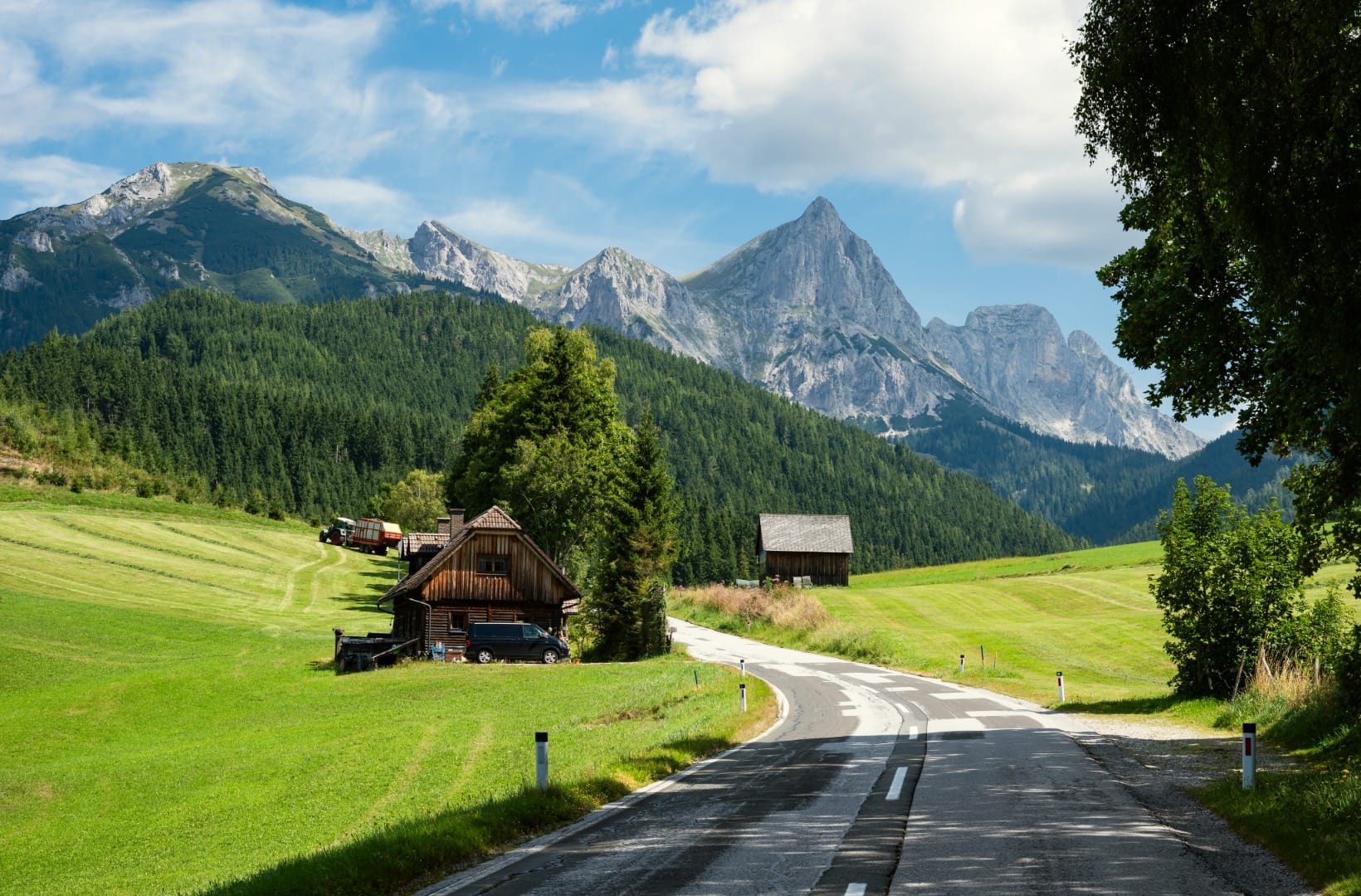
The honest points: the first 8 km are hard — a steep, mostly wooded grind with little in the way of view until you reach the church at Podolševa. The descent off the ridge to the Logar Valley entrance is fast, narrow and swept with grit on the bends, and it is shared with cars and farm tractors. And the panoramic road is a working farm road, not a cycleway — you ride it as you would any rural mountain road. The reward is the middle third: the ridge itself, the farms, and the wall of the Alps across the valley.
Route in detail
1) Solčava to the panoramic road (0–3 km)
Start at Center Rinka in Solčava (~640 m), the village information centre and a good place to hire an e-bike. The loop leaves east, crosses the Savinja and turns onto the signed Solčavska panoramska cesta. The gradient bites almost at once — the first switchbacks climb through forest at around 10%, and there is no easing until the top.
2) The panoramic road: farms and the church (3–13 km)
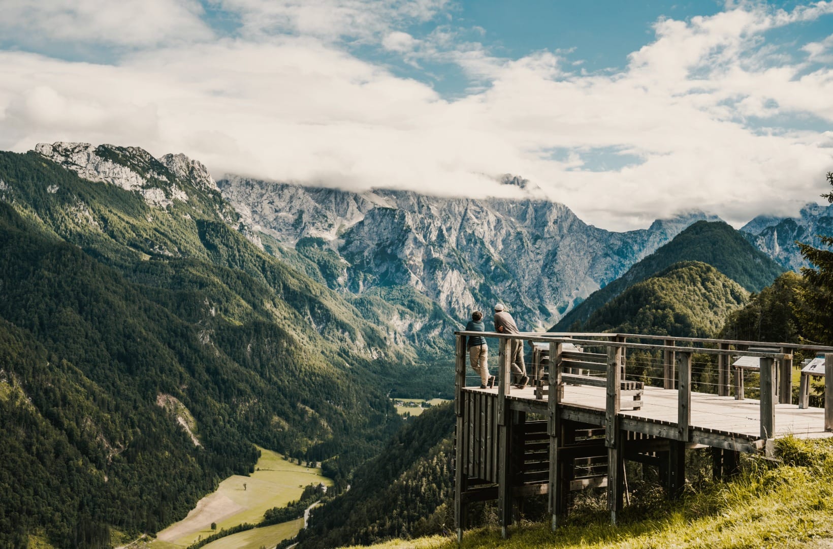
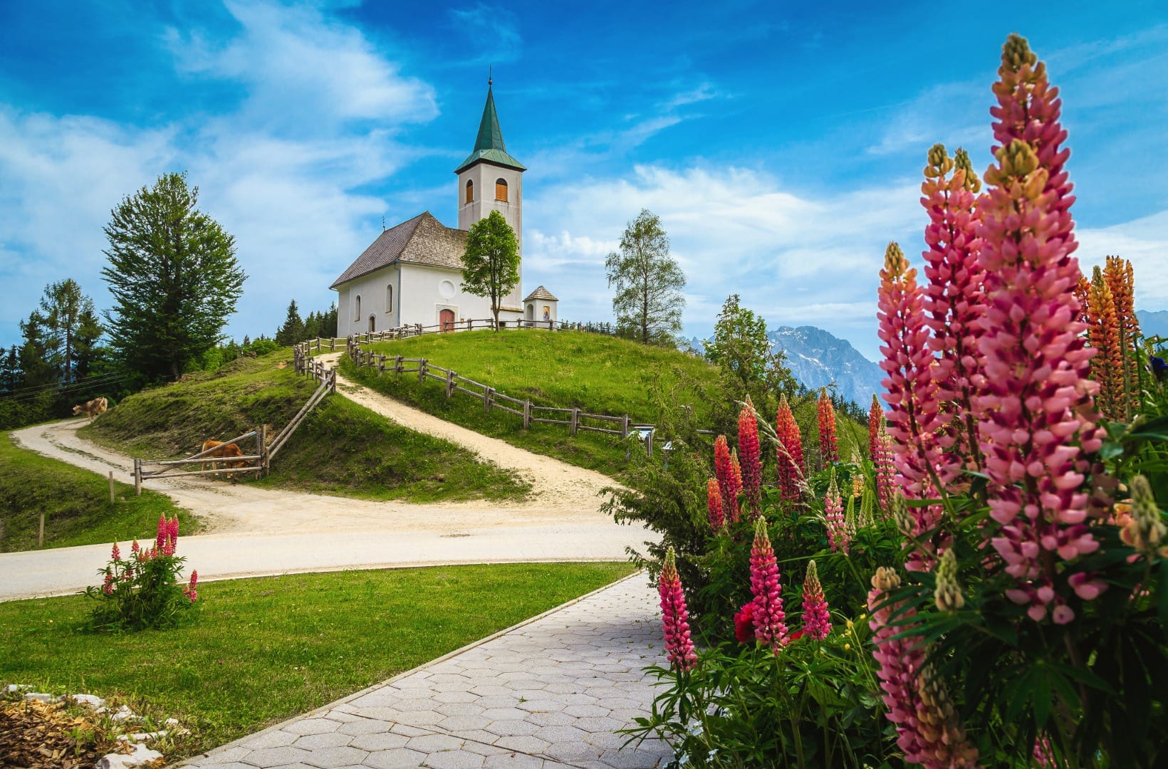
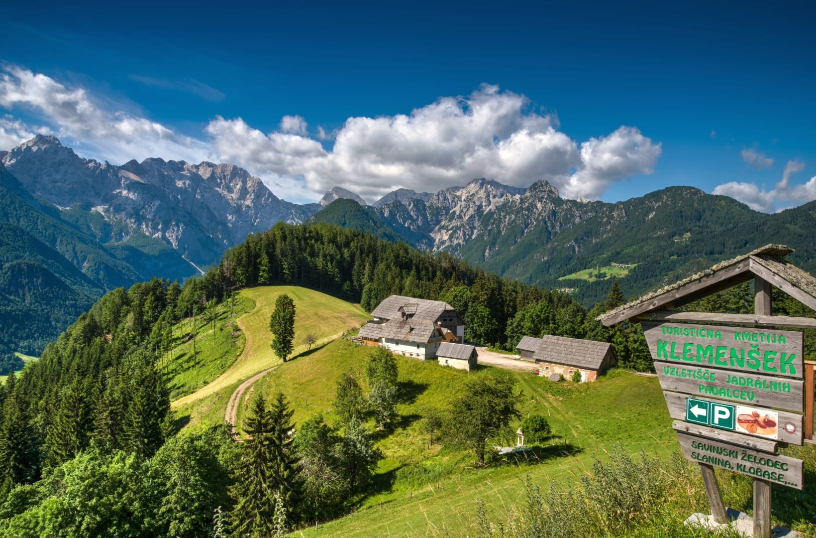
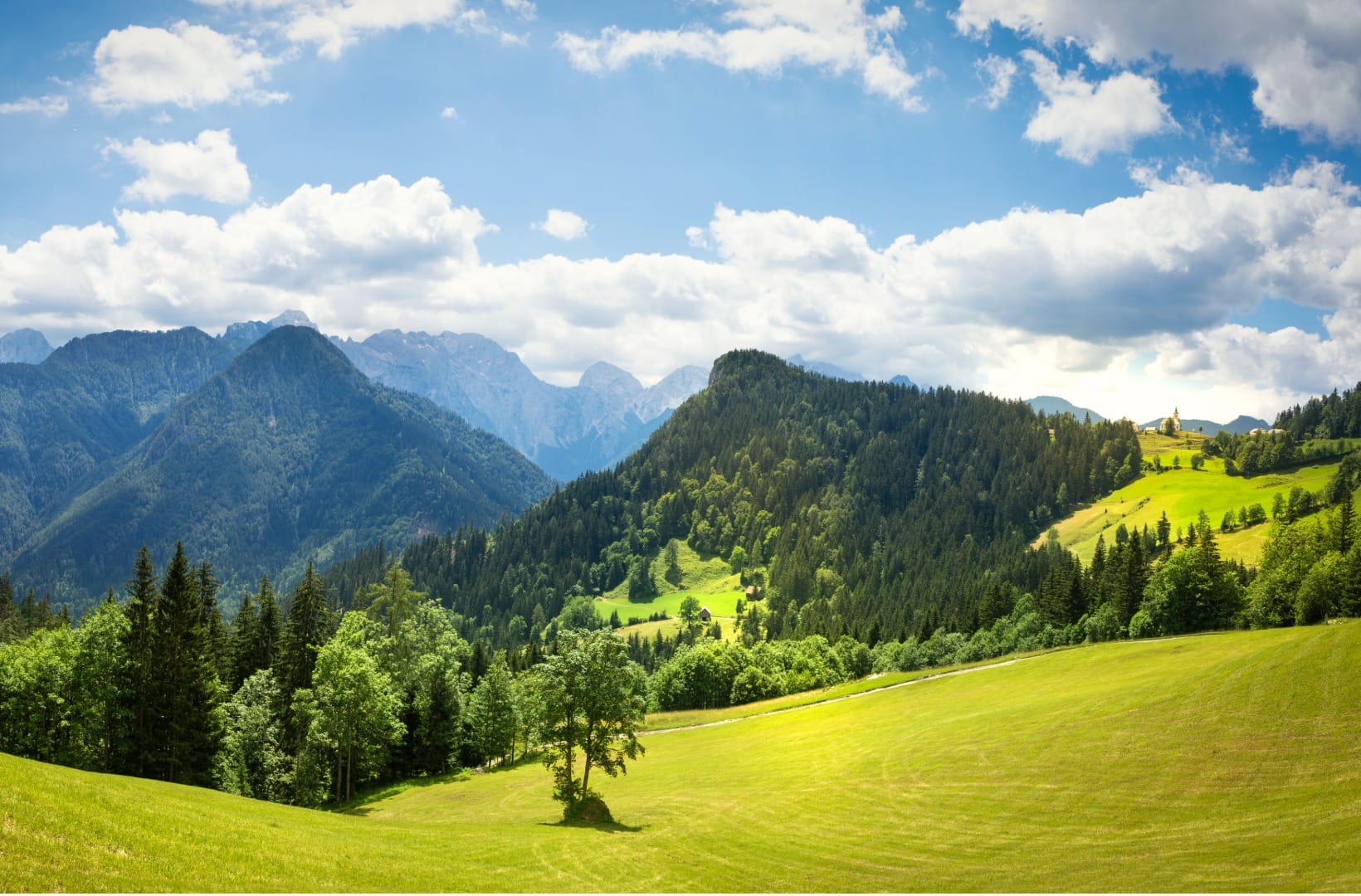
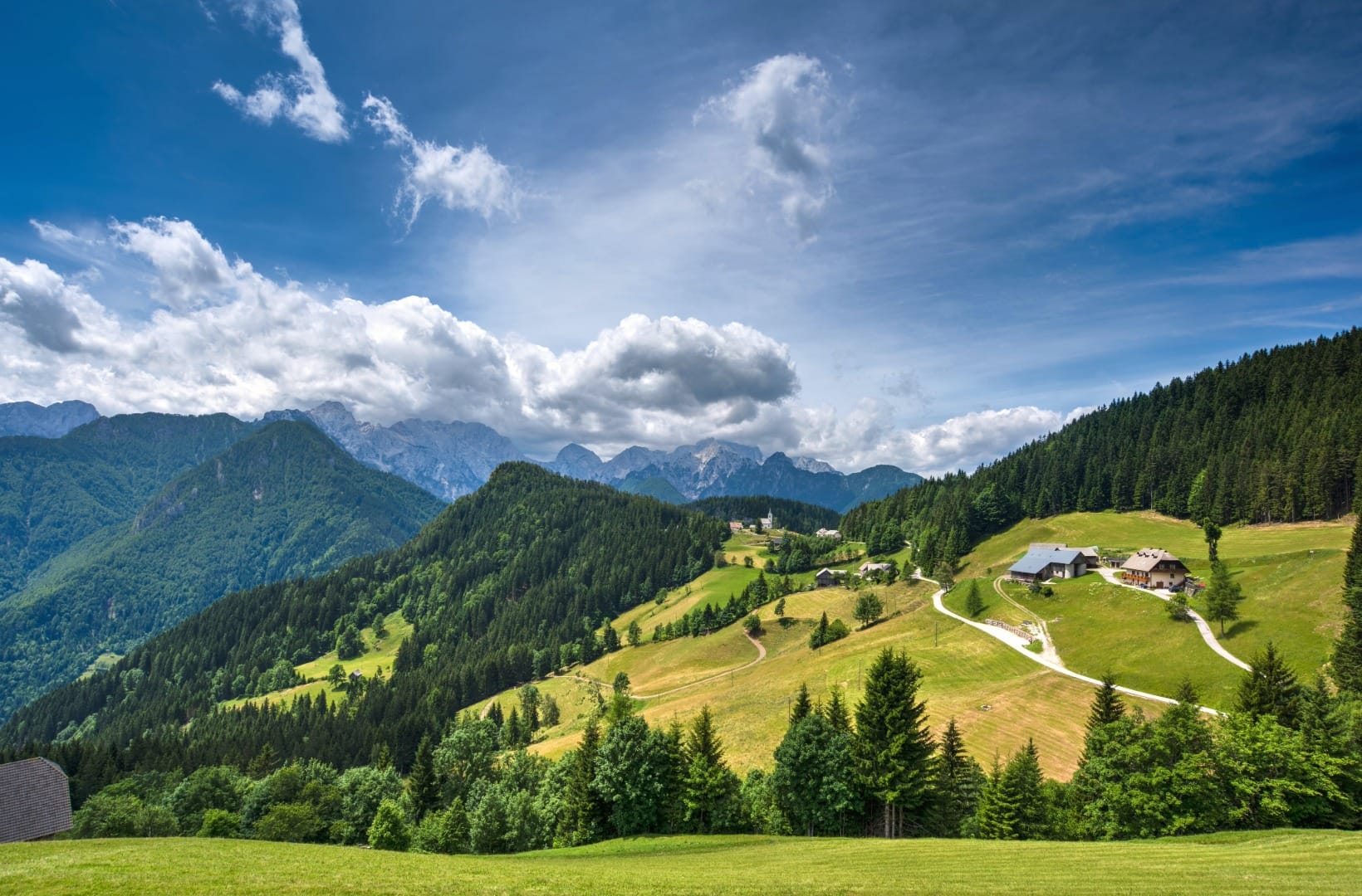
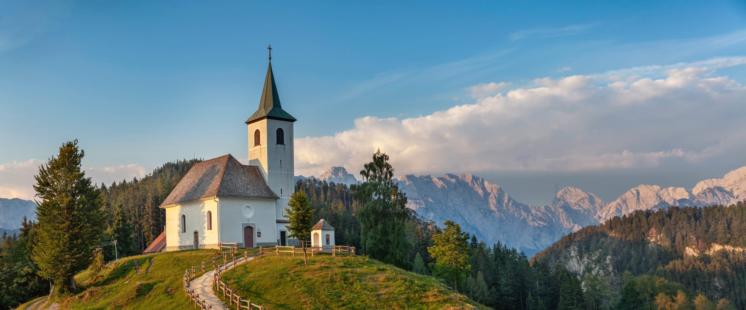
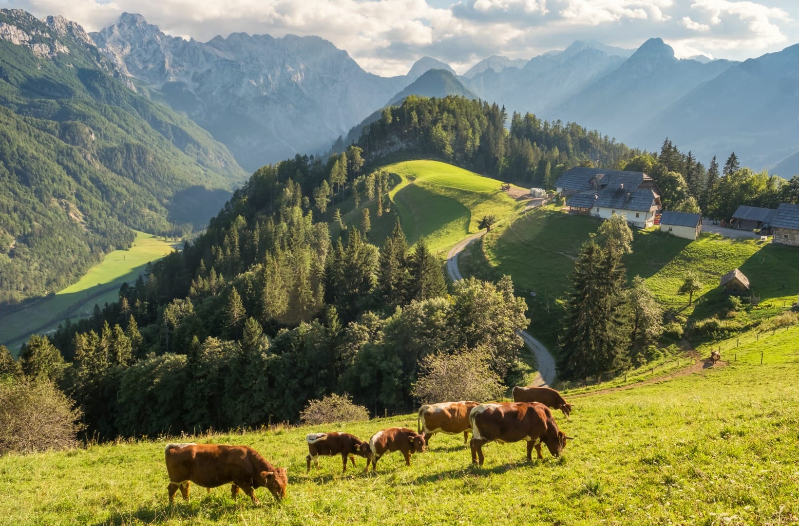
At about 1,240 m the road reaches the church of the Holy Spirit at Podolševa, one of the highest churches in Slovenia, on a knoll with a terrace view down to the valley. From here the road runs the ridge more gently, past the homesteads — Klemenšek, Bukovnik, Žibovt, Logar — each with a carved facade, a herd of sheep and, at several, a board or a shop selling Savinjski želodec and dried meats. Across the valley stands the wall: Ojstrica, Planjava, Brana; behind you, Raduha and Olševa.
3) Down to the Logar Valley entrance (13–20 km)
The panoramic road turns down off the ridge and loses about 500 m in a few kilometres to the mouth of Logarska dolina at around 730 m. It is a quick descent on a narrow road — brake early, watch for grit on the bends and for oncoming cars, and do not carry speed into a corner you cannot see round.
4) Logarska dolina to the Rinka Waterfall (20–27 km)
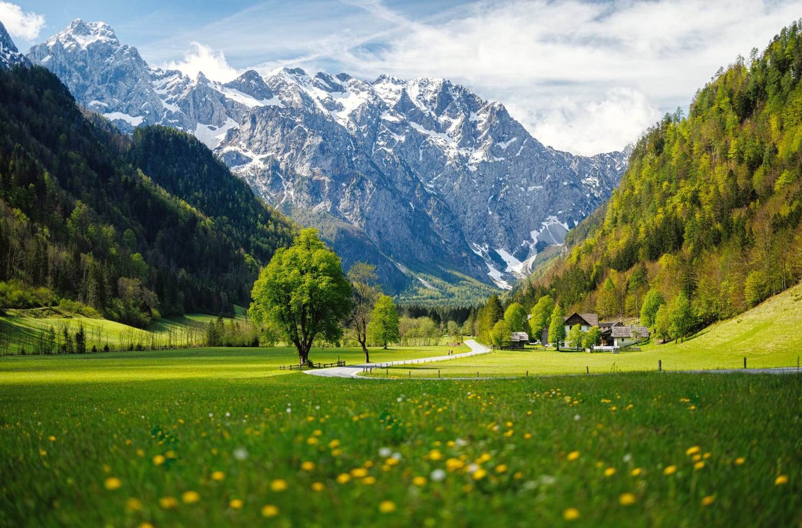
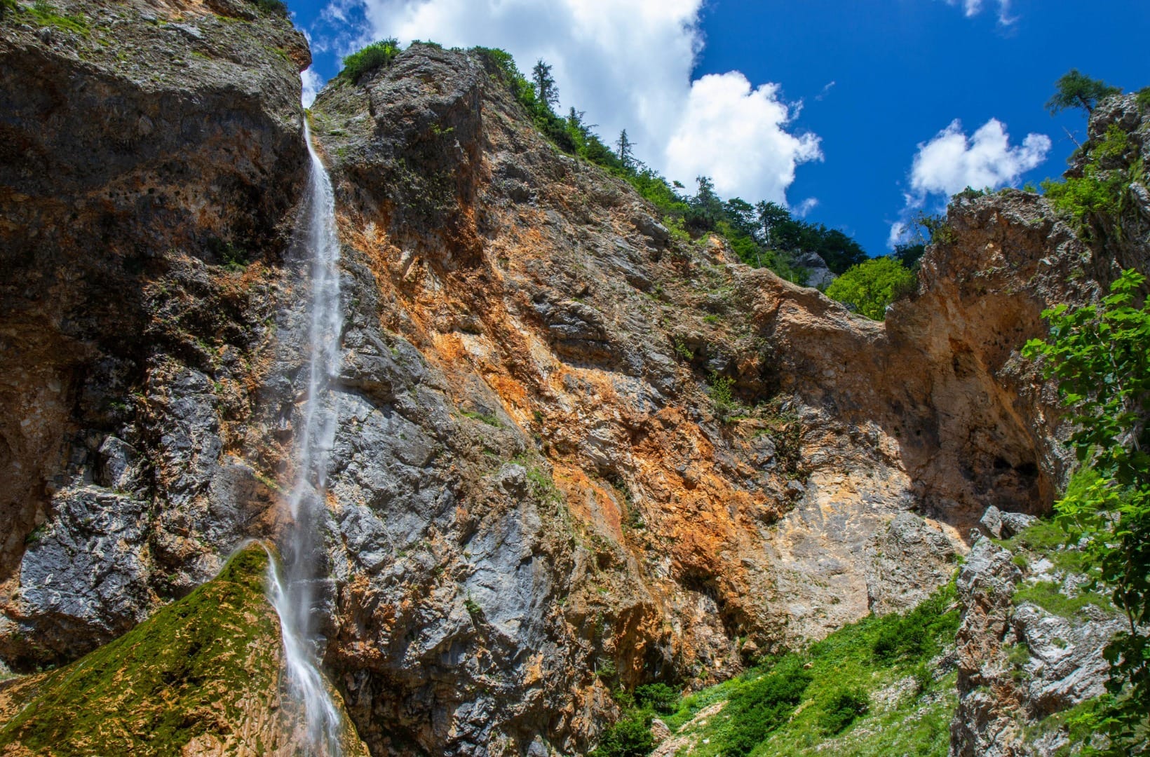
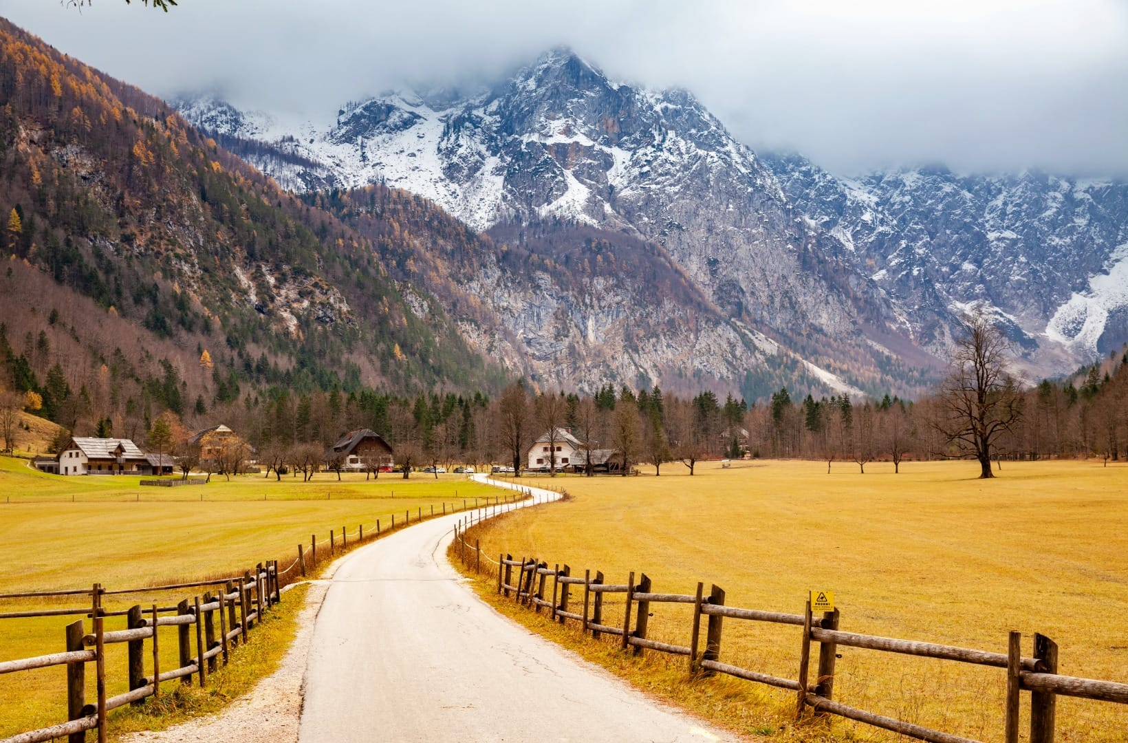
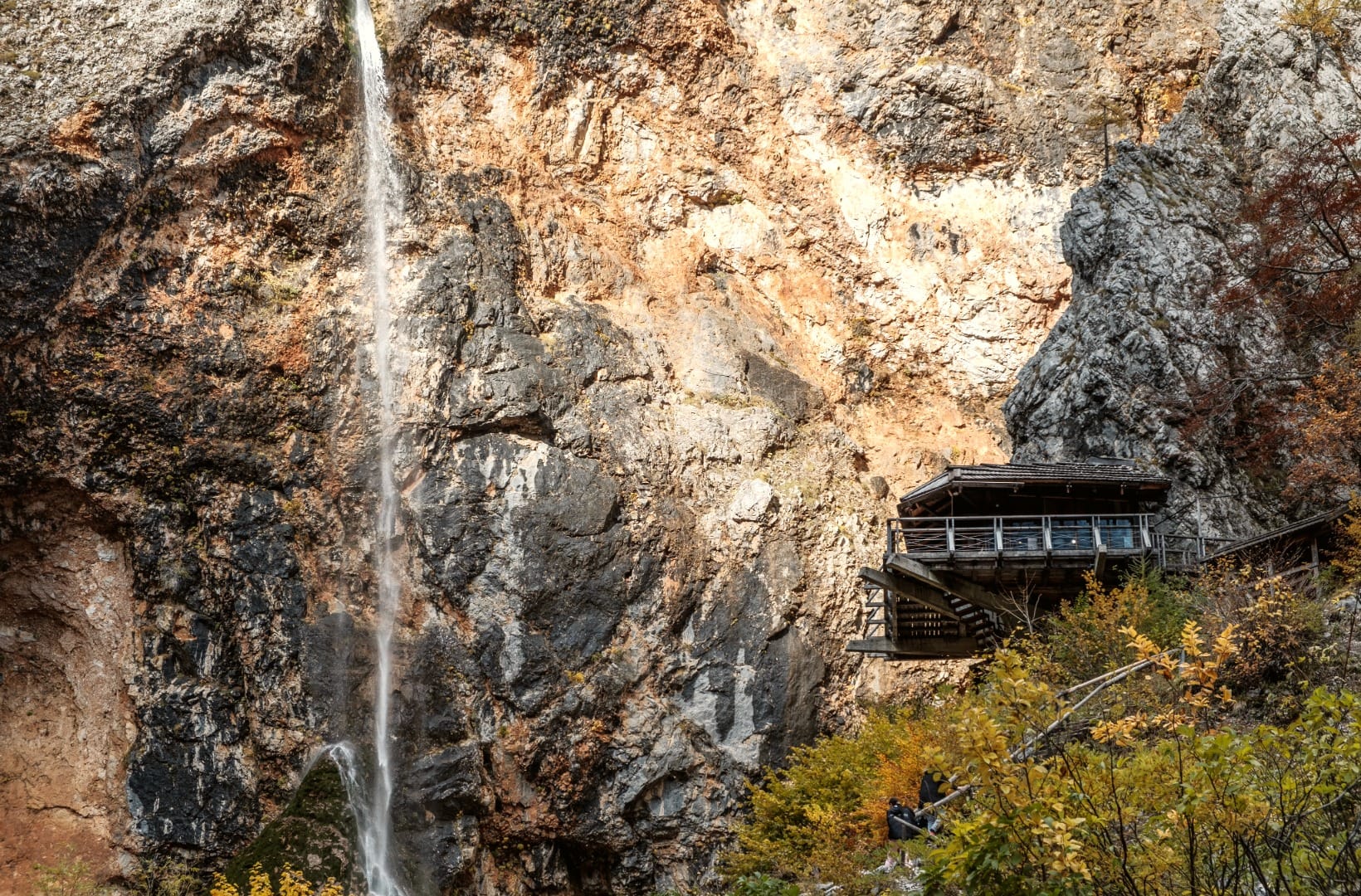
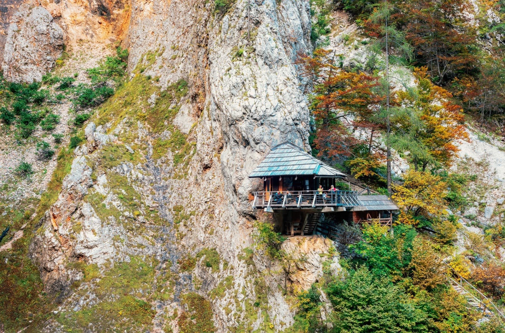
From the valley entrance it is a flat 7 km up the glacial trough — meadows, a fenced lane, farmhouses, and the walls closing in — to the head of the valley. The Rinka Waterfall drops about 90 m off the cirque wall there, one of the highest falls in Slovenia, with the Orlovo gnezdo (“Eagle’s Nest”) café on a ledge beside it. The Logar Valley Landscape Park charges cars an entrance fee (about €8–13 depending on season); cyclists and walkers enter free.
5) Back to Solčava (27–39 km)
Ride back down the valley road, out past the entrance, and follow the Savinja downstream to Solčava to close the loop — flat, quick, and mostly in the shade of the gorge.
Map
The map shows the 39 km loop from Solčava: the steep climb onto the Solčava Panoramic Road, the ridge past Podolševa and the farms, the descent to the Logar Valley entrance, and the flat run up to Rinka and back.
Travel insurance
Many standard policies exclude road cycling in the mountains and fast descents — worth checking your cover before a day like this.
Photos along the way
Best time
When to ride it
- Late May to June: the ridge pastures are green and full of flowers, the farms are lively, the waterfalls are at their fullest, and the road is reliably clear.
- September–October: the most stable weather, thin traffic, and the larch turning gold on the walls above Logarska dolina.
- Avoid summer weekend afternoons: the Logar Valley fills with cars, and the panoramic road, though quieter, gets its share of day-trippers. Ride early.
Safety & warnings
The descent, not the climb
The 500 m drop off the panoramic ridge to the Logar Valley is the one genuinely risky part: a narrow road with tight, often grit-swept bends, no barrier in places, and cars and tractors coming up. Descend well within your sight lines, brake on the straights, and treat every blind corner as if something is coming.
Before you set off
- The opening climb: 8 km at an average near 8% with long 10% pitches. A compact chainset and a 32 or 34 sprocket, or an e-bike, make it a ride rather than a walk.
- Shared farm road: the panoramic road carries local traffic, delivery vans and hay wagons. It is quiet, not car-free.
- Water and food: carry enough for the climb — the farms sell produce, not always drinks, and are spaced out. Solčava, the Logar Valley entrance and Orlovo gnezdo are the reliable stops.
- Weather: afternoon storms are the summer norm and the ridge is exposed. Carry a windproof layer for the descent even on a hot day.
Logistics
By car
Park in Solčava — there is free parking near Center Rinka. The loop starts and ends there. If you would rather ride only the valley and skip the climb, you can drive to the Logar Valley car park (the car entrance fee applies) and pedal from there.
Public transport
Solčava is hard to reach without a car — a few buses a day run up the Savinja valley from Celje via Mozirje and Luče, and not all take bikes. In practice this is a drive-to ride, or one you build into a wider alpine-valleys trip.
Renting a car for the region
Solčavsko is a dead end by public transport, and the three valleys are each a separate drive-in. A car is what makes a couple of days here — the panoramic road, Robanov kot, Matkov kot, Rinka — hang together.
Search rental cars — Slovenia & the Savinja valley
Author note: Center Rinka and a couple of the farms hire e-bikes, and on this climb an e-bike is a fair choice — it turns the hard 8 km into the enjoyable part rather than the part you survive.
How this trail fits into routes
This is the climbing day of the eastern Alps, the way Vršič is for the Julian Alps — shorter and quieter, but a real ridge climb. It sits alongside the flatter valley rides: the Soča Valley ride and the Bled–Bohinj Cycling Trail.
- The valley itself: Logarska dolina, the alpine valley sculpted by ice.
- On foot: the Logarska dolina panoramic loop trail covers the same ground at walking pace.
- Make it a trip: the Calm Valleys 5-day alpine route strings Solčavsko together with the other quiet valleys.
- The region: Alpine Slovenia.
FAQ
How hard is this ride?
Hard. It is only 39 km, but ~970 m of climbing, most of it in a steep 8 km opening at around 8–10%. After that it is ridge, a fast descent and flat valley. Fit riders with low gearing enjoy it; it is a comfortable e-bike ride; it is a real climb for a first big day.
Is it a loop?
Yes — it starts and finishes in Solčava, climbs the panoramic road, drops to Logarska dolina, rides up to Rinka and returns along the Savinja. About 39 km.
Do cyclists pay the Logar Valley entrance fee?
No. The Logar Valley Landscape Park charges cars an environmental entrance fee (roughly €8–13 depending on the season), but people arriving on foot or by bike enter free.
Road bike or gravel bike?
A road bike is fine — the loop is almost entirely paved. There are a few short gravel patches and the final approach to the Rinka viewpoint is gravel, so 28 mm tyres or wider are more comfortable. Low gearing matters more than tyre width here.
When is the panoramic road open?
Roughly April to November. It is not gated, but the high ridge bends can hold ice or snow in the shoulder seasons — check conditions before an early-spring or late-autumn ride.
Conclusion
The Solčava Panoramic Road is a small, steep, honest climb into a corner of Slovenia that still farms its mountainsides. Get the hard 8 km done early, take your time along the ridge with the farms and the Alps, and drop into Logarska dolina for the flat spin up to Rinka. Bring low gears or an e-bike, and a layer for the way down.