
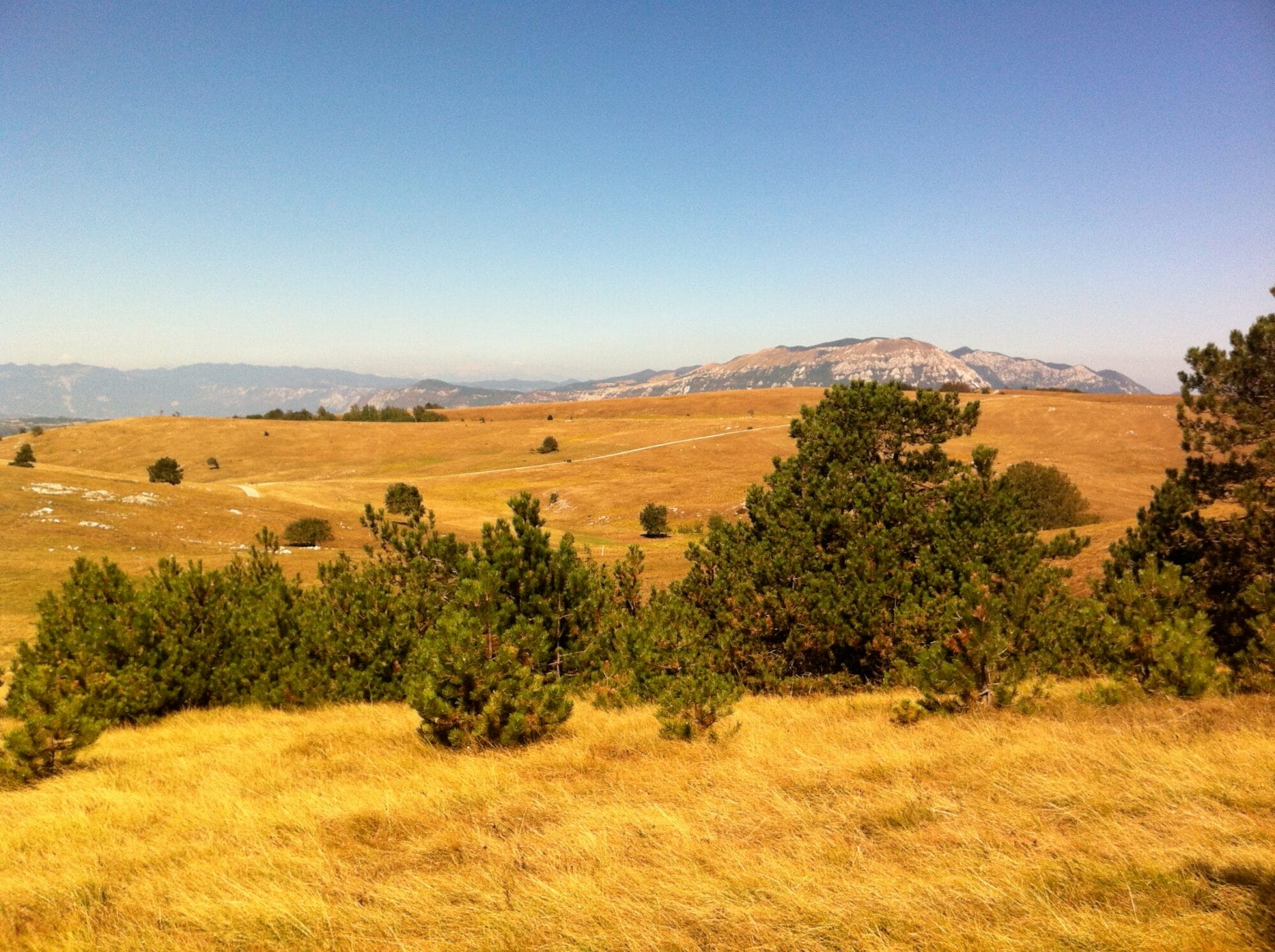
Vremščica via Magajnova pot
Hero photo: ziomaurits, via Flickr and Wikimedia Commons (CC BY 2.0)
Coast & Karst
Where to base yourself
Search places to stay near here and book directly on Booking.com.
Find a place to stayVremščica via Magajnova pot
Quick Overview – Vremščica via Magajnova pot
A long loop through the Karst villages of the Vreme valley, up onto the grassy summit ridge of Vremščica, with a view that takes in the Adriatic on one side and the Julian Alps on the other. Named after and dedicated to the Slovenian writer Bogomir Magajna, born in these hills.
Trade-off: at 14 km it’s a real day out, not a quick hill walk, and most of it is on quiet asphalt and gravel lanes through villages rather than forest trail. We choose this loop when we want the payoff of a genuinely wide Karst-to-Alps view without technical terrain.
- Type: moderate village-and-summit loop
- Region: Coast & Karst (Vreme valley, near Divača)
- Works well with: a full day for hikers who want distance and view over technical difficulty
Trail stats
- Distance: 14 km loop
- Elevation gain: 682 m
- Time: ~4.5–5.5 hours
- Difficulty: Moderate (long distance, asphalt and gravel lanes, one sustained climb to the ridge)
Slovenia Trip Starter Kit
Plan Slovenia without the usual route mistakes — a free, practical starter guide sent straight to your inbox.
Get the free guide →What to expect
This isn’t a wilderness hike — it’s a loop through real, lived-in Karst villages, connected by quiet lanes, with one proper climb up onto Vremščica’s open summit ridge. The distance is the main challenge, not the terrain.
If you want the Karst-plateau feeling without the full 14 km, most of the elevation and the summit view are concentrated in the middle third of the loop — but we wouldn’t recommend cutting the route short on a first visit, since the villages themselves are part of what makes this walk worth doing.
Route in detail
1) Famlje and the walk to Vremski Britof
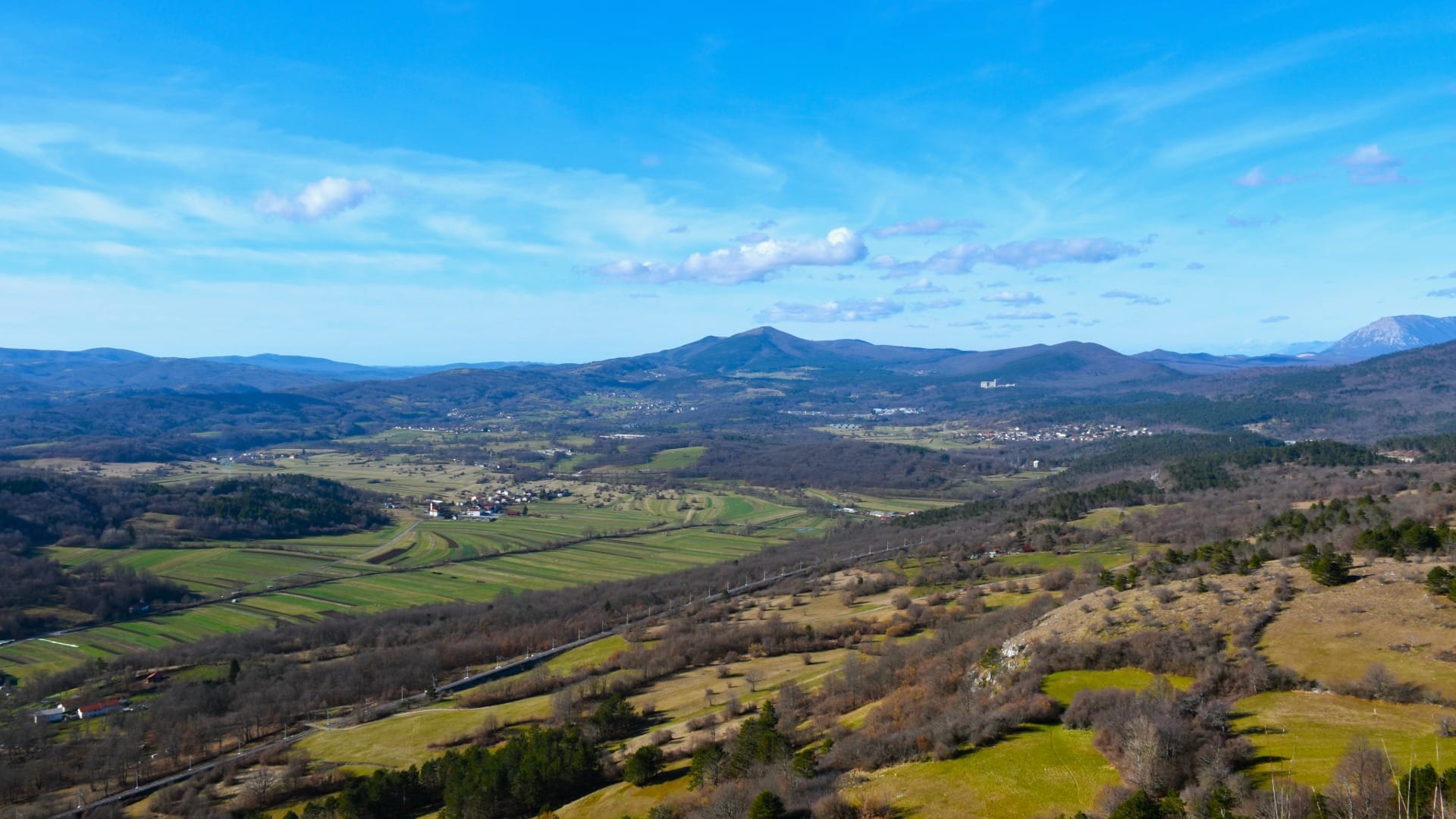
Start at the sports hall in Famlje, in the Vreme valley, and follow the lane through Vremski Britof, passing the Church of St. Lawrence. This opening stretch is flat and gives no hint of the climb ahead.
2) Up through Gornje Vreme
The route climbs gently to Gornje Vreme, the writer Bogomir Magajna’s birthplace — a good spot to pause before the real ascent begins. From here the lane steepens toward the ridge.
3) Vremščica summit ridge
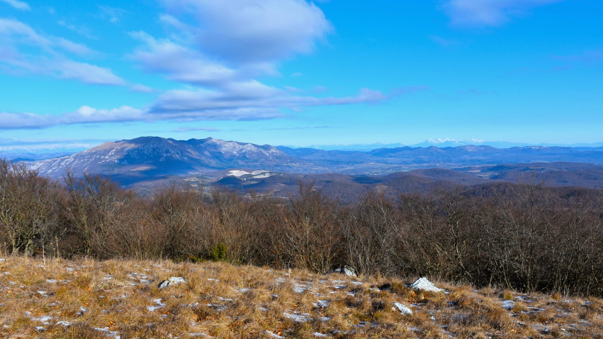
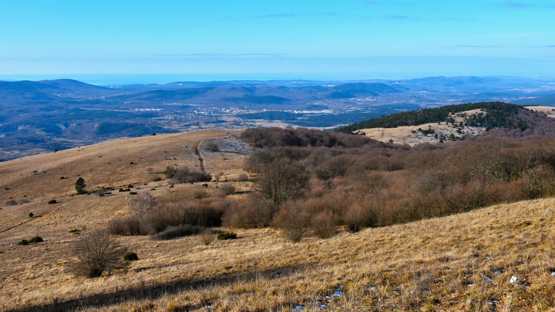
The final climb opens onto grassy, exposed slopes leading to Velika Vremščica (1,027 m), the highest point of the ridge. On a clear day the view runs from the Adriatic and the Brkini hills in one direction to Snežnik and, further still, the Julian Alps in the other.
4) Down through Dolnje Vreme
The descent drops back into the valley through Dolnje Vreme, rejoining the lanes back to Famlje. It’s a long way down after a long way up — pace yourself rather than rushing the last stretch.
Travel insurance
Standard policies often exclude hiking and mountain activities — worth checking your cover before a day like this.
Map
The map shows the full village-to-summit-to-village loop through the Vreme valley.
Best time
- Spring and autumn: the most comfortable temperatures for a route with little shade.
- Clear days: the summit view is the whole point — save this one for good visibility.
- Avoid peak summer midday heat: the exposed ridge and open lanes offer no relief from direct sun.
Safety & warnings
- Distance: 14 km is a real commitment — start early enough to finish comfortably before dark.
- Sun exposure: carry more water than usual; shade is limited for most of the route.
- Wind on the ridge: the summit can be windy even when the valley below feels calm.
Logistics
By car
Famlje is a short drive from Divača, itself easily reached from Ljubljana or the coast — this makes a good stop on a Karst-region day that also includes Škocjan Caves or the coast.
Public transport
Divača has a train station on the main Ljubljana–coast line, but Famlje itself is a further drive or a long walk from there — a car is the practical choice for this route.
Renting a car for trail days
Many of the trails on our portal are realistically done by car: early starts, flexible returns and last-mile forest or valley access are hard to match with buses.
Search rental cars — Slovenia & Ljubljana Airport
Author note: for a long day like this, an early start matters more than the car itself — any compact rental handles the approach roads fine.
How this trail fits into routes
Vremščica is a strong Karst-region pick for hikers who want distance and a real summit view without technical terrain.
- Same region, shorter days: combine this with a visit to nearby Škocjan Caves for a fuller Karst itinerary.
- Different regions, more hills: if this loop leaves you wanting more elevation, Mount Krim from Iška vas is a comparably serious day near Ljubljana.
Conclusion
Vremščica rewards patience more than fitness — it’s long, but nothing on it is technically hard, and the payoff at the top is a genuinely rare kind of view: sea on one side, Alps on the other. Go on a clear day, start early, and treat the distance with respect.