
Great Soča Gorge Trail
Alpine Slovenia
Where to base yourself
Search places to stay near here and book directly on Booking.com.
Find a place to stayGreat Soča Gorge Trail
Quick Overview – Great Soča Gorge Trail
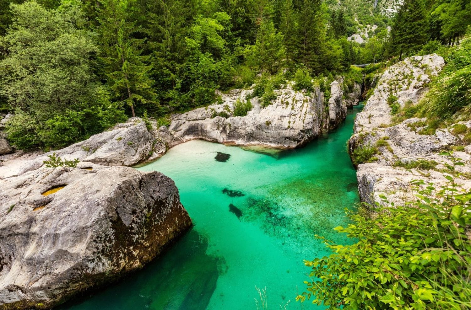
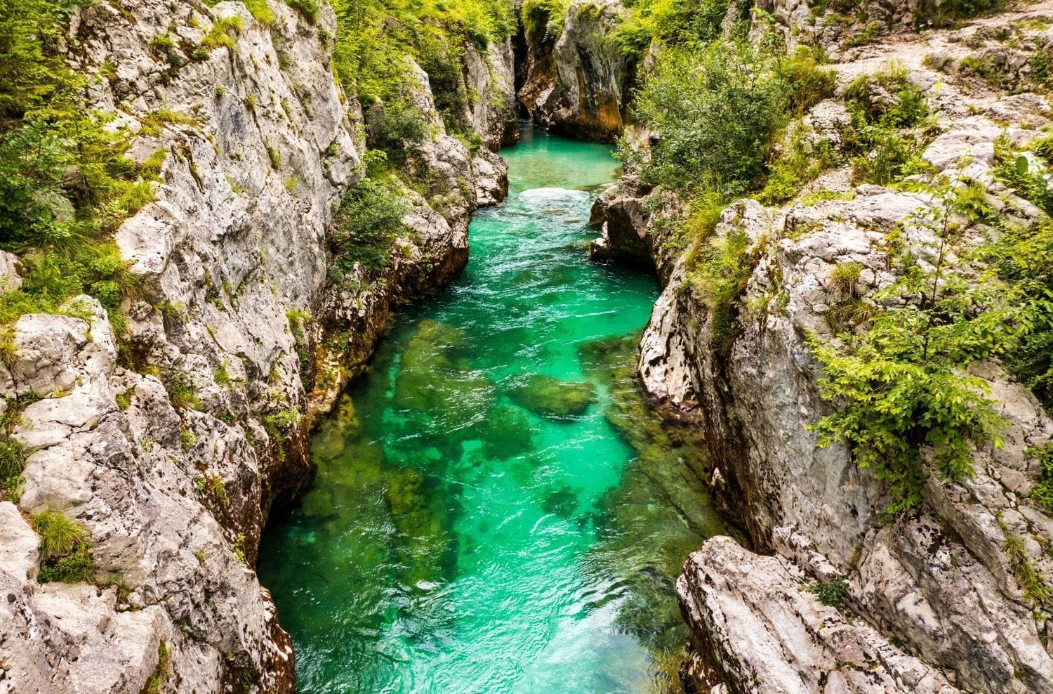
The Velika korita Soče, the “Great Trough of the Soča”, is a 750 m limestone slot where the river narrows to a few metres and drops into pools up to 15 m deep. The core walk is short: about 1.5 km of path and three bridges. We treat that as the centre of a day rather than the whole of it, because the same trailhead feeds a 4.6 km river loop, the 25 km Soča Trail and the walk to the river’s source.
Honest limitation: the gorge itself takes 30–60 minutes, it is busy from mid-morning in July and August, and the small lot beside it fills before 10:00. Everything below is aimed at getting you a real half-day here instead of a rushed photo stop.
- Type: river gorge walk, with longer add-ons from the same start
- Region: Upper Soča Valley, Triglav National Park (10 km from Bovec)
- Works well with: low-effort days, hot afternoons, Vršič Pass drives, transit days between the Alps and the coast
Trail stats
Option A — the gorge only (easy)
- Distance: ~1.5 km there and back
- Elevation gain: negligible
- Time: 30–60 minutes with stops
- Difficulty: Easy
Option B — gorge plus the river loop to the village of Soča (easy)
- Distance: 4.6 km loop
- Elevation gain: ~90 m of rolling ground, no climb
- Time: 1 h 30 min at a slow pace
- Difficulty: Easy
Longer add-ons (see below)
- Mala korita loop from Trenta: ~16 km, ~440 m ascent, 4–5 h, moderate
- Full Soča Trail, Trenta to Bovec: ~25 km, 6–8 h, mostly downhill
- Source of the Soča spur: 30 min each way, cabled and exposed at the end
Parking: every option, and when each one fills
Parking is the real friction here, not the walking. The gorge sits on road 206 between Bovec and Trenta, on a stretch with almost no verge. There is no big car park, and the two proper lots are small. This is what each option actually gets you.
- Roadside lot at the footbridge (east side) — around 46.3349, 13.6456. Free, space for roughly 7–10 cars, directly at the suspension bridge that most photos are taken from. This is the start point for the walk below.
- Paid lot via the village of Soča (west side) — turn off 206 onto the lane signed “Soča”, cross the river, park at the developed lot near the downstream end of the gorge. Larger, surfaced, with a short flat path in. Charged in summer — budget roughly €1–3 per hour depending on the season, coins or card at the machine.
- Village of Soča itself — park in the village (about 1.5 km upstream) and walk the riverside Soča Trail to the gorge in 20–25 minutes. Slower, but usually has space when both lots are gone, and the approach walk is pleasant rather than a chore.
- Roadside pull-offs on 206 — a handful of unmarked gravel bays within 500 m of the turn. Free, legal only where the car is fully off the tarmac, and gone early.
- Campsites — if you are staying at a campground in Trenta, Lepena or Soča, walk or cycle in. It removes the whole problem.
Time your arrival
The free lot is realistic only before 09:30 or after 16:00. Between 11:00 and 15:00 in July and August you will circle for 20 minutes and end up blocking the road. This is inside Triglav National Park, and wardens do ticket cars left on the tarmac or on vegetation. For live valley conditions and any seasonal parking changes, the regional tourist board keeps a page at soca-valley.com.
Slovenia Trip Starter Kit
Plan Slovenia without the usual route mistakes — a free, practical starter guide sent straight to your inbox.
Get the free guide →What to expect on the gorge walk
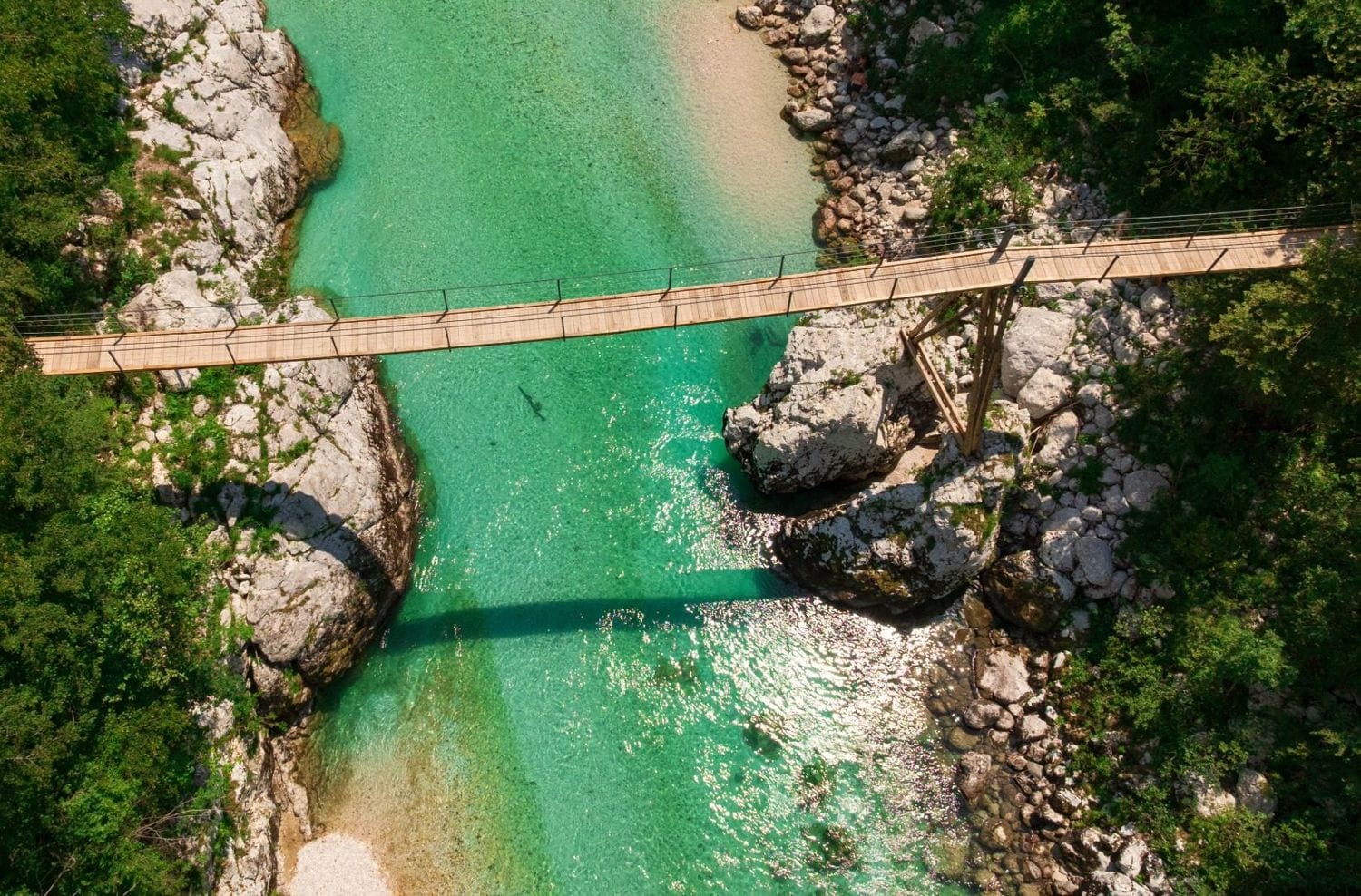
This is the cleanest short introduction to the Soča anywhere in the valley. From the footbridge the river is directly below you, squeezed between polished white walls, the water the deep blue-green that gives the Soča its nickname, “the Emerald River”. Unlike the ticketed boardwalk at Vintgar Gorge, nothing here is built up. There is a bridge, a dirt path along the rim and a series of short scrambles down to rock shelves at the water. You decide how close you get.
The trade-off for that freedom is that it is unmanaged. The rim path is narrow, roots and rock are slick after rain, and there are no railings at the informal viewpoints. It is fine for steady walkers and older children who listen; it is not a place to let a toddler run.
The gorge walk in detail (Option B)
1) Footbridge lot to the suspension bridge
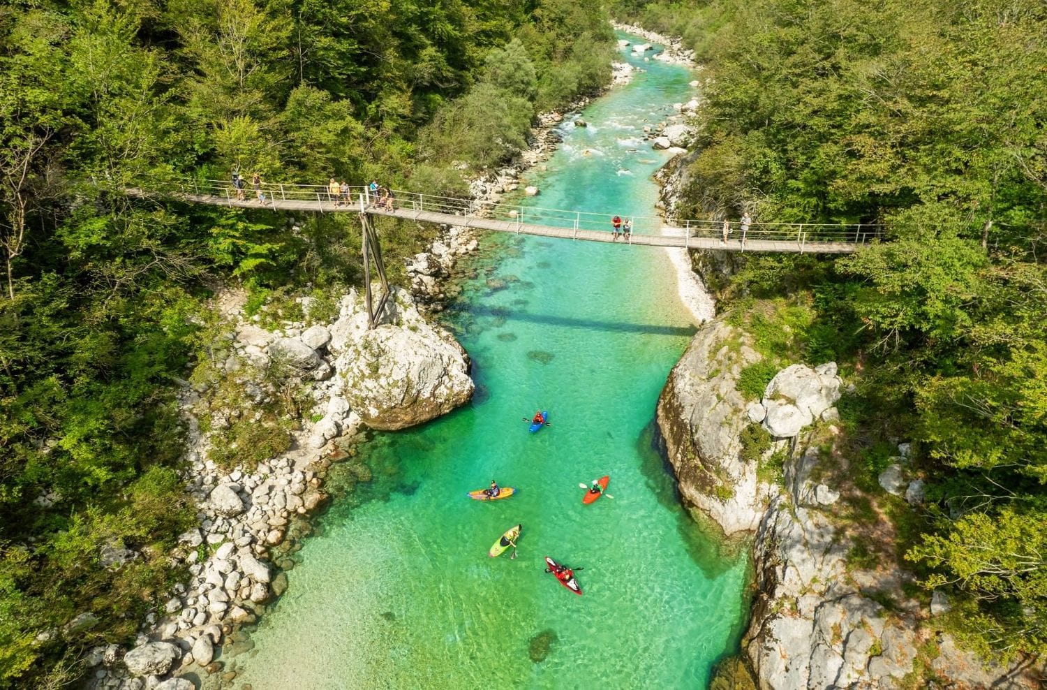
From the free lot it is 100 m to the suspension bridge. Cross it for the classic downstream view into the slot. This is the busiest single spot on the route, so if it is crowded, note it and come back on the way out.
2) Along the gorge rim
Pick up the path on the far bank and follow it downstream along the rim. Every 30–60 seconds a side trail drops 3–5 m to a rock ledge or a small pebble beach. The best light is mid-morning or late afternoon; at midday the contrast between lit water and shadowed rock is harsh and photographs badly.
3) The calm pool at the gorge mouth
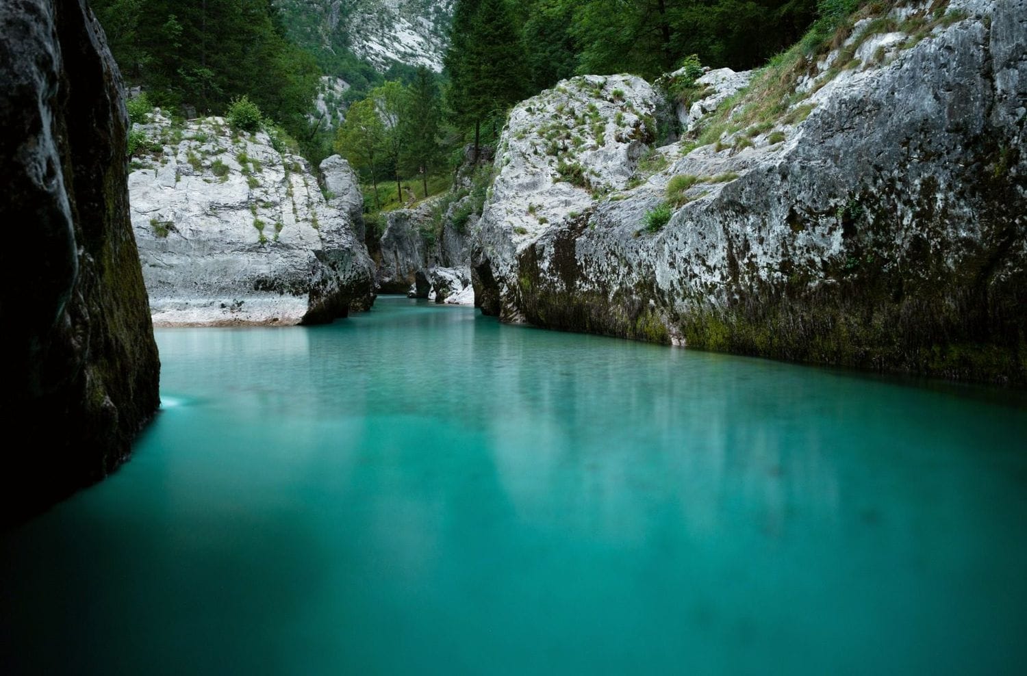
Where the walls open out, the river slows and deepens into a broad pool over pale gravel. This is the one place on the walk where swimming makes sense (see the swimming section). It is also where day-trippers thin out, because most turn back at the bridge.
4) Riverside path to the village of Soča and back
Continue upstream on the Soča Trail. The path stays within sight of the water through open pasture and light forest for about 2 km to the village of Soča, a working hamlet with a church, a couple of guesthouses and, in season, somewhere to buy a coffee. Turn around here. The return along the other bank closes the 4.6 km loop and the afternoon light usually makes it feel like a different walk.
Map and elevation
The line shows the 4.6 km loop: footbridge lot, the gorge, then the riverside path upstream to the village of Soča and back along the far bank. Markers show the parking and the turnaround.
Longer walks from the same valley
If the gorge alone feels thin for the drive in, three longer options start within a few kilometres and follow the same river.
Mala korita Soče — the small gorge
About 3 km upstream, near the village of Soča, the river cuts a second, tighter slot: the Mala korita, only 100–150 m long and up to 6 m deep, crossed by a small wooden footbridge. On its own it is a 1 km loop of 30–45 minutes from a roadside pull-off. For a real walk, the loop from Trenta links both gorges: roughly 16 km with about 440 m of cumulative ascent along forest paths and both banks, 4–5 hours, moderate only because of distance. The map below is that longer Trenta loop.
Do not swim in the Mala korita
The channel is narrow, the current is fast and the rock is polished smooth with no way out if you are swept in. It is regularly the site of rescues. Look, photograph, keep out of the water.
The full Soča Trail (Soška pot): 25 km, Trenta to Bovec
The Great Soča Gorge is the single most photographed section of a much longer waymarked path. The Soča Trail runs about 25 km down the valley from Trenta to Bovec, marked the whole way and forms one stage of the long-distance Alpe-Adria Trail. It is easy underfoot despite the length, mostly descending, and you can walk any part of it and take the valley bus back. Managed by Triglav National Park, with a route description also on the Trenta tourist society site.
Rough breakdown if you want the best of it rather than all 25 km:
- Upper Trenta to the village of Soča — about 8 km, 2 hours. Quietest section, narrow canyon stretches, the Mala korita, farm hamlets. Bus stops at Trenta and Na Logu.
- Village of Soča to Lepena junction — about 4 km, 1 hour. Includes the Great Soča Gorge and the confluence beach where the Lepena stream meets the Soča. This is the section most people should walk if they only walk one.
- Lepena to Čezsoča and Bovec — about 13 km, 3–4 hours. The valley widens, the river braids across gravel flats, and the swimming and rafting sections start. Ends near Bovec, where buses and taxis are frequent.
Source of the Soča (Izvir Soče)
At the top of the valley in Zadnja Trenta, the Soča emerges from a cave at 876 m. From the car park at Koča pri izviru Soče it is about 30 minutes each way. Combine it with the gorge on a Vršič Pass day, since the turn-off is on the same road.
The last 100 m are exposed
The final stretch to the cave is a ledge, in places 20 cm wide with cut steps, secured with a steel cable. It is safe if you are steady and use the cable, and a bad idea if you have vertigo or are carrying a small child.
Lepena valley and the Soča–Lepena confluence
At the real Lepena junction, 1.5 km up the side road, a short flat trail leads through the Sunikov vodni gaj, a protected water grove of springs and small cascades — 30–40 minutes, almost no effort, and usually empty. Back down at the main river, the white-stone beach where the Lepena stream joins the Soča is the standard place to sit and swim after the gorge, about 15 km downstream of the source. The same junction is the trailhead for Lake Krn via Lepena if you want a full mountain day instead.
Travel insurance
Standard policies often exclude hiking, rafting and other mountain activities — worth checking your cover before a Soča Valley trip.
Swimming in the Soča: where it works, where it doesn’t
You can swim in a lot of the Soča, but not most of it, and the difference is easy to read once someone tells you. Slow, wide, shelving gravel with the bottom visible is fine. Any narrowing where the current pushes toward a rock wall is not. There are no lifeguards anywhere on the river.
- The pool at the gorge mouth — the broad calm basin just downstream of the Velika korita is the usual swim on this walk. Deep, slow, easy to get in and out.
- Soča–Lepena confluence beach — white stones, shallow edges, room to sit. Popular with families.
- Čezsoča to Bovec flats — the braided section below Lepena has several calm side pools.
- Warm alternative: the Nadiža near Kobarid runs 20–24 °C on a hot day. The Soča itself sits at 10–12 °C near Bovec and Trenta even in August, and about 15 °C by Tolmin.
Cold shock is the real hazard, not depth
At 10 °C the water knocks the breath out of you for the first 30 seconds, so get in slowly and stay near the edge. Keep out for a day or two after heavy rain, when the river is up and pushy. Pools shift with each spring flood — if a spot looks different from a photo you saw, trust what is in front of you.
On the water: rafting and kayaking
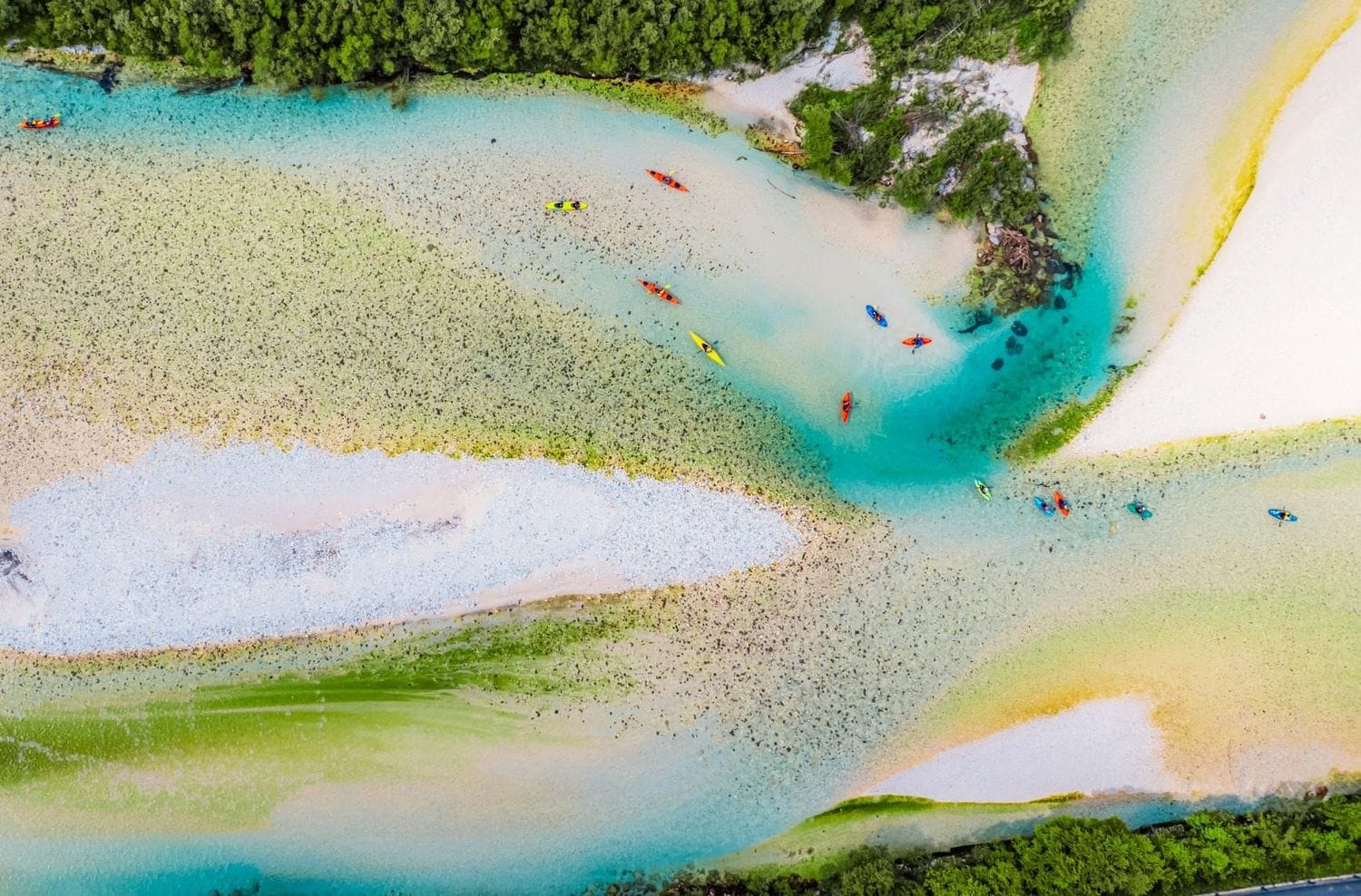
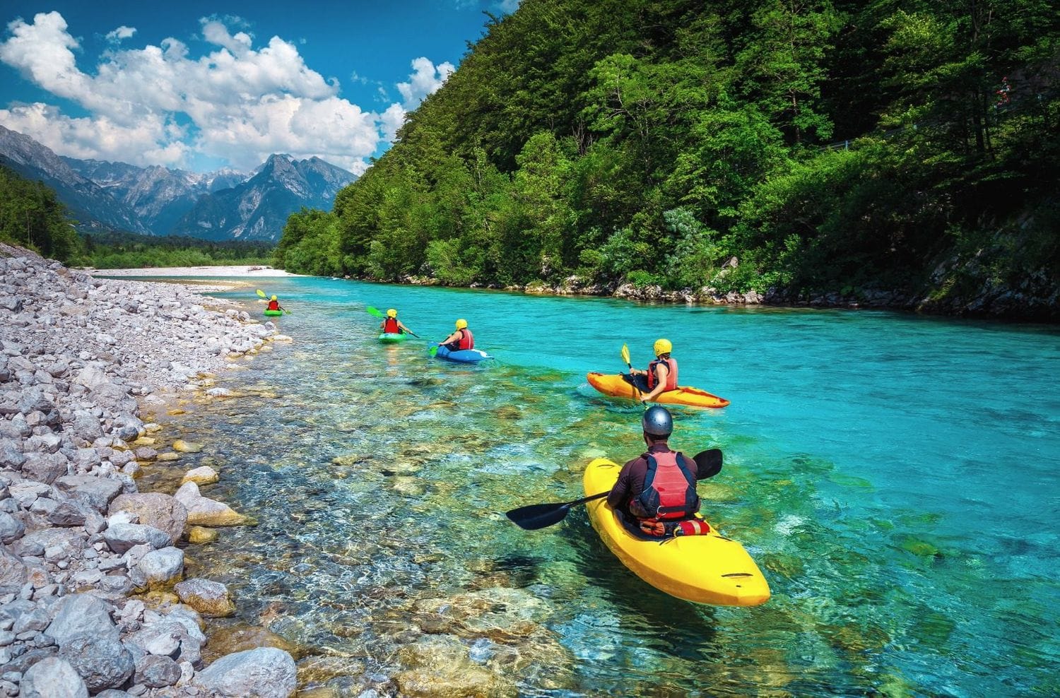
This stretch of the Soča is Slovenia’s main whitewater river. Commercial rafting and kayak trips run mostly between Čezsoča and Trnovo ob Soči, downstream of the gorge, at grade II–III in summer and higher in spring snowmelt. The gorge section itself is technical and used by experienced paddlers, not beginner trips. The season runs mid-March to October, most operators are based in Bovec, and independent paddling needs a permit from the national park. Our full rafting and kayaking guide covers the sections, the permit system and prices; for now, treat the boats you see from the footbridge as a sign this is a river people play on, carefully.
What else is nearby
The Upper Soča Valley rewards a base of two or three nights rather than a drive-through. All of these are within 40 minutes of the gorge.
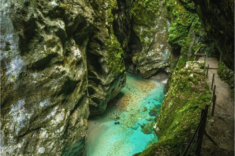
Tolmin Gorge
The valley’s southern gorge — deeper, ticketed, with the Bear’s Head rock and the Devil’s Bridge on a 2 km loop.
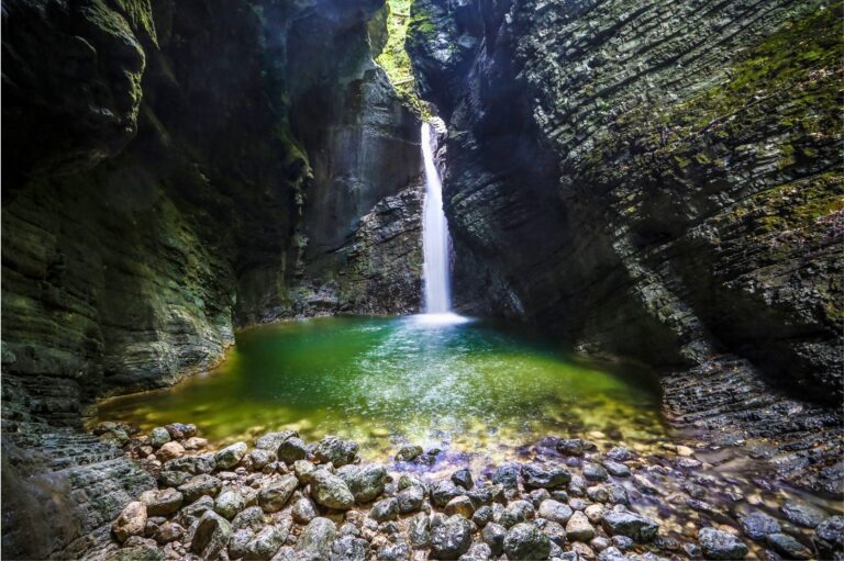
Kozjak Waterfall
A 15 m fall in a lit limestone chamber near Kobarid. Easy 20-minute walk in; busy by mid-morning.
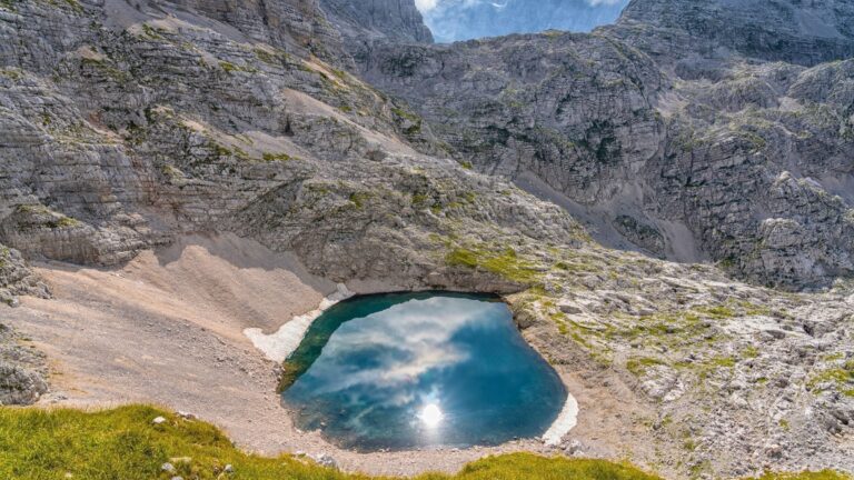
Križ Lakes above Trenta
High glacial lakes in the Triglav Lakes basin. A hard full-day climb of about 1,200 m, for fit hikers only.
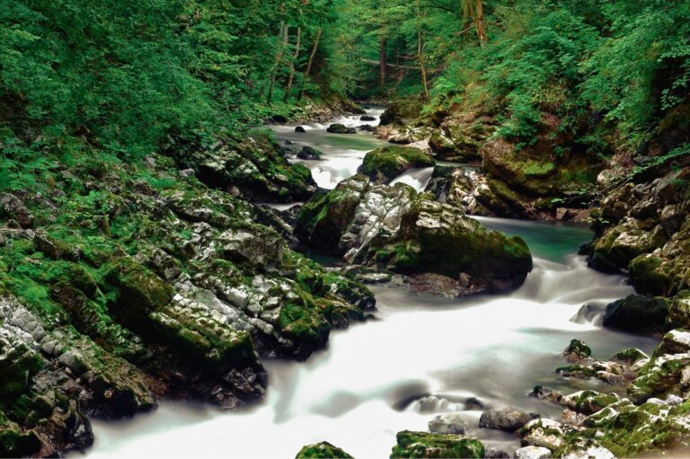
Kosec Gorges
Narrow limestone corridors and a hillside church above Kobarid, on a quiet loop few day-trippers reach.
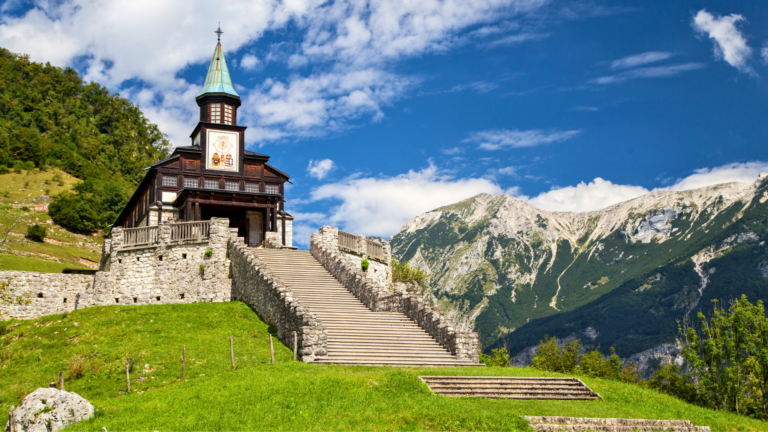
Javorca Church
A WWI memorial church above Tolmin with painted Secession woodwork, reached by a forest road and a short climb.
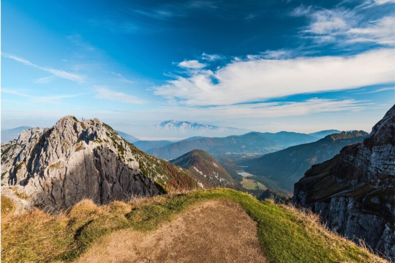
Mangart Saddle
The highest road in Slovenia at 2,072 m, 40 minutes from the gorge via Bovec. Toll road, open roughly June to October.
Best time to go
- Water colour: strongest turquoise from June to September in settled weather, 2–3 days after any rain.
- Crowds: heaviest 10:00–16:00 in July and August. May, June, September and early October are quieter and the light is better.
- Swimming: realistic only from late June to early September, and even then the water is cold.
- Avoid: the day of and day after a storm, when the river is high, brown and loud.
Getting there
By car
The gorge is 10 km from Bovec on road 206 and about 30 km from Kranjska Gora over the Vršič Pass, a slow 1-hour drive of 50 hairpins that is a highlight in its own right. A vignette is not needed on 206 itself. Aim to arrive before 09:30.
Without a car
A seasonal bus runs Bovec–Trenta along 206 a few times a day in summer and stops near the village of Soča; from there it is a 20-minute walk to the gorge. Outside July and August the service is minimal. If you are building a car-free trip, our guide to travelling Slovenia without a car covers how the Soča Valley connects to the rest of the country.
Renting a car for valley days
The Upper Soča Valley is one of the parts of Slovenia where a car genuinely changes the day. Early starts beat the parking, and most trailheads above the valley floor have no bus at all.
Search rental cars — Slovenia & Ljubljana Airport
Author note: pick a compact car with free cancellation, and do not plan a late-morning arrival at the gorge in August.
How this trail fits into a bigger trip
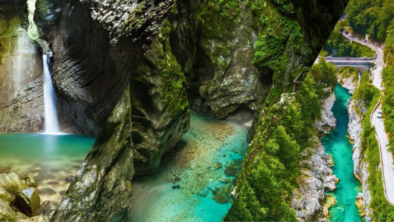
Soča Valley highlights — one day
Tolmin Gorge, Kozjak Waterfall and this river walk in a single day, with drive times and parking for each stop.
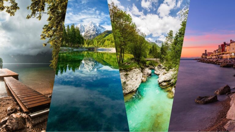
10-day Slovenia grand loop
The valley as days 3–4 of a four-base loop, reached over the Vršič Pass from the Bled and Bohinj side.
Frequently asked questions
Where does the Great Soča Gorge trail start?
At the free roadside lot beside the suspension footbridge on road 206, about 46.3349, 13.6456, between Bovec and Trenta. If that lot is full, park at the paid lot via the village of Soča or in the village itself and walk in along the river.
How long is the walk and how hard is it?
The gorge alone is about 1.5 km there and back with no climb, 30–60 minutes. The full river loop to the village of Soča and back is 4.6 km with roughly 90 m of gentle up and down, about 1 h 30 min. Both are easy; the rim path is unfenced and slippery when wet.
Is there an entrance fee?
No. The gorge is open at all hours with no ticket. The only cost is parking: the lot at the footbridge is free, and the lot near the village of Soča charges roughly €1–3 per hour in summer.
Can you swim in the Great Soča Gorge?
Yes, in the wide calm pool at the downstream mouth of the gorge, where the river slows and deepens. Do not swim inside the narrow channel or in the nearby Mala korita, where the current is fast and there is no way out. The water is 10–12 °C even in August.
Can you visit without a car?
In July and August a seasonal bus runs along road 206 between Bovec and Trenta and stops near the village of Soča, a 20-minute walk from the gorge. Outside those months the bus barely runs and a car or a Bovec-based tour is the practical option.
How is this different from the Soča Trail?
The Great Soča Gorge is one short section of the Soča Trail (Soška pot), the 25 km waymarked path from Trenta to Bovec. If you want more than the gorge, walk the 4 km section from the village of Soča to the Lepena junction, which includes the gorge and the confluence beach.
Our take
The gorge is a 30-minute stop that half the valley drives to at the same time of day. The fix is not to skip it but to widen it: come early, walk the loop to the village of Soča, swim at the pool, and treat the Mala korita, the source and the Lepena grove as the rest of a genuine half-day. Done that way, the Upper Soča earns the drive over Vršič. Done as a car-park scramble at noon in August, it does not.
You might also like
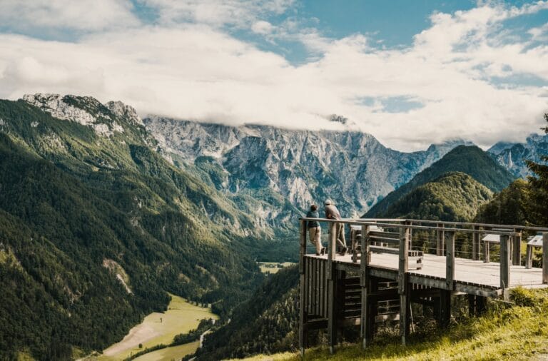
A 39 km loop from Solčava: a steep climb onto the Solčava Panoramic Road past the…
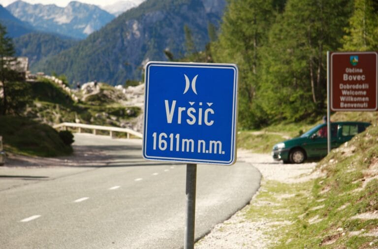
The hardest ride on this site: 39 km from Bovec up the Soča valley and over…
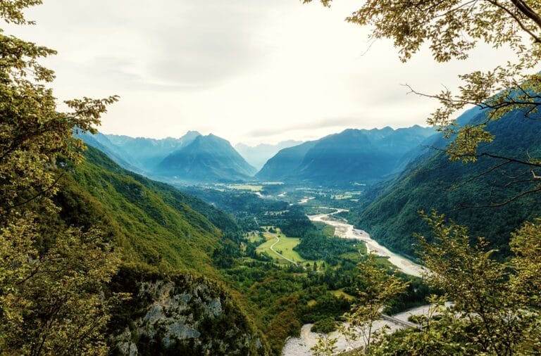
The scenic left-bank ride down the upper Soča: 23 km of gravel and cable footbridges from…