
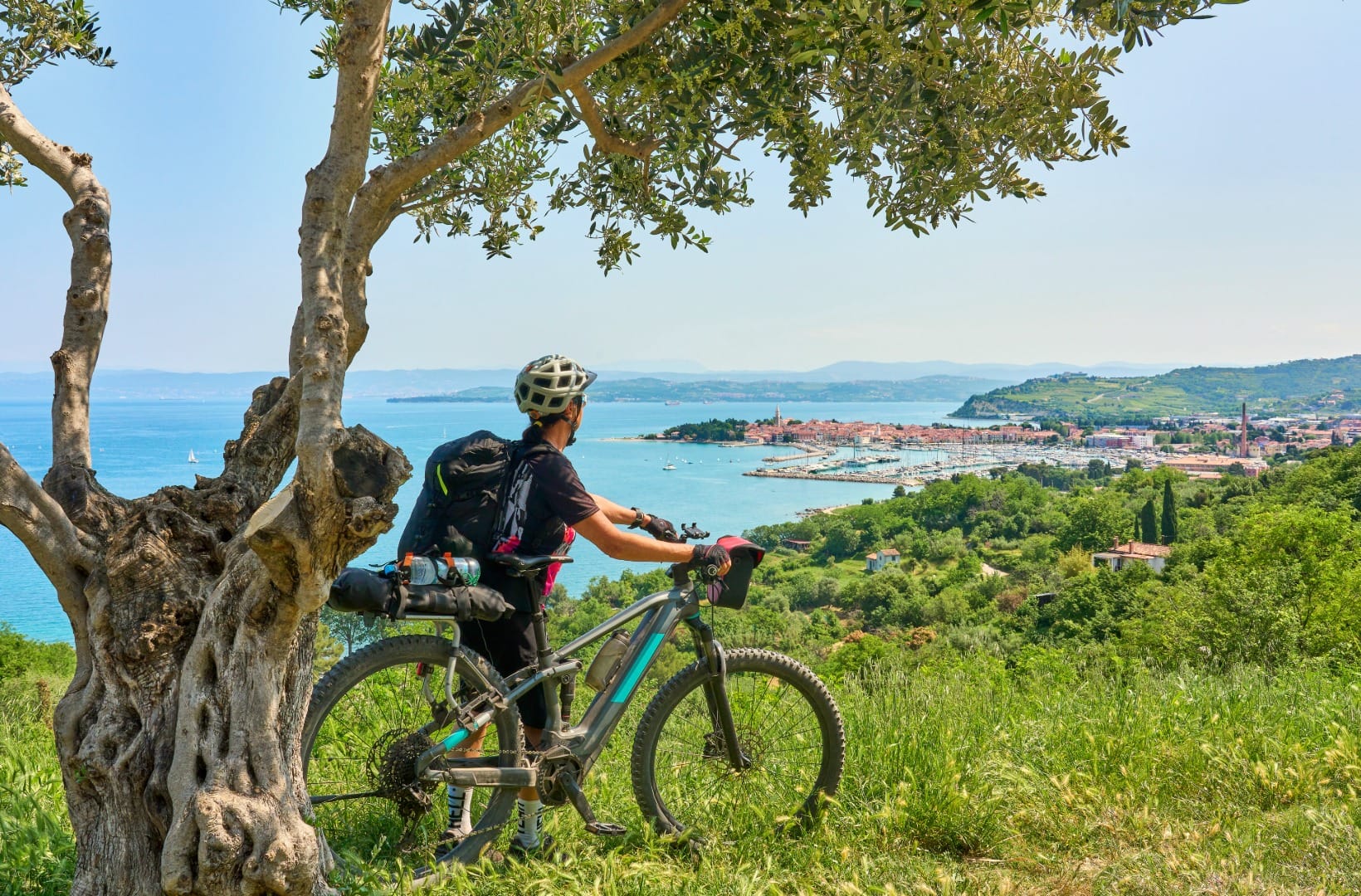
Parenzana Trail: Cycling the Slovenian Coast
Coast & Karst
Where to base yourself
Search places to stay near here and book directly on Booking.com.
Find a place to stayParenzana Trail: Cycling the Slovenian Coast
Quick Overview – Parenzana Trail (Slovenian section)
The Slovenian stretch of the Parenzana runs 32 km along the coast on the bed of a narrow-gauge railway that closed in 1935, from the Italian border above Koper to the Sečovlje salt pans on the Croatian border. It is flat, mostly car-free, and the easiest long scenic ride in the country — once you are past the first 8 km.
- Type: coastal rail-trail (former Trieste–Poreč narrow-gauge line), part of EuroVelo 8
- Region: Coast & Karst (Škofije, Koper, Izola, Strunjan, Portorož, Sečovlje)
- Works well with: a relaxed half to full day on a hybrid or e-bike, a night in Piran or Portorož, and a walk out to the Strunjan cliff
Trail stats
- Distance: 32 km one-way (Škofije border to Sečovlje Salina at Lera); about 64 km if you ride back
- Elevation gain: ~200 m one-way — old railway grade, nothing steeper than a gentle drag
- Time: 2.5–3.5 hours one-way of riding; half a day with stops
- Difficulty: Easy. Paved asphalt and compacted gravel, two tunnels, and a few busy resort stretches where you have to slow right down
What to expect
The Parenzana — Porečanka in Slovene — was a 760 mm narrow-gauge railway that linked Trieste with Poreč from 1902 to 1935, running about 123 km through what are now three countries. It never turned a profit, the track was lifted, and for decades the alignment sat abandoned. Slovenia’s 32 km were rebuilt as a walking and cycling path, and the route now carries the EuroVelo 8 badge along the coast.
Here is the honest part. This is not one uninterrupted nature ride. The first 8 km out of Škofije skirt the edge of Koper — the bypass road on one side, light industry and the container-port cranes across the bay on the other. It opens up the moment you clear Izola and stays that way to the end, but if the industrial opening does not appeal, start in Koper or Izola instead (see the shortened version below). The other trade-offs: very little shade for long stretches, hot asphalt around Portorož and Lucija in July and August, and a shared path near the resorts where walkers, children and rental e-bikes mean you spend a fair amount of time at walking pace.
Route in detail
1) Škofije to Koper (0–8 km)
Start at the old Škofije station area, right at the Italian border — the same railbed carries on into Italy toward Muggia if you want to add distance at the start. From Škofije the path descends very gently through Dekani, running alongside the Koper bypass and passing the edge of the Škocjanski zatok wetland reserve on the way into town. Flat, easy, and the least attractive 8 km of the day.
2) Koper to Izola (8–16 km)
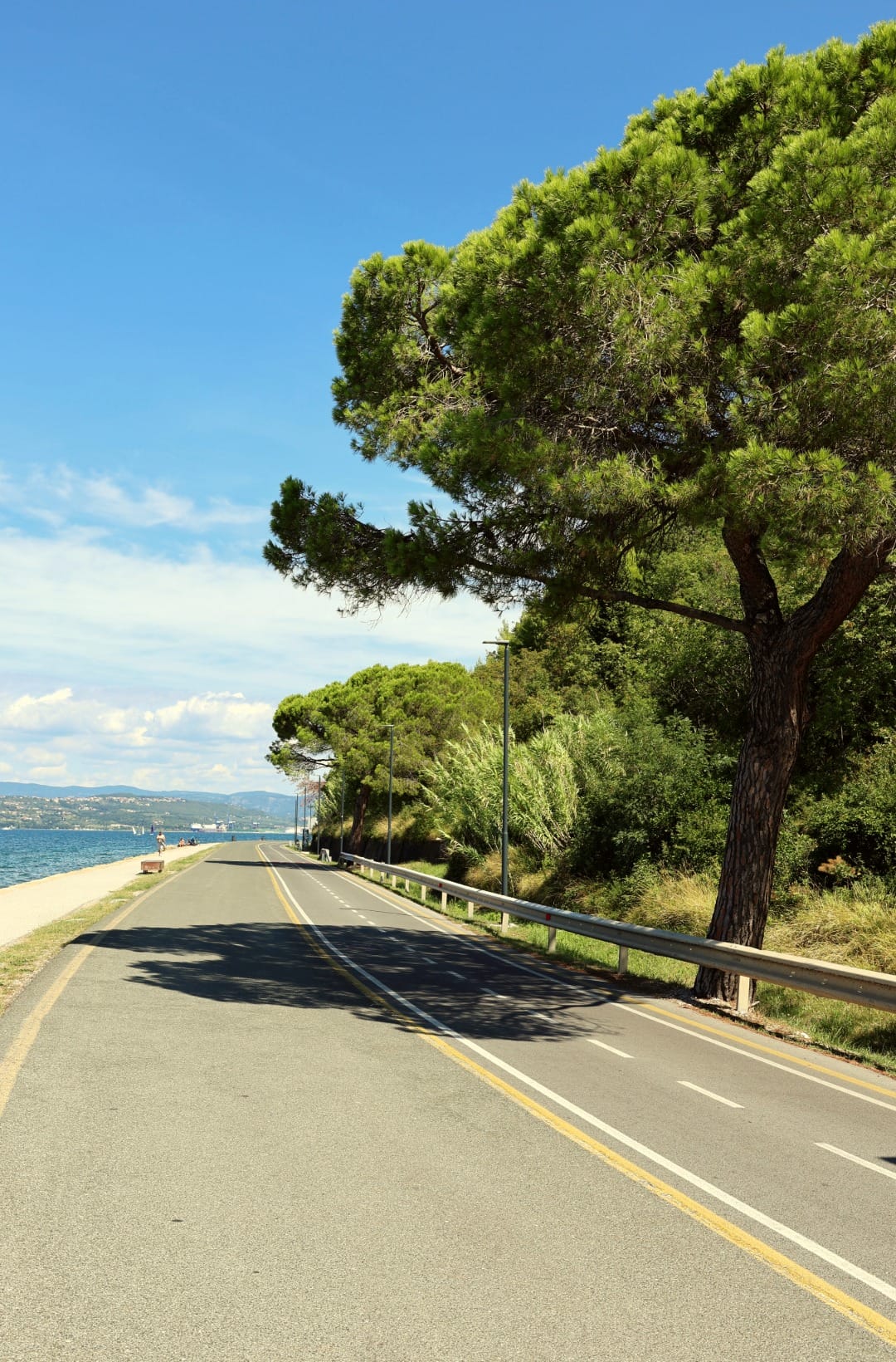
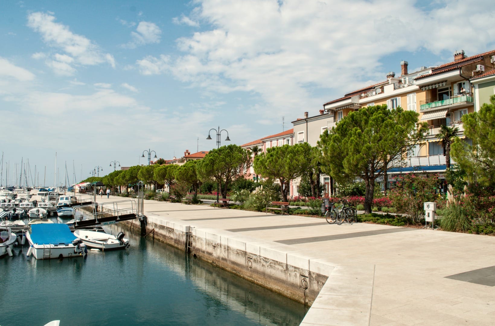
Past Koper the route meets the sea and stays with it. The stretch between Koper and Izola runs along the shore under parasol pines, with a short climb over the headland at San Simon before dropping into Izola. Izola itself is the first place worth getting off the bike — the fishing harbour and Manzioli Square a block back from the water.
3) Izola to Strunjan: the tunnels and the salt pans (16–21 km)
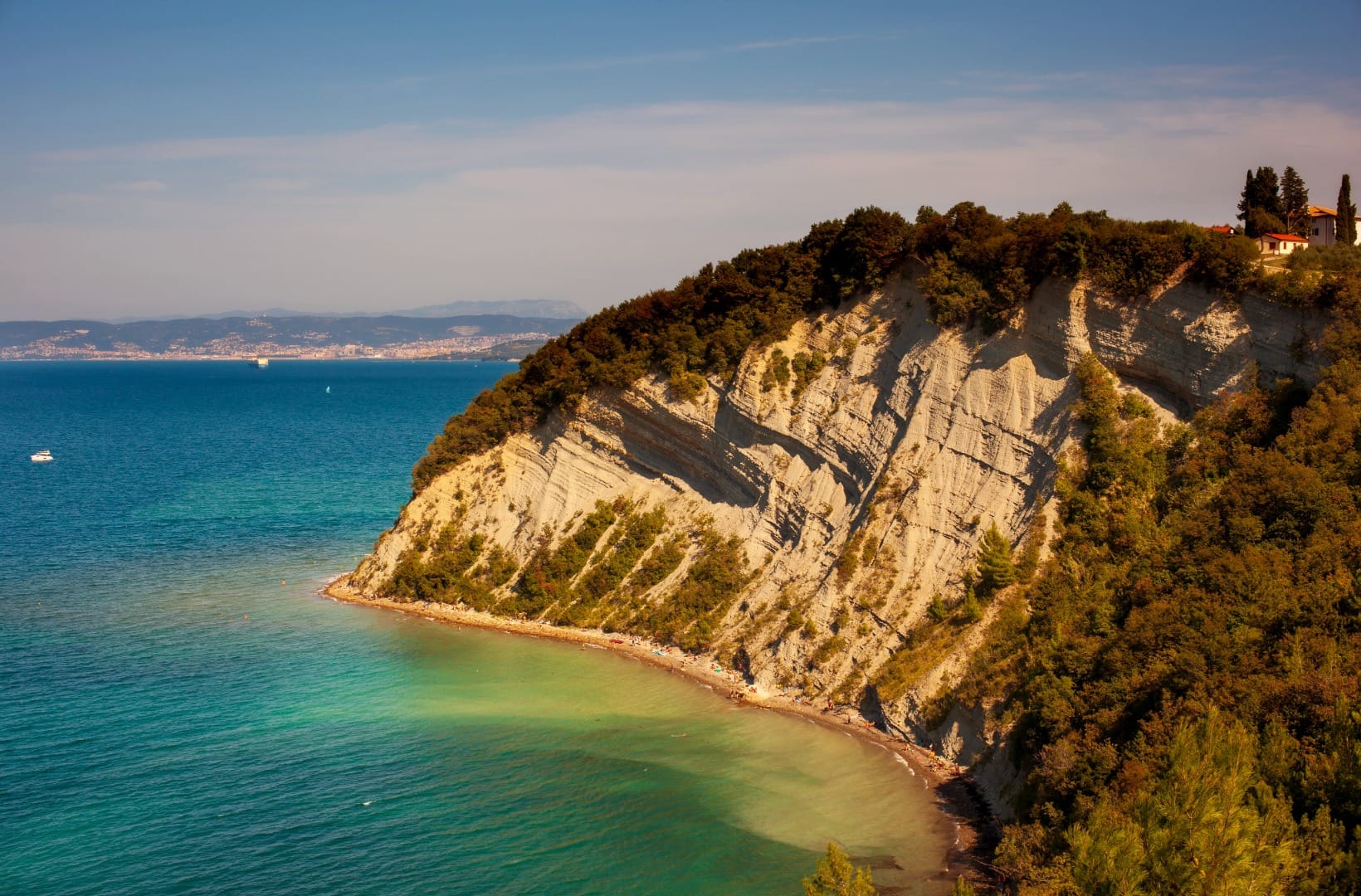
The path climbs slightly onto the hillside and threads the 244 m Šalet tunnel — this one is dim, so carry a small light and take your sunglasses off before you go in. Beyond it is the Strunjan peninsula: the Strunjan salt pans, the oldest still worked in the northern Adriatic and part of Strunjan Landscape Park, and directly above them the flysch cliff over Moon Bay (Mesečev zaliv). At about 80 m it is the highest cliff on the Adriatic coast. Ten minutes on foot from the trail gets you to the cliff-top viewpoint, and it is the single best stop on the route.
4) The Valeta tunnel and Portorož (21–24 km)
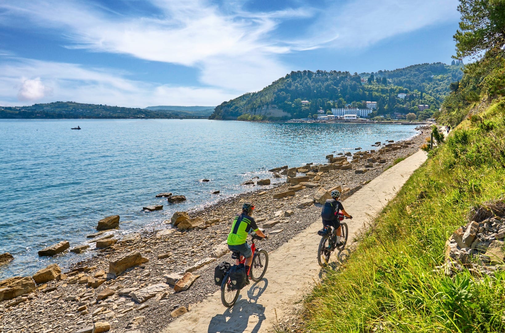
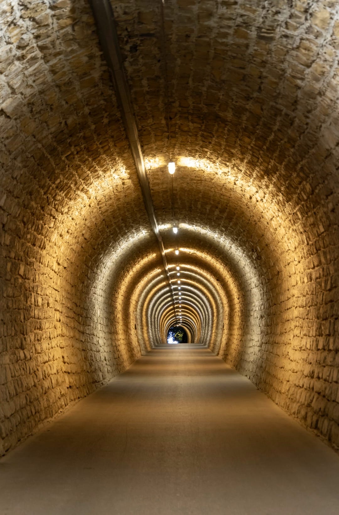
The 550 m Valeta tunnel cuts through the ridge between Strunjan and Portorož. It is brick-lined, lit all year, and the most photographed spot on the Slovenian Parenzana. You come out on the hillside above Portorož; the railbed stays up there, so reaching the Portorož seafront, the marina or Piran means dropping down on a spur and climbing back. This is the busiest, most built-up part of the ride — expect crowds on the promenade in season.
5) Portorož to the Sečovlje salt pans (24–32 km)
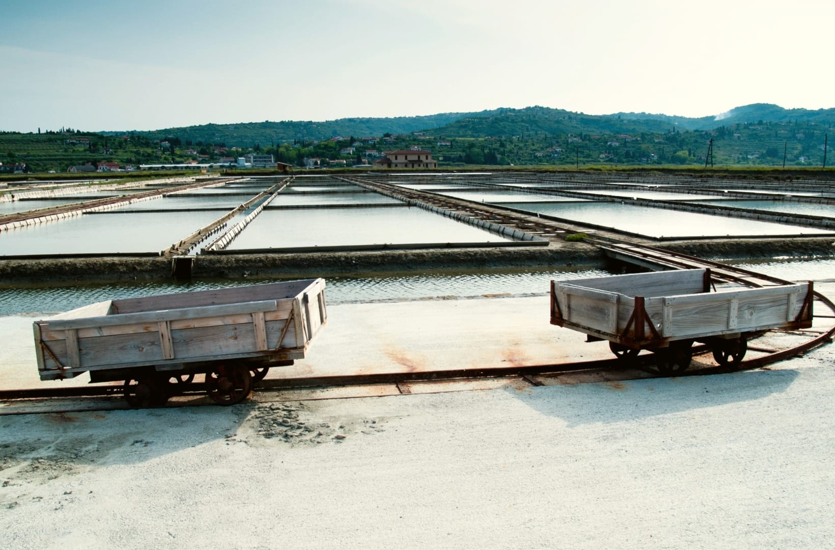
The last section runs through Lucija, around the marina, past Seča and out onto the flat delta of the Dragonja river to the Sečovlje Salina Nature Park entrance at Lera, hard against the Croatian border. The trail up to the entrance is free; to ride or walk among the working pans you pay park admission (€7 for adults, 1 April–31 October — check current prices at the official Sečovlje Salina site). The delta is the most wind-exposed point on the route, so if the burja is up you will feel it here.
Side trip: Piran
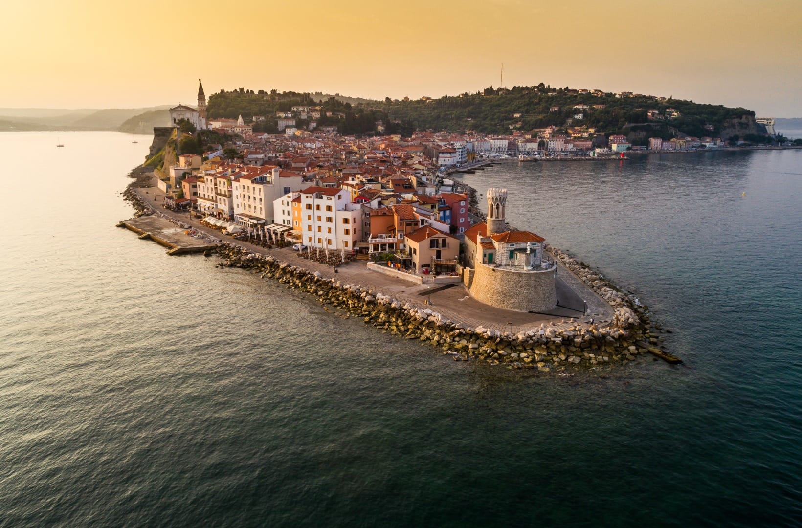
From around Portorož or Lucija it is a flat 4 km round trip off the main line into Piran — Tartini Square and the Punta lighthouse out on the tip of the peninsula. If you are riding one-way and catching a bus back, Piran is also the most useful place to end.
Map
The map shows the full 32 km from Škofije on the Italian border, via Koper, Izola, the Strunjan peninsula and the Valeta tunnel, to the Sečovlje Salina Nature Park on the Croatian border. Ride it back to return, or take a bus from Lucija or Piran.
Best time
When to ride it
- April–June and September–October: mild, quieter, and the salt harvest is visible in late summer and early autumn.
- Avoid midday in July and August: no shade, hot asphalt, and resort crowds on the promenade — start by 8–9am or ride in the evening.
- Watch the wind: the burja can blow hard along this coast in any season, worst from late autumn to early spring. A northeasterly headwind makes the Dragonja delta near Sečovlje a slog.
Safety & warnings
The real risk
Around Izola, Portorož and Lucija the trail is busy with walkers, children and rental e-bikes. Slow down; this is where incidents happen.
Before you set off
- Tunnels: Valeta (550 m) is lit year-round; Šalet (244 m) is dim — carry a small light and let your eyes adjust before you enter.
- Border: the trail ends at the Slovenia–Croatia border at Sečovlje. Continuing toward Buje or Grožnjan means carrying ID and switching to a hillier, separate route.
- Water: there is little shade and few fountains between Strunjan and Sečovlje — fill up in Portorož or Lucija.
Shortened version from Koper
To skip the industrial opening, start at Koper’s marina instead of Škofije. Koper to Sečovlje is about 24 km one-way with roughly 20 m of climbing, and nearly every kilometre of it is on or beside the sea. This is the version to ride with children.
Logistics
By car
Park at one end and ride to the other. Škofije has a small lot near the old station; Portorož, Lucija and the Sečovlje Salina all have paid parking. Leaving a car in Koper and starting there is the simplest one-way setup.
Public transport
Arriva runs local buses along the coast between Koper, Izola, Lucija and Piran roughly every 20 minutes, about €3–4, and around 45 minutes end to end (check the Arriva timetable). Bikes are not guaranteed on these buses, so the realistic options are to ride back — it is flat — or to arrange a bike-taxi shuttle, which several Parenzana operators run.
Renting a car or bike for the coast
Reaching Škofije, moving between the trailheads, and doing the ride one-way are all easier with your own transport. E-bikes and hybrids are for hire in Portorož, Koper and Izola, and most rental shops know the Parenzana well.
Search rental cars — Slovenia & Koper
Author note: if you would rather not backtrack the full 32 km, a car left in Koper and a bus back from Lucija or Piran is the cleanest one-way plan.
How this trail fits into routes
The Parenzana is the coastal counterpart to the one other route in this section, the Bled–Bohinj Cycling Trail in the Alps — both are flat, largely car-free rides that follow an old railway line.
- The same coast on foot: Piran & Coastal Walks is the walking version of the Strunjan–Piran cliffs, and Strunjan & Piran Cliffs – Moon Bay covers the cliff over Moon Bay in detail.
- The salt pans and the Dragonja: Sečovlje Salt Pans, Dragonja Valley & Istrian Hill Villages goes deeper into the area around the finish.
- A different day from the same base: Karst Villages, Wine Cellars & Prosciutto trades the coast for the inland Karst.
- Where to stay and read more: the Piran city guide, the Koper city guide, and the Coast & Karst regional overview.
FAQ
Is the Parenzana paved the whole way in Slovenia?
Mostly. It is asphalt with sections of compacted, well-graded gravel — fine for a hybrid, gravel bike or e-bike, and rideable on a touring bike. It is not a route for narrow road tyres.
Can I ride it with children?
Yes, especially the shortened Koper–Sečovlje version. On the full route the only real hazard is the crowded shared path around the resorts, not the terrain.
How do I get back to the start?
Ride back — it is flat, and the full round trip is about 64 km — or take an Arriva bus from Lucija or Piran toward Koper, keeping in mind that bikes are not guaranteed on board. Some Parenzana operators run bike-taxi shuttles.
Do I have to pay to see the salt pans?
The trail as far as the park entrance at Lera is free. To go in among the working pans you pay admission to the Sečovlje Salina Nature Park (€7 for adults, April–October). Prices and opening hours are on the official park site.
Can I continue into Croatia?
Yes. The Parenzana carries on from Sečovlje toward Buje, Grožnjan and Poreč — carry ID, and expect a hillier ride on the Croatian side.
Are the tunnels lit?
The Valeta tunnel (550 m) is lit all year. The Šalet tunnel (244 m) is not reliably lit — bring a small light.
Conclusion
The Parenzana is the easiest genuinely scenic long ride in Slovenia: flat, car-free for most of its length, and finished with a working salt marsh and a medieval town on a spit. Start early, start in Koper if the industrial edge does not appeal, and treat the Valeta tunnel and the cliff over Moon Bay as the two stops you would make even in a hurry.