
Vipava Valley by Bike: The Branica Valley Loop
Coast & Karst
Where to base yourself
Search places to stay near here and book directly on Booking.com.
Find a place to stayVipava Valley by Bike: The Branica Valley Loop
Quick Overview – Vipava Valley, the Branica Valley Loop
The longest ride on this site and the one local recreational cyclists do most: a 47 km loop from Vipava through vineyards and orchards, out to the edge of the valley near Dornberk, back through the quiet Branica Valley, and over one real climb near the wine village of Goče. Mostly rolling, mostly paved, and completely at the mercy of the burja wind.
- Type: valley loop on quiet lanes, regional roads and some farm track (Vipava Valley, official “Branica Valley” route)
- Region: Coast & Karst (Vipava, Vipavski Križ, Dornberk, Branica Valley, Goče)
- Works well with: a hybrid or gravel bike, most of a day, a cellar visit in Goče, and no strong wind in the forecast
Trail stats
- Distance: 47 km loop from Vipava, via Ajdovščina, Dornberk, the Branica Valley and Goče
- Elevation gain: ~540 m over the loop — rolling, with one sustained climb toward Goče near the end
- Time: 3–4 hours of riding; most of a day with stops
- Difficulty: Moderate. No steep or long climbs, but it is a real distance, the Goče climb comes when you are already tired, and the wind can turn any of it hard
What to expect
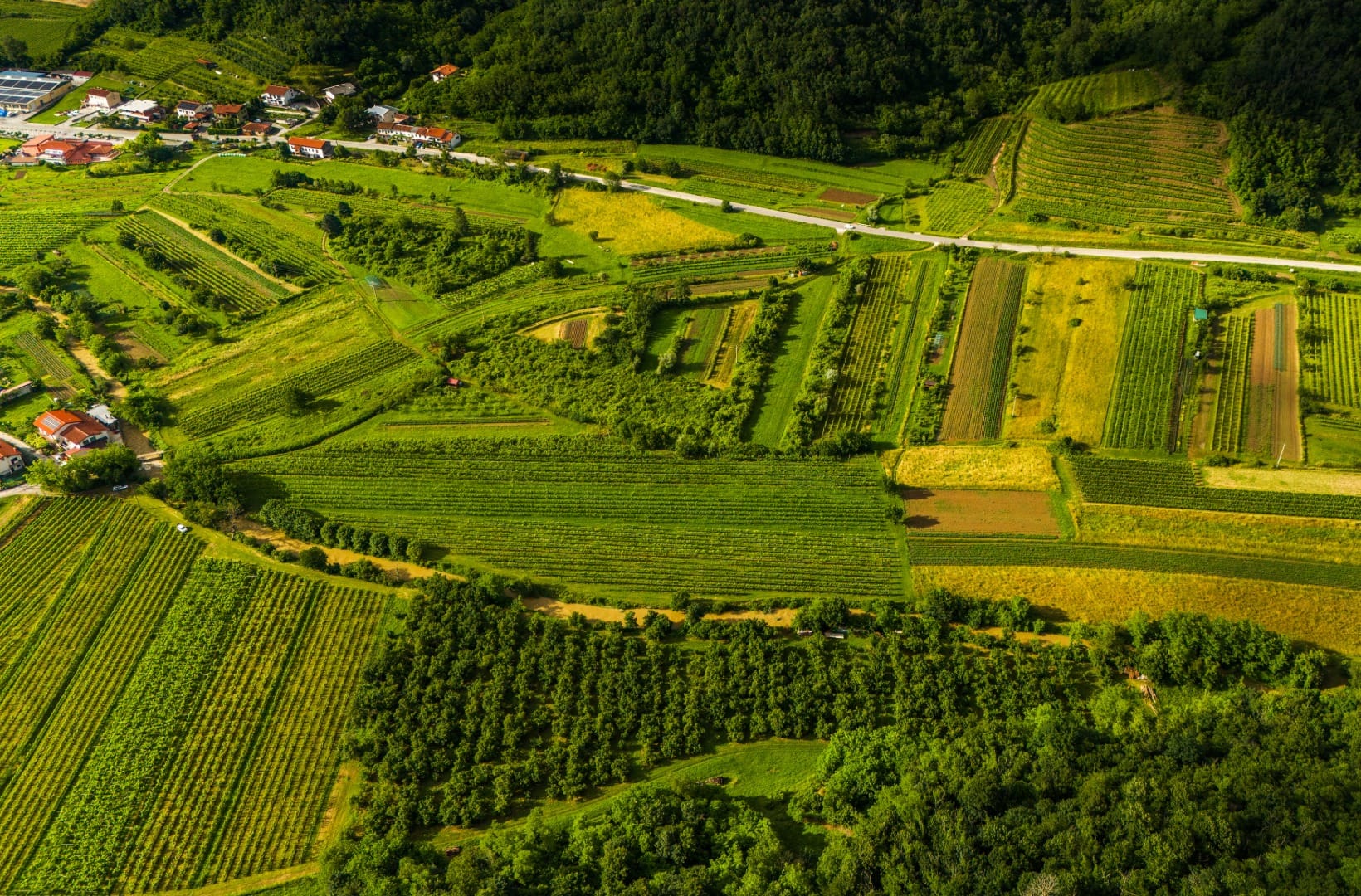
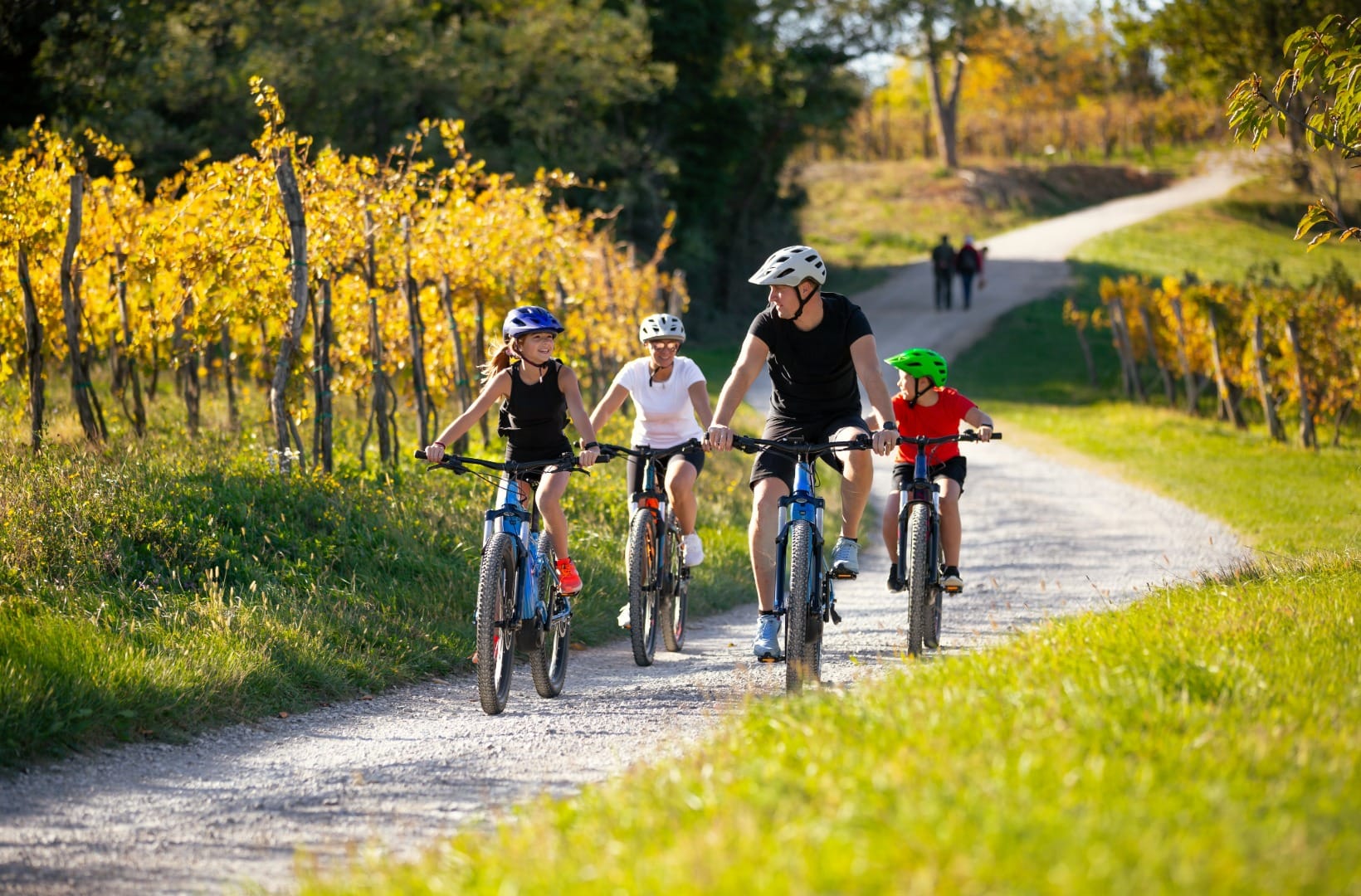
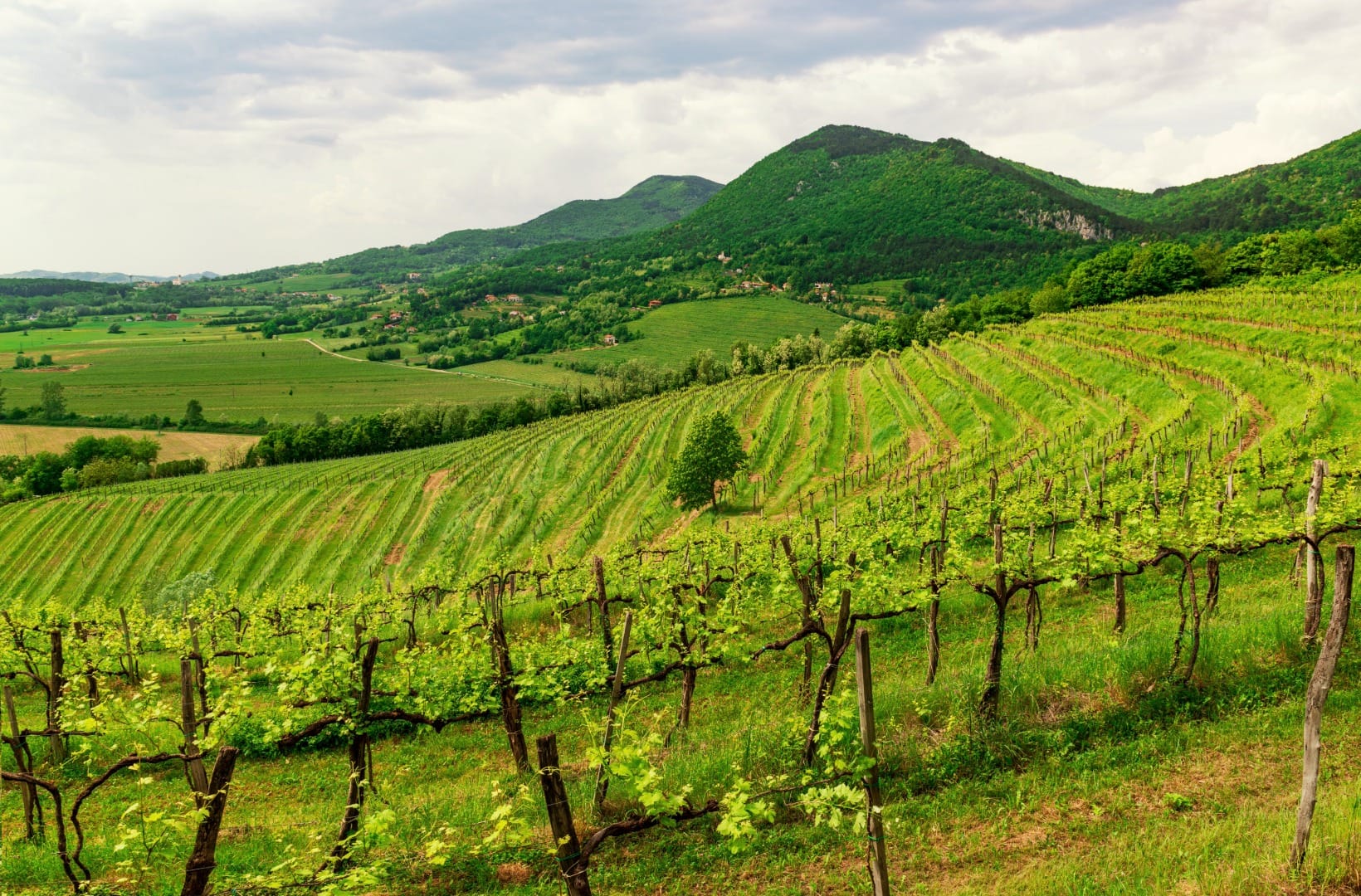
This is the route the Vipava Valley tourist board publishes as “The Branica Valley”, and the one you will see local riders on at weekends. It is not a single quiet path — it strings together village lanes, a stretch of regional road along the north side of the valley, the genuinely calm Branica Valley, and a climb through vineyards past Goče. The reward is the landscape: this is Slovenia’s warmest wine country, a patchwork of vines, orchards and stone villages under the Nanos cliff, and 47 km is enough to ride through most of it.
The honest points: 47 km is a real day, longer than anything else in this section. Only the Branica Valley part is truly traffic-light; the north-side road carries cars, and the valley floor is exposed. The Goče climb — about 150 m of ascent in the last third — is short but arrives late. And the surface is a mix: mostly asphalt lanes, with some gravel and farm track through the Branica Valley, so tyres wider than a race bike’s help.
Route in detail
1) Vipava and the north edge (0–12 km)
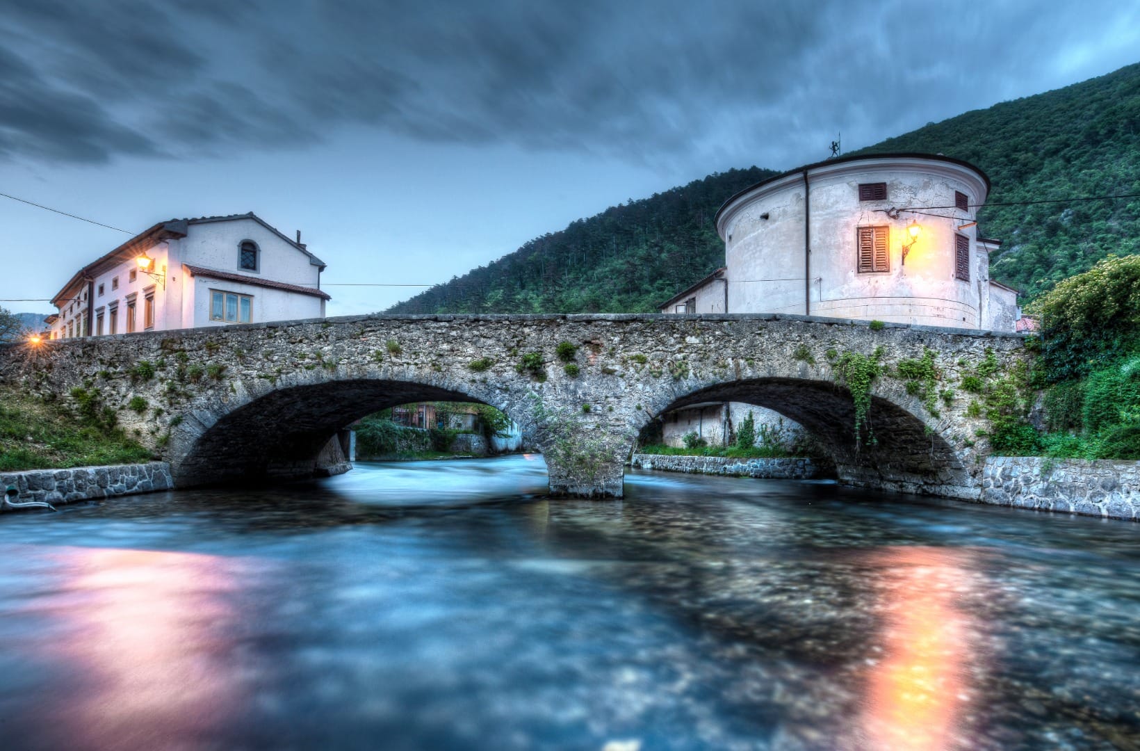
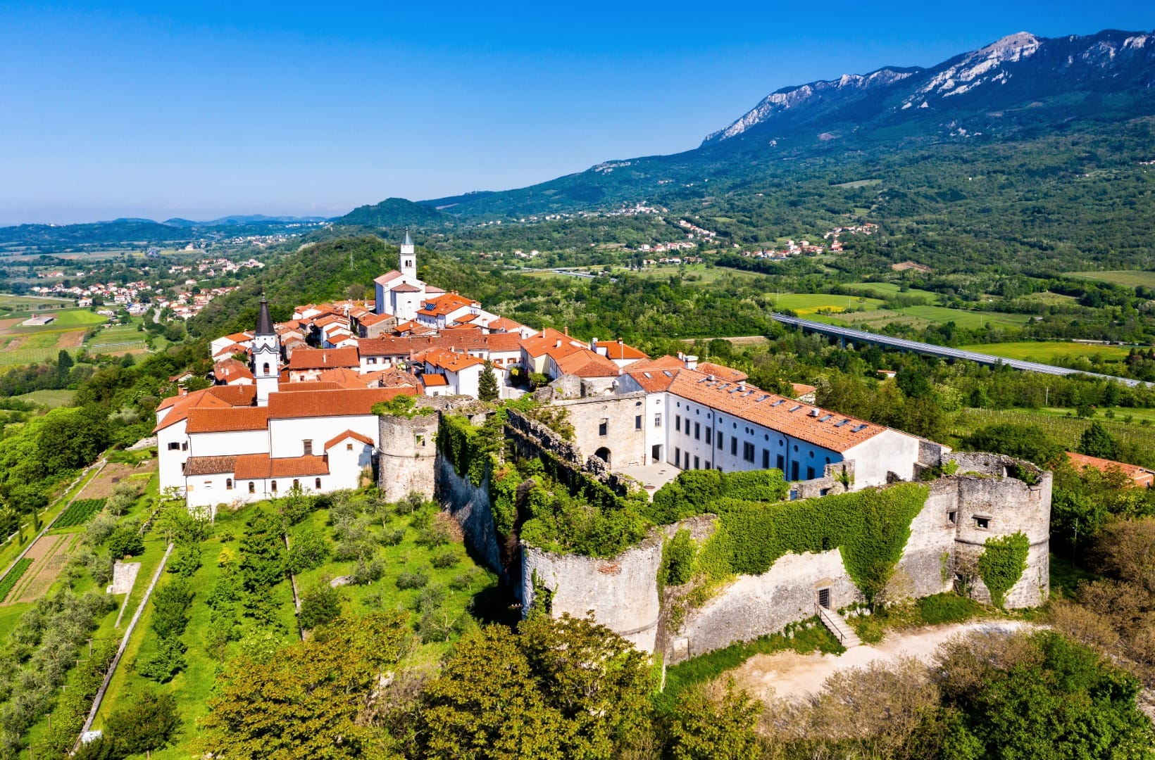
Start in the old centre of Vipava, by the baroque Lanthieri mansion. Vipava is built on the only delta-shaped river source in Europe — the Vipava river comes straight out of the karst in several springs below Nanos — which is why the town is full of little bridges. The route leaves west along the valley floor and through Ajdovščina, the valley’s main town. On its hill just to the south sits Vipavski Križ, a walled medieval village with a Capuchin monastery inside and a view over the whole valley — about a kilometre off the route.
2) To Dornberk and the valley floor (12–23 km)
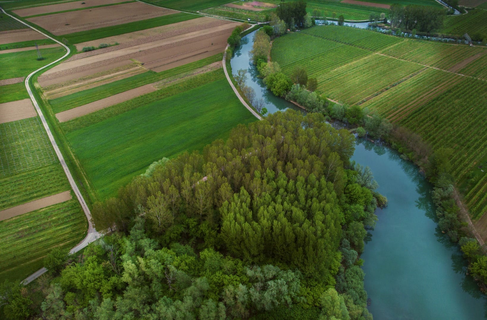
The route works northwest through Gojače and Prvačina toward Dornberk, the low point of the loop at around 50 m, near the Italian border. This is the most open, most exposed stretch — flat and fast with no wind, a slog with it. The Vipava river meanders through fields and poplar stands beside you.
3) The Branica Valley (23–36 km)
South of Dornberk the loop turns up into the Branica Valley, and this is the part everyone comes for: a side valley with a handful of villages, almost no through traffic, and a road that rolls gently up between wooded hills and small vineyards. It is the quietest 13 km of the ride.
4) The climb toward Goče (36–41 km)
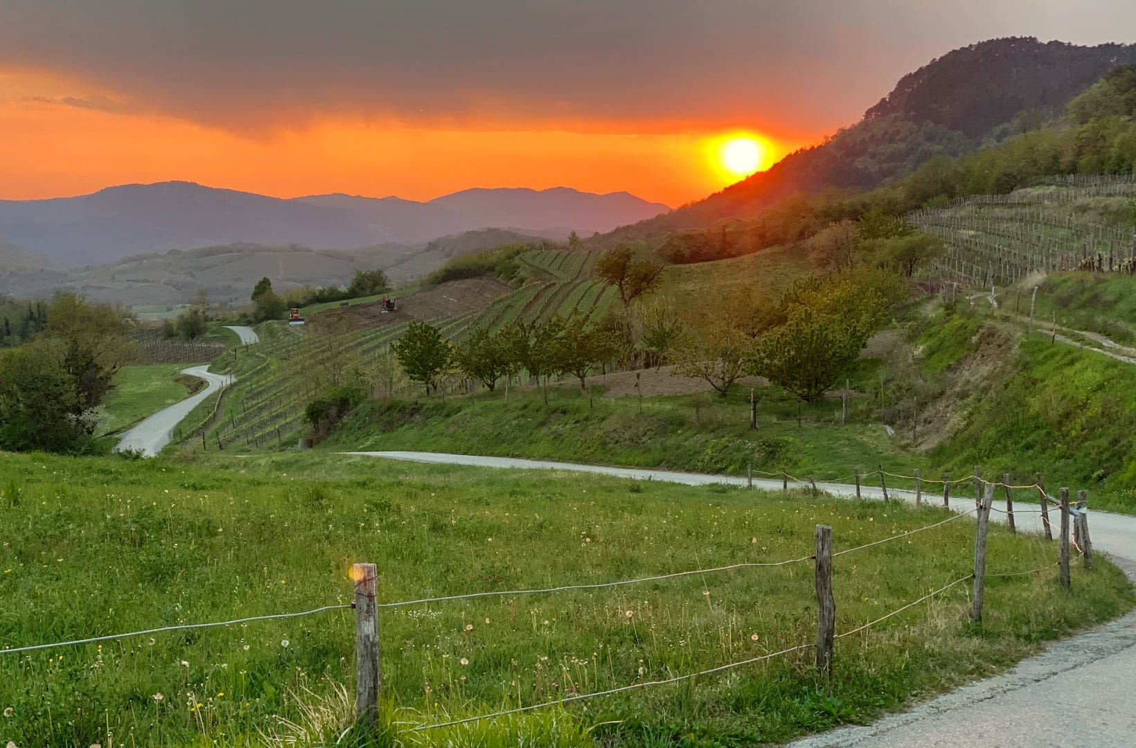
Near the head of the Branica Valley the route climbs — roughly 150 m over about 5 km, with pitches around 6% — up onto the vineyard terraces on the south side of the valley, past Erzelj and the turnoff for Goče. It is the only real effort on the loop, and it comes at km 36, so pace the first two-thirds accordingly.
5) Past Goče, and back to Vipava (41–47 km)
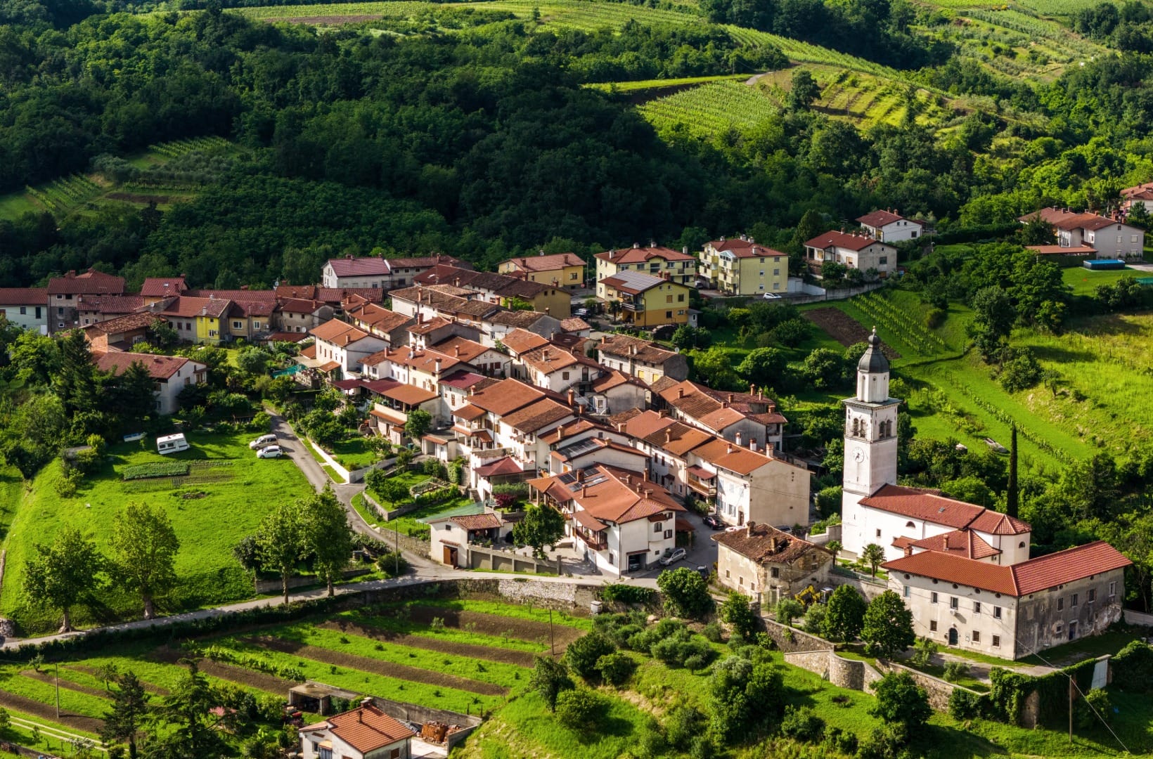
The loop passes the turnoff for Goče rather than the village itself, which sits about a kilometre off the route and a short climb in. It is worth the detour: Goče is a stone village with 14th-century roots that grew into a wine hub — by the end of the 1800s it had more cellars than houses, and around sixty of the old stone cellars survive, some still without electric light. From the turnoff the route drops back down through Erzelj and Slap to Vipava to close the loop.
Map
The map shows the 47 km loop from Vipava: west through Ajdovščina, out to Dornberk, back up the Branica Valley, and past the Goče turnoff before the descent to Vipava.
Best time
When to ride it
- May–June: green vines, orchards in leaf, long light, and the burja usually past its winter worst.
- September–October: harvest in the vineyards, warm days, and Goče’s cellars at their busiest — the best time to plan a stop.
- Avoid high summer middays: the valley is genuinely hot and the vineyard lanes have no shade — ride early or in the evening.
Safety & warnings
Do not ride on a burja day
The burja is the single real hazard here. A strong northeasterly can push a cyclist across the road on the exposed north-side and valley-floor sections. Check the forecast; if it is up, ride the sheltered Branica Valley only, or come another day.
Before you set off
- Regional road: the north-side stretch between Vipava and Prvačina shares a road with cars — quiet by valley standards, but not car-free.
- Distance and the late climb: 47 km with the Goče climb at km 36 catches out riders who go hard early. Carry food and water; there is little between the villages.
- Heat: almost no shade on the vineyard lanes. In July and August, start by 8am.
Logistics
By car
Vipava has free and paid parking near the centre; the loop starts and ends there, so a car at Vipava is the simplest setup. The valley is 40 minutes from Ljubljana and 25 from the Italian border.
Public transport
Buses run from Ljubljana to Ajdovščina and Vipava, and there is a rail line through the valley (Nova Gorica–Sežana) with stops at Prvačina and Dornberk. Bikes on regional buses are not guaranteed, so plan around the train or ride from your base.
Renting a car for the region
The Vipava Valley pairs naturally with the Karst — Štanjel, the Škocjan Caves, Sežana — and with the coast an hour away. A car makes those days join up where the buses do not.
Search rental cars — Slovenia & the Vipava Valley
Author note: if 47 km is more than you want, ride Vipava–Goče turnoff–Branica Valley and back the same way — about 30 km, and it keeps the best parts.
How this trail fits into routes
This is the flat-country counterpart to the Bled–Bohinj Cycling Trail and the Drava Cycle Route, and a gentler alternative to the gravel of the Soča Valley ride next door — same idea of covering a whole valley by bike, here through wine country.
- The same valley, slower: Vipava Valley wine villages and farm kitchens is the food-and-wine day, and Vipava Valley wine villages is the overview.
- The town at the top of the valley: the Ajdovščina city guide.
- The wall above it: the Nanos plateau, the cliff that makes the burja.
- Next door, on the Karst: Karst villages, wine cellars and prosciutto, and the wider Coast & Karst region.
FAQ
How hard is this ride?
Moderate. There are no steep or long climbs — the hardest part is about 150 m of ascent toward Goče at km 36 — but 47 km is a real distance, and the wind can make any section hard. Fit recreational cyclists do it comfortably in a morning.
Is it really car-free?
Only the Branica Valley section, roughly 13 km, is genuinely quiet. The north side between Vipava and Prvačina uses a regional road with traffic.
What is the burja and does it matter?
It is a cold, gusty northeasterly wind that drops off the Nanos cliff into the valley. On a strong day it can blow a cyclist sideways on the exposed sections. Check the forecast; on a burja day, ride only the sheltered Branica Valley or postpone.
Can I shorten it?
Yes. Ride Vipava to the Goče turnoff and into the Branica Valley, then return the same way — about 30 km, and it keeps the wine villages and the quietest road while skipping the exposed valley floor.
Should I stop in Goče?
If you can time it for autumn, yes — the stone cellars are the point of the village, and several families receive visitors. Otherwise it is still worth a slow ride through the lanes.
Conclusion
The Branica Valley loop is the Vipava Valley’s own ride: 47 km that locals treat as a standard weekend outing, through the warmest, most Mediterranean wine country in Slovenia. Watch the wind, pace yourself for the Goče climb, and build in time for a cellar — this is a route to ride slowly and finish with a glass.