
Soča Valley by Bike: Bovec to Kobarid
Alpine Slovenia
Where to base yourself
Search places to stay near here and book directly on Booking.com.
Find a place to staySoča Valley by Bike: Bovec to Kobarid
Quick Overview – Soča Valley, Bovec to Kobarid
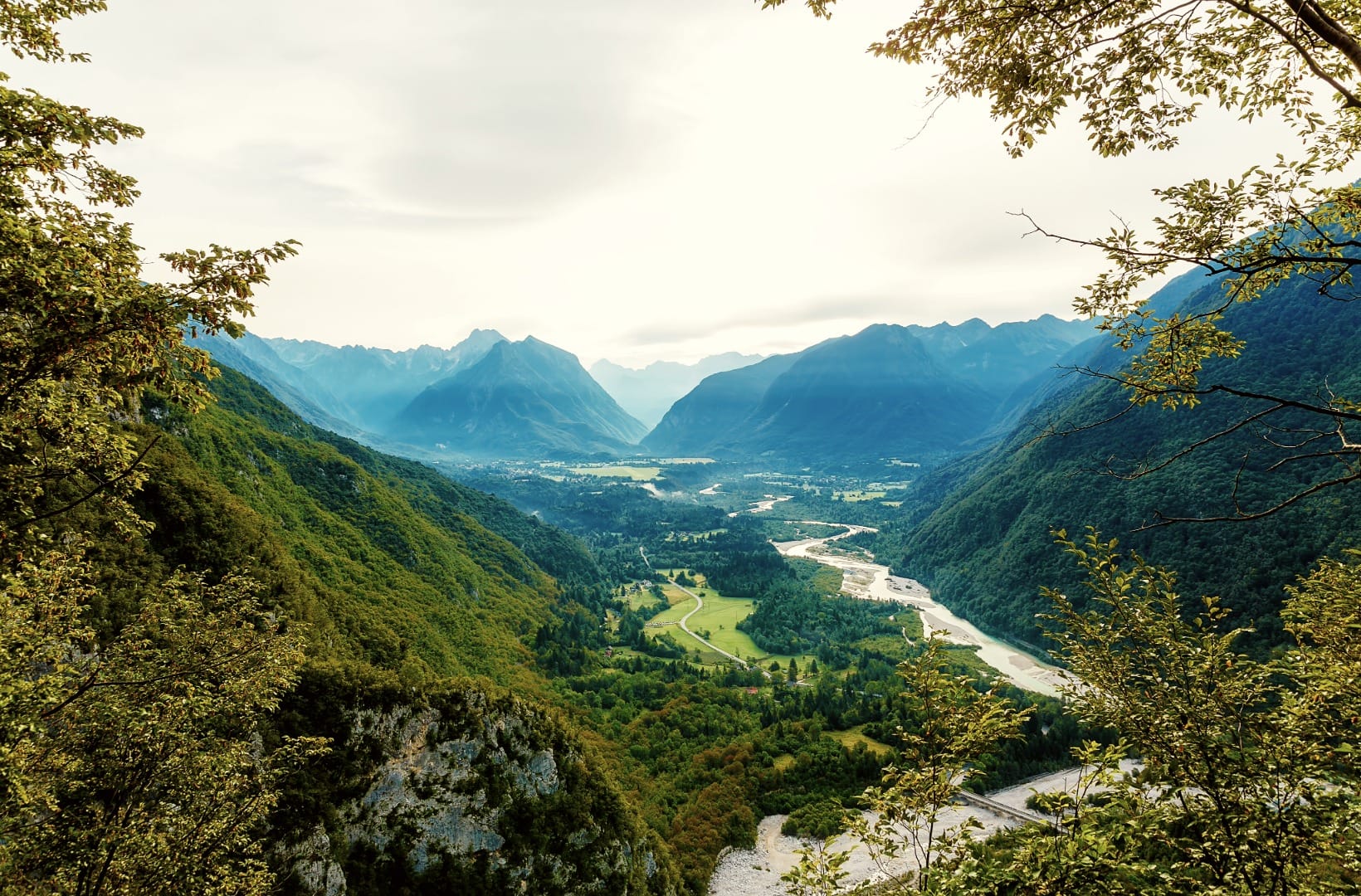
The scenic left-bank line down the upper Soča: 23 km from Bovec to Kobarid on a mix of quiet lanes and gravel cart tracks, past the Boka waterfall, over cable footbridges, and beside the clearest river in Slovenia. It is a net descent, so the effort is modest — the catch is the surface, and the fact that the easy direction only works one way.
- Type: gravel-and-lane valley route (upper Soča, left bank), part of the local “Emerald” cycling network
- Region: Alpine Slovenia (Bovec, Čezsoča, Trnovo ob Soči, Kobarid)
- Works well with: a gravel bike or e-MTB, a half day, the Kobarid Museum and the Napoleon Bridge at the finish, and a bus back
Trail stats
- Distance: 23 km one-way (Bovec to Kobarid), via Čezsoča, Log Čezsoški and Trnovo ob Soči
- Elevation gain: ~200 m of climbing against ~440 m of descent — it drops about 240 m net from Bovec to Kobarid
- Time: 2–3 hours one-way of riding; a half day with stops at Boka and in Kobarid
- Difficulty: Moderate. No hard climbs, but gravel cart tracks, a few loose or rooty sections, and narrow footbridges where you dismount and push
What to expect
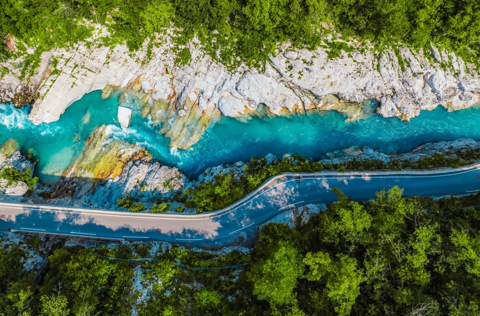
There are two ways to link Bovec and Kobarid by bike. The main road 203 is shorter and all tarmac, but it carries the valley’s summer traffic — rafting vans and campers. This route takes the other option: the marked left-bank line that trades the tarmac for gravel cart tracks and cable footbridges, and stays with the river instead of the road for most of its length.
The trade-offs are real. The gravel is well-graded in places and loose or rooty in others, so this is a gravel-bike or e-MTB ride, not one for 28 mm road tyres. The footbridges are narrow and bouncy — you get off and push, and in July and August you may queue. The whole valley is a summer adventure hub, so Čezsoča and the Napoleon Bridge at Kobarid get busy. And because the route loses 240 m net, the return leg by bike is a genuine climb — most people take the bus.
Route in detail
1) Bovec and Čezsoča (0–4 km)
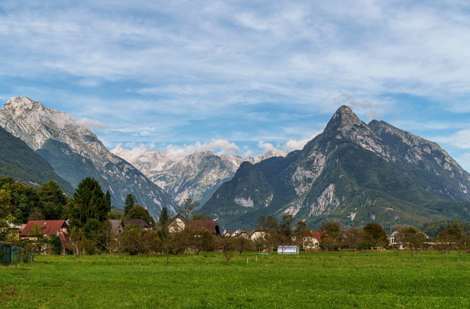
Start in Bovec, the outdoor capital of the upper valley, under Rombon and the pointed Svinjak. Drop south to cross the Soča and pick up the left-bank lane to Čezsoča (4 km), the first village — quiet tarmac, orchards, the river close on your right.
2) Log Čezsoški and the Boka waterfall (4–9 km)
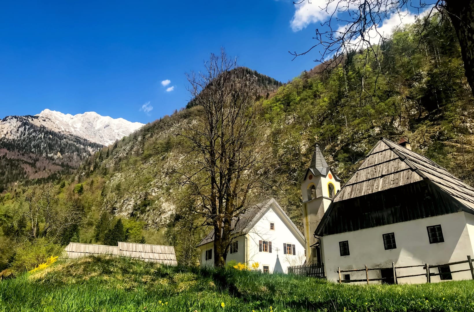
Past Čezsoča the route works west along the left bank toward Log Čezsoški. Across the river here is the Boka waterfall, the highest in Slovenia at 106 m — best in spring snowmelt, a thin ribbon by late summer. The viewpoint is a short walk from the road bridge; it is worth the stop even if you do not cross.
3) The gravel cart track to Trnovo (9–17 km)
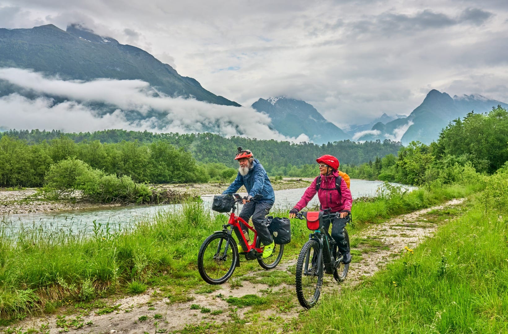
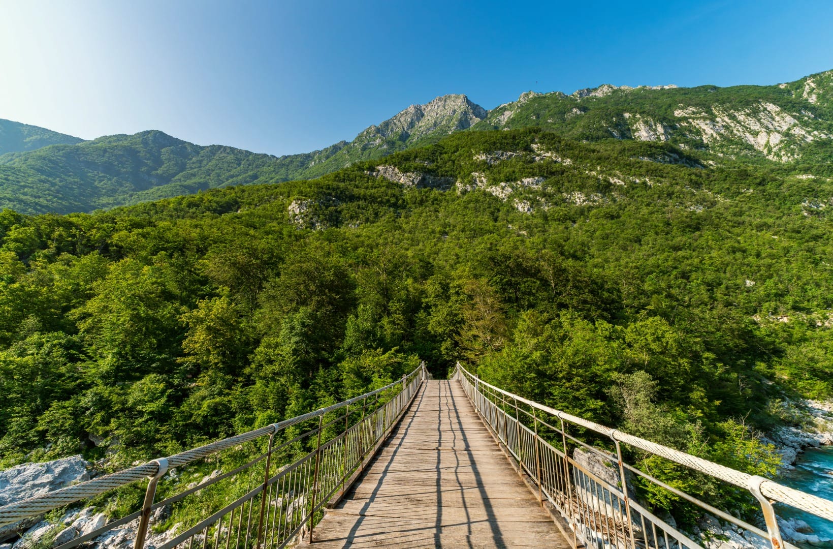
This is the core of the ride: a gravel cart track running along the left bank above the Soča, across open pasture and through pine, with the river in and out of sight below. You cross it once or twice on cable footbridges — dismount, push, enjoy the view straight down to the green water. The track undulates but never climbs hard, and it delivers you to Trnovo ob Soči (17 km).
4) Trnovo to Kobarid (17–23 km)
From Trnovo the route follows the valley floor through Kamno and Ladra — quiet lanes, hayfields, the Krn massif filling the sky to the east — and into Kobarid. Riders after more climbing can take the harder classic variant here, up to the village of Drežnica and down the far side, which adds roughly 350 m of ascent.
5) Kobarid (23 km)
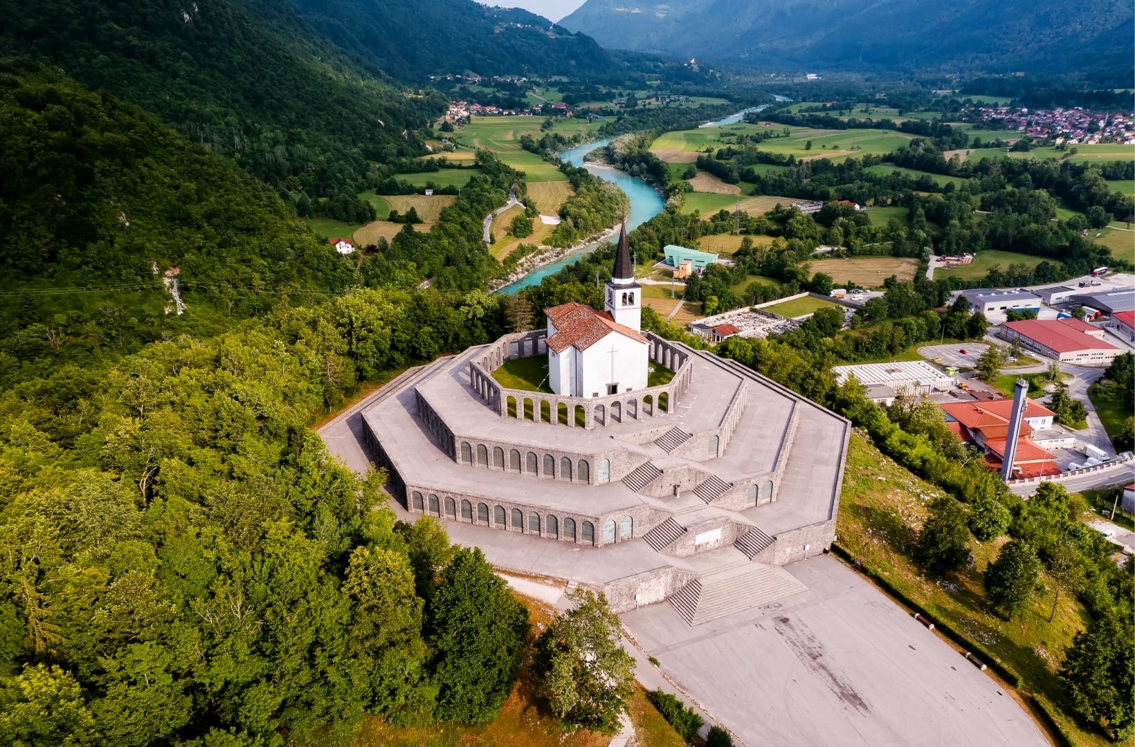
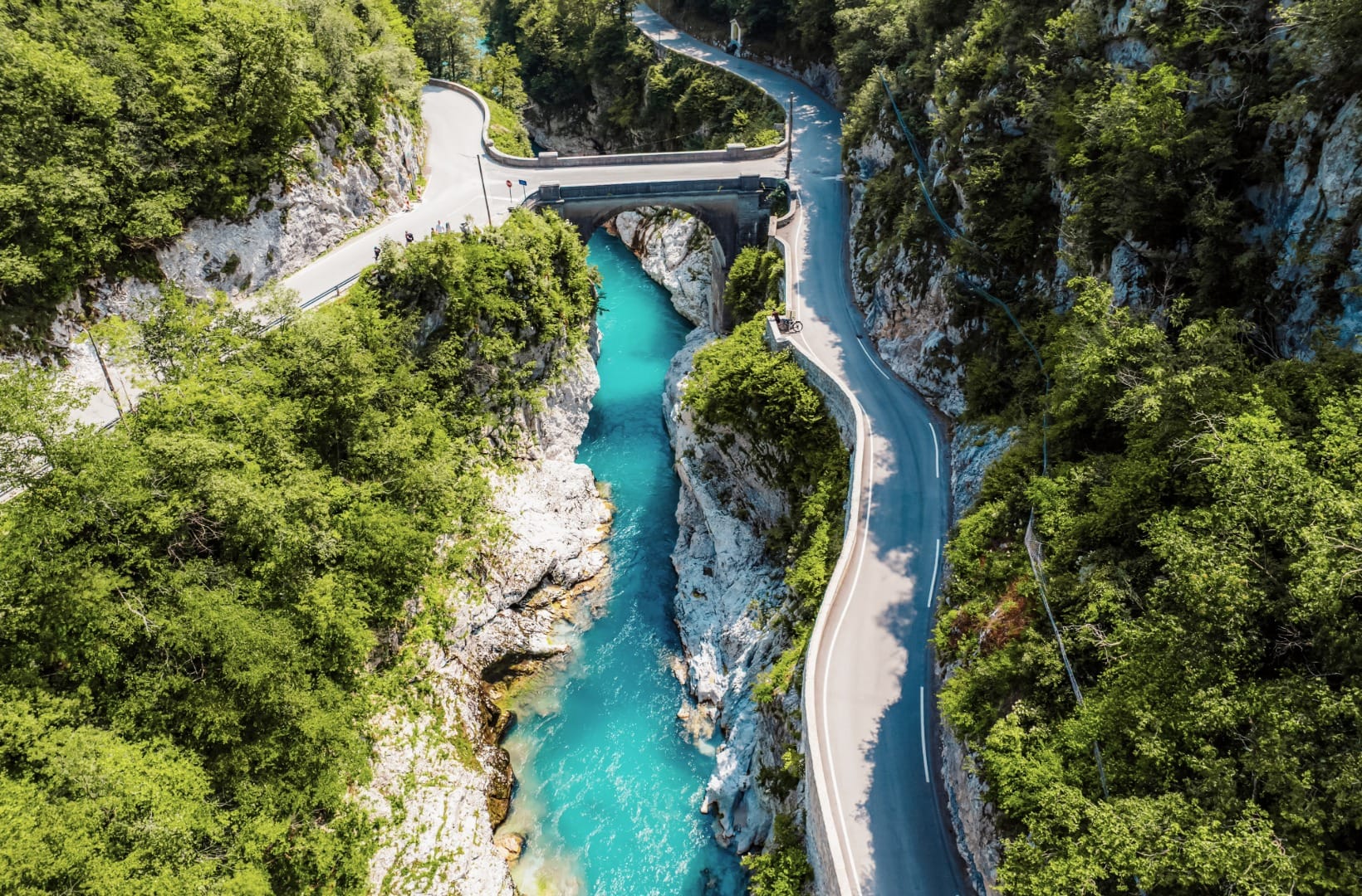
Kobarid is a small town with a large history: this was the Isonzo Front, and the Battle of Caporetto in 1917 broke the Italian line here. Three things sit within a short ride or walk of the centre — the Kobarid Museum, an award-winning First World War museum; the Napoleon Bridge, a stone arch leaping the Soča gorge below the town; and the Italian Charnel House on Gradič hill, an octagonal monument holding 7,014 Italian dead, opened by Mussolini in 1938. The Kozjak waterfall is a 30-minute walk in from the Napoleon Bridge.
Map
The map shows the 23 km from Bovec, along the left bank via Čezsoča, Log Čezsoški and Trnovo ob Soči, to Kobarid. Ride the road 203 back, or take the bus.
Best time
When to ride it
- Late May–June: full rivers, Boka at its loudest, green pasture, and the gravel firm and dry.
- September: the quietest good month — warm water, thin crowds, stable weather.
- Avoid July–August middays: the valley’s busiest window — book bikes ahead, start early, and expect a wait at the footbridges.
- Skip it right after heavy rain: the cart tracks turn greasy and the river is brown for a day or two.
Safety & warnings
The real risk
The Soča is cold and fast even in summer, with undercut rock. It is a river to look at from the bank, not to wade.
Before you set off
- Surface: real gravel and cart track, with loose and rooty sections. Ride a gravel bike or e-MTB with proper tyres, not a road bike.
- Footbridges: narrow, bouncy and often busy — dismount and push, and watch for oncoming walkers.
- One-way descent: the route loses 240 m to Kobarid. Plan the return — bus, shuttle, or the tarmac road 203 back — before you start.
Getting back
Nomago runs buses along the valley between Bovec, Kobarid and Tolmin, taking a bit over an hour end to end; bikes are carried when there is room, which in summer there often is not. In summer 2026 Kobarid also runs free local shuttles. The self-powered option is to ride the tarmac road 203 back to Bovec — about 21 km with the 240 m to climb back, busier with traffic, but quick.
Logistics
Public transport
Buses reach the valley from Ljubljana and from Italy (Gorizia), and the Nomago valley line links the three towns. It is realistic to base yourself in Bovec or Kobarid without a car and use the bus plus this ride, as long as you check the timetable for the bike-space situation.
By car
Both Bovec and Kobarid have paid parking. Leave the car in Kobarid, take the morning bus up to Bovec, and ride back down — that way the bus ride is the uphill and the bike is all descent.
Renting a car for the valley
The Soča valley is spread out and the buses are sparse. If you are combining this ride with the Vršič pass, Tolmin or the Kanin cable car, a car makes the days join up.
Search rental cars — Slovenia & the Soča valley
Author note: if you only do one thing with wheels here, make it this ride one-way with the bus back up — the road-203 return is the dull part.
How this trail fits into routes
This is the Alpine counterpart on this site to the flat Bled–Bohinj Cycling Trail and the Drava Cycle Route — same idea of linking two towns along a river, but on gravel and beside the brightest water in the country.
- On foot at each end: the Great Soča Gorge Trail near Bovec and the Kozjak Waterfall Loop from the Napoleon Bridge at Kobarid.
- The river itself: rafting and kayaking on the Soča is the valley’s other headline activity.
- WWI history: Javorca Church above Tolmin is the other memorial worth the detour, and the Soča Valley Highlights day continues the valley south.
- The region: the Alpine Slovenia overview for the wider Julian Alps.
FAQ
Can I do this on a road bike?
Not comfortably. The gravel cart tracks and loose sections want a gravel bike, a hardtail or an e-MTB. On a road bike you would be better off riding the tarmac road 203, which is the other Bovec–Kobarid option.
Is it suitable for children?
For confident older kids on the right bikes, yes — there are no hard climbs. The footbridges (push across) and the loose gravel are the things to judge against your group.
How do I get back to Bovec?
Nomago bus (bike space not guaranteed in summer), a Kobarid-area shuttle, or ride the tarmac road 203 back — about 21 km with the 240 m of descent reversed into a climb.
Is the Boka waterfall worth the detour?
In spring and early summer, very much so — it is Slovenia’s highest at 106 m and you hear it before you see it. By August it can be a trickle; check recent photos before you plan around it.
What is there to see in Kobarid?
The Kobarid Museum (WWI Isonzo Front), the Napoleon Bridge over the gorge, the Italian Charnel House on Gradič hill, and the Kozjak waterfall a short walk from the bridge. Half a day is easy to fill.
Conclusion
This is the ride that shows you why people talk about the Soča the way they do: 23 downhill-leaning kilometres of gravel and footbridges beside water the colour of antifreeze, finishing in a town where the First World War is still the main subject. Take a bike with real tyres, ride it one-way toward Kobarid, and let the bus do the climbing.