
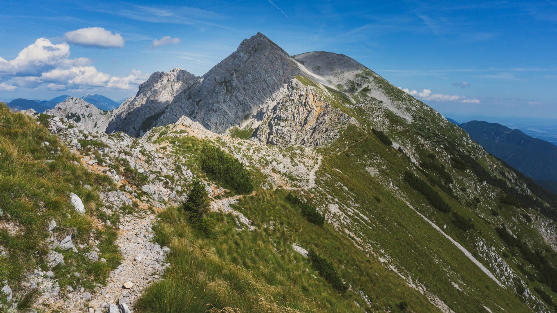
Stol via Žirovniška pot
Alpine Slovenia
Where to base yourself
Search places to stay near here and book directly on Booking.com.
Find a place to stayStol via Žirovniška pot
Quick Overview – Stol via Žirovniška pot
The highest peak of the Karavanke range, straddling the Slovenia–Austria border, climbed as a loop from a mountain hut you actually drive to. A real, serious mountain day, with a hut just below the summit that’s become a favourite for sunrise and sunset.
Trade-off: over 1,100 m of climbing on a long day, and the descent uses a different, steeper slope than the ascent — good for variety, but it demands careful footing when you’re already tired. We send people here when they want the highest point of an entire mountain range and are prepared to earn it, not when they want a moderate afternoon out.
- Type: hard mountain loop to the range’s highest summit
- Region: Alps (Karavanke, above Žirovnica)
- Works well with: a full day for fit hikers who want a genuine high-mountain objective
Trail stats
- Distance: ~9.6 km loop
- Elevation gain: 1,114 m
- Time: ~5–6 hours
- Difficulty: Hard (long, sustained climb; the western descent is steeper and rockier than the ascent — take care underfoot)
Slovenia Trip Starter Kit
Plan Slovenia without the usual route mistakes — a free, practical starter guide sent straight to your inbox.
Get the free guide →What to expect
Stol’s Slovene name — Veliki Stol, “great chair” — comes from its shape when seen from the east, and it earns the name: this is a proper, imposing mountain, the high point of a 120 km range that runs along the Austrian border. Doing it as a loop — up one way, down another — means you see far more of the mountain than a there-and-back route would show, at the cost of a steeper, rockier knee-test on the way down.
If this feels like too much, Golica, further along the same Karavanke range, is a shorter, though still serious, alternative.
Route in detail
1) Dom pod Stolom and the climb east
The approach itself is part of the day: a gravel road from the Žirovnica side climbs to the parking area at Dom pod Stolom (1,173 m). From there, follow the marked trail heading east — the signed junctions here point the way clearly, and the climb starts almost immediately.
2) The long ascent to the ridge
The trail settles into a long, sustained climb through forest and open slopes toward the Karavanke ridge, gaining most of the day’s elevation over this stretch before curving north toward the hut.
3) Prešernova koča and the summit
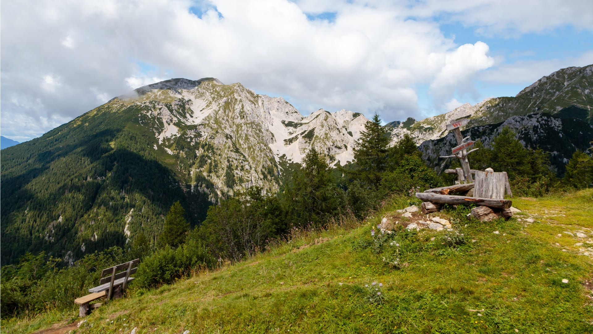
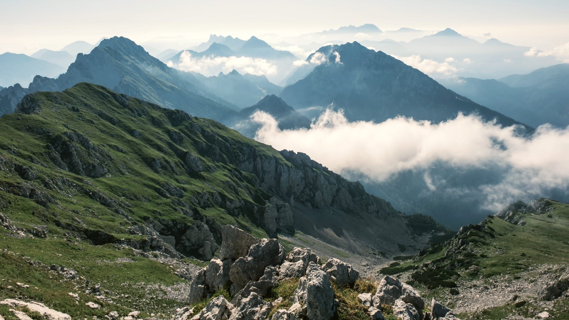
Prešernova koča na Stolu (2,172 m) sits just below the summit — open in summer, and increasingly popular with hikers timing their trip for sunrise or sunset. From here it’s a short final climb to Stol itself (2,236 m), with the view running the length of the Karavanke ridge and out across the Slovenian side toward the Julian Alps.
4) The steeper descent west
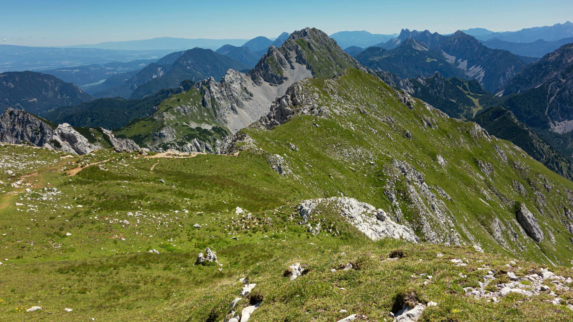
Rather than retracing the ascent, the loop turns west off the summit and drops down a noticeably steeper, rockier slope than the one you climbed. It’s a shorter, more direct line back down toward Dom pod Stolom — good knees and unhurried footing matter more here than on the way up.
Travel insurance
Standard policies often exclude hiking and mountain activities — worth checking your cover before a day like this.
Map
The map shows the loop from Dom pod Stolom, east and up to Prešernova koča and the Stol summit, then back down the steeper western slope to the start.
Best time
- Summer: the reliable window when Prešernova koča is open and snow is off the upper trail.
- Sunrise or sunset trips: genuinely worth the extra planning if you can time it — this ridge has become known for exactly that.
- Check the access road first: the gravel road to Dom pod Stolom can be in poor condition after storms.
Safety & warnings
- Length and elevation: 1,114 m of climbing over a long day — this is not a casual outing, even with the drivable approach to the trailhead.
- Steeper descent: the western slope down from the summit is rockier and steeper than the ascent — pace yourself and watch your footing, especially when tired.
- High-mountain weather: at 2,236 m, conditions can turn quickly — don’t linger on the exposed ridge if weather is building.
Logistics
By car
A car is essential here — the gravel approach road to Dom pod Stolom is not something you’d want to walk before even starting the real climb.
Public transport
There’s no practical public transport option to Dom pod Stolom — this trail requires a car.
Renting a car for trail days
Many of the trails on our portal are realistically done by car: early starts, flexible returns and last-mile forest or valley access are hard to match with buses.
Search rental cars — Slovenia & Ljubljana Airport
Author note: a standard car handles the gravel road to Dom pod Stolom fine in dry conditions — just drive it slowly.
How this trail fits into routes
Stol is the serious objective for hikers who want to say they’ve stood on the highest point of the Karavanke, not just visited the range.
- Same range, shorter: Golica is a still-demanding but shorter alternative further along the Karavanke.
- Different region, comparable effort: Mount Krim from Iška vas is a similarly serious climb near Ljubljana.
Conclusion
Stol is for hikers who want a real mountain, not a walk with a view — the highest point of an entire range, reached the hard way even with a drivable approach road, and returned by a different, tougher path than the one that got you up. Time it for sunrise if you can, respect the elevation, and treat it as the full day it is.