
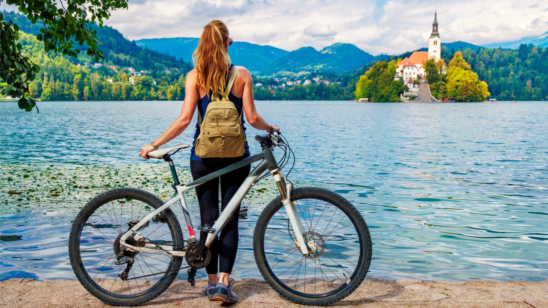
Bled–Bohinj Cycling Trail
Alpine Slovenia
Where to base yourself
Search places to stay near here and book directly on Booking.com.
Find a place to stayBled–Bohinj Cycling Trail
Quick Overview – Bled–Bohinj Cycling Trail
A brand-new paved cycling route connecting Slovenia’s two most famous lakes, mostly separated from road traffic and following the Sava Bohinjka river through the valley. This one is only weeks old — the official opening was 15 July 2026, at the twin bridge in Soteska.
- Type: valley cycling route linking Lake Bled and Lake Bohinj
- Region: Alps (Bled, Bohinjska Bistrica, Lake Bohinj)
- Works well with: a full day for anyone splitting time between Bled and Bohinj who wants to arrive under their own power
Trail stats
- Distance: 32.5 km one-way (Villa Prešeren to Ribčev Laz)
- Elevation gain: ~420 m one-way
- Time: ~2.5–3.5 hours one-way at a relaxed pace
- Difficulty: Moderate (mostly flat to rolling and largely traffic-free, but it’s a real distance for a day on a bike)
What to expect
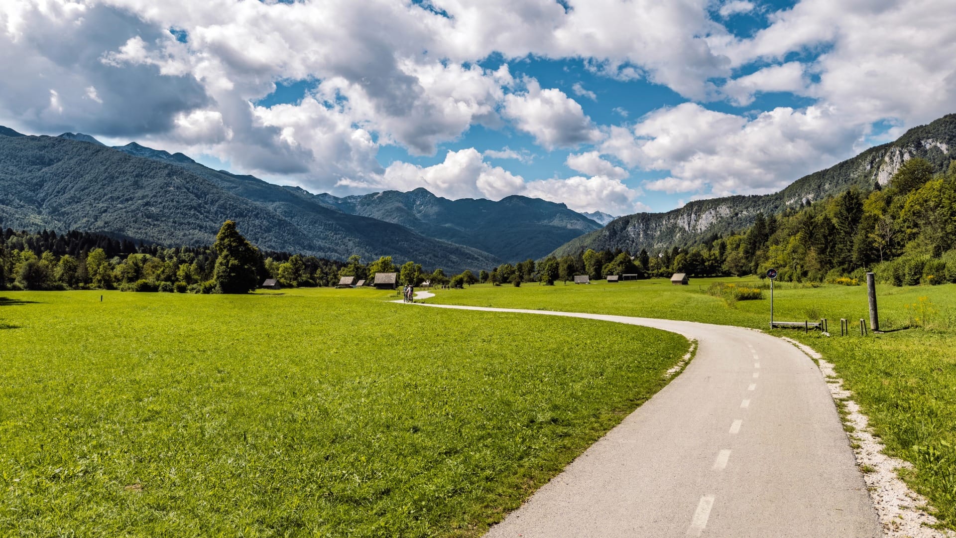
This is one of the few genuinely new pieces of cycling infrastructure in Slovenia, not a repurposed forest road or an old route we’re just now getting around to writing up. Most of it runs on its own paved surface, separate from cars, following the Sava Bohinjka river through the Bohinj valley — a corridor that used to belong to a narrow-gauge railway, which is part of why the gradient stays gentle for so much of the distance.
Being this new cuts both ways. The riding itself is excellent — smooth asphalt, real distance between you and traffic, a proper sense of covering ground between two lakes that most people only ever connect by car. But it also means the digital side hasn’t caught up: the path isn’t in OpenStreetMap yet, so route-planning tools like gpx.studio and most GPS apps won’t show it, and mapping it accurately currently means either riding it and recording your own track or leaning on recent rider-uploaded data on Strava or Komoot.
Route in detail
1) Villa Prešeren and the Lake Bled shoreline
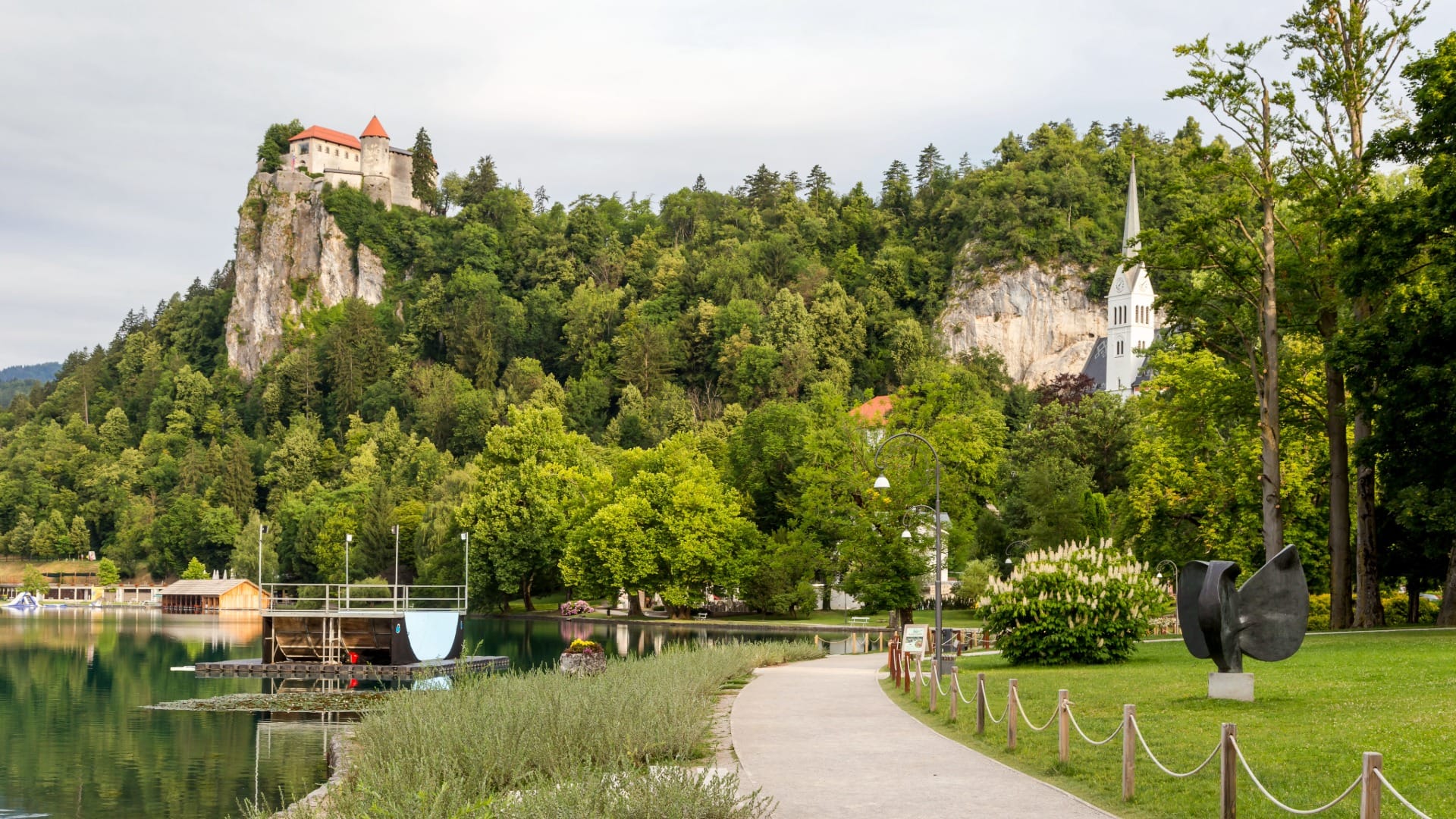
Start at Villa Prešeren on the eastern shore of Lake Bled and follow the lakeside path west, with the island church and Bled Castle in view for most of this opening stretch before the route turns to leave the lake behind.
2) Velika Zaka to Bohinjska Bela
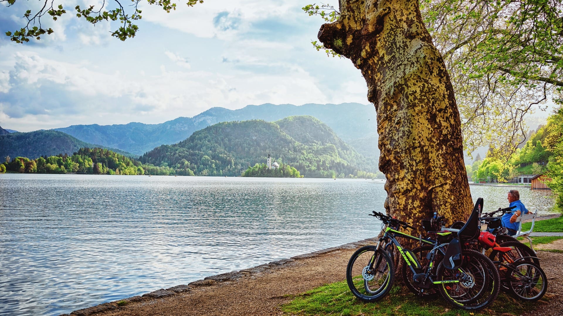
The path climbs gently away from Bled toward Velika Zaka (2.6 km in) and on to Bohinjska Bela (7.3 km in), the first proper village on the route.
3) Down the Bohinj valley
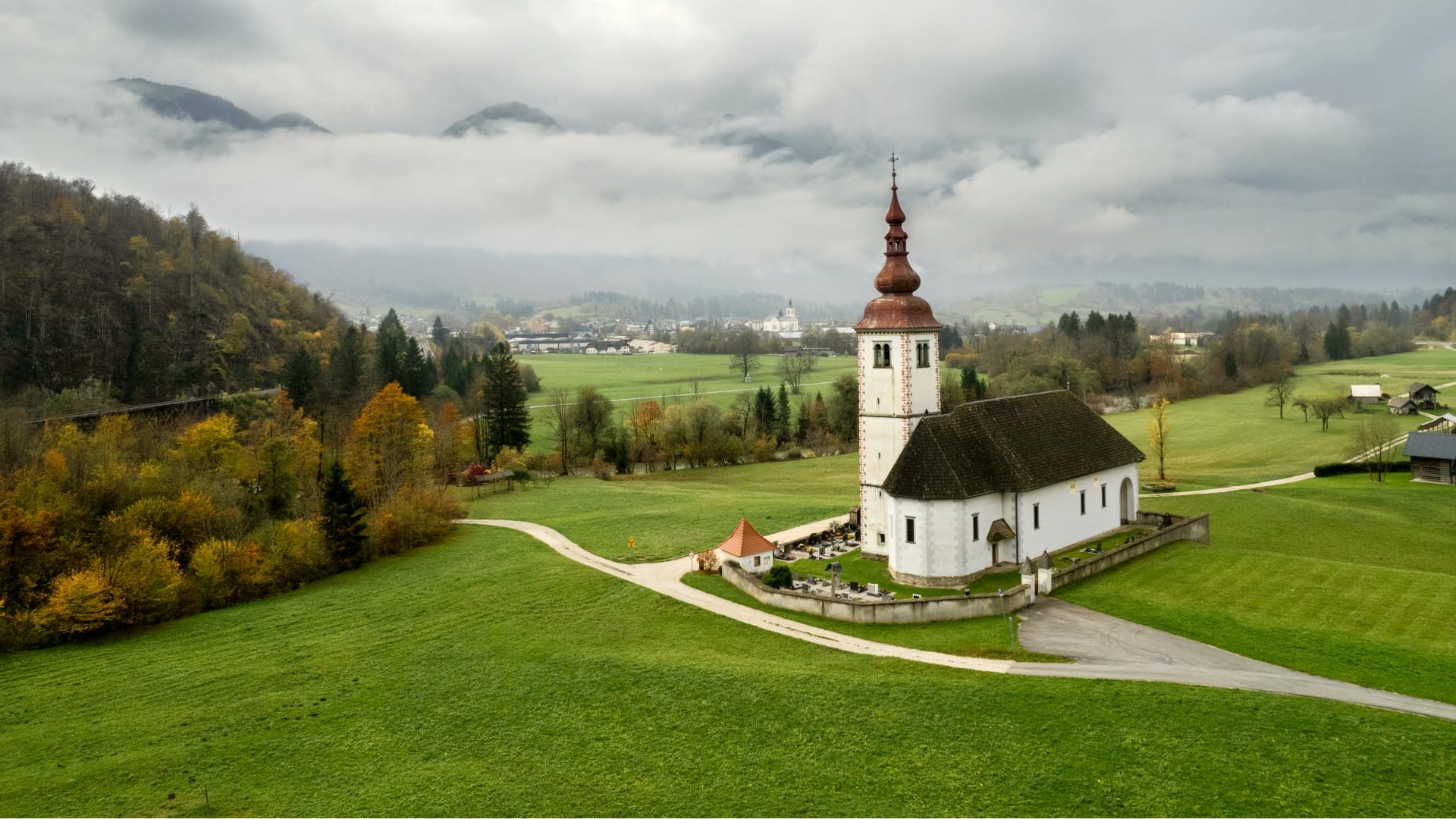
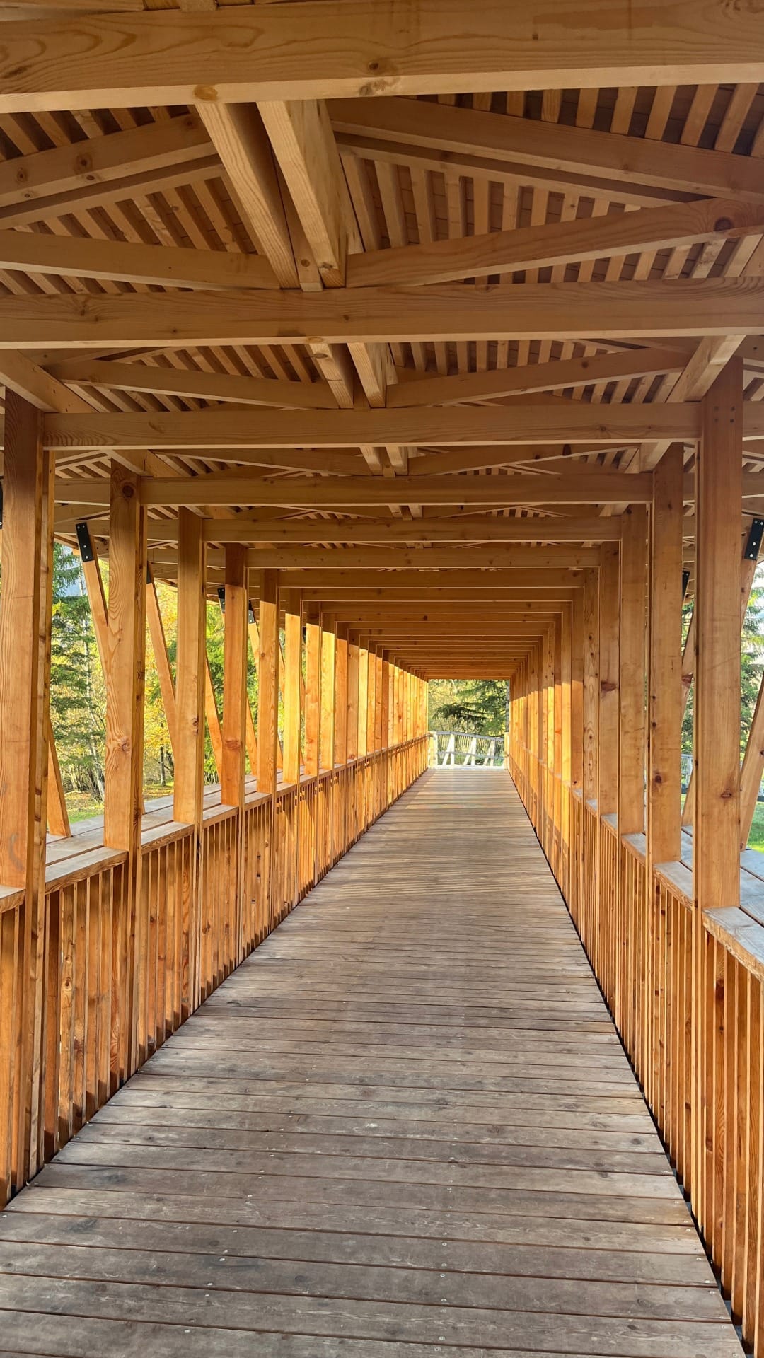
From there, the route settles into its longest stretch: roughly 18 km following the Sava Bohinjka through the valley toward Bohinjska Bistrica, largely flat to gently rolling, with the Julian Alps closing in on both sides. This is the section that runs closest to the old railway alignment, including new bridge crossings built specifically for the path.
4) Bohinjska Bistrica to Ribčev Laz
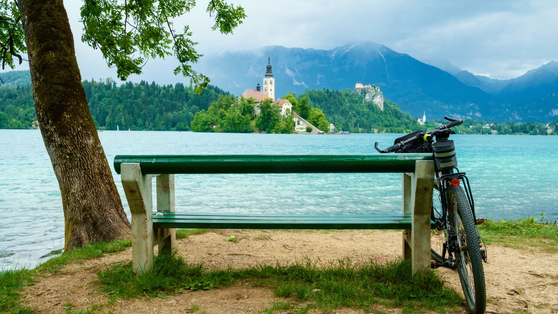
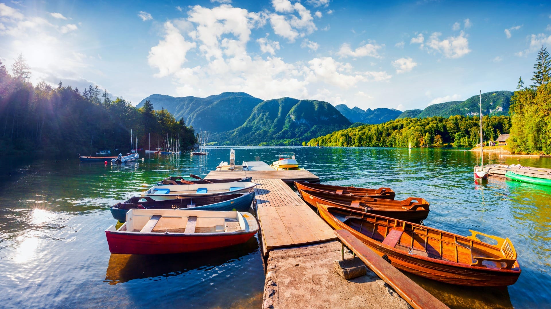
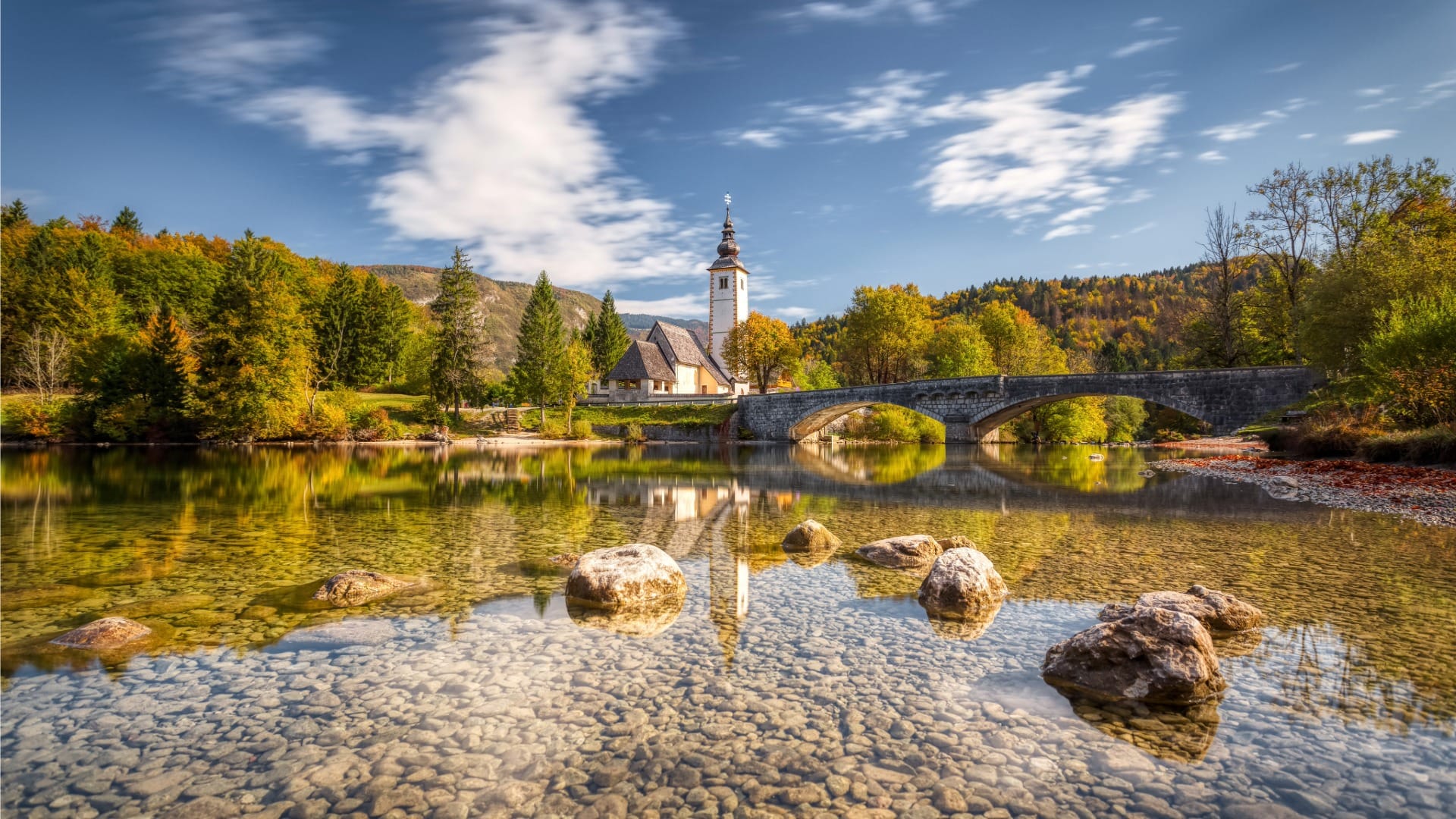
From Bohinjska Bistrica, the last stretch to the lake reuses an existing, well-established 7 km path via Brod to Ribčev Laz — the one part of this ride that was already mapped and ridden long before the new section opened. The trail ends at the stone bridge and church of St John the Baptist, right on the shore of Lake Bohinj.
Travel insurance
Standard policies often exclude hiking and mountain activities — worth checking your cover before a day like this.
Map
The map shows the full route from Villa Prešeren at Lake Bled, via Velika Zaka, Bohinjska Bela and Bohinjska Bistrica, to Ribčev Laz at Lake Bohinj. Ride it the other direction to return, or arrange a shuttle/train back to Bled.
Best time
When to ride it
- Morning starts: 32.5 km with real sun exposure in places is more comfortable started early, especially in July and August.
- Weekdays: a new, free, flat route between two of Slovenia’s best-known lakes will draw crowds on summer weekends — a weekday ride is a calmer one.
Safety & warnings
Before you set off
- Unmapped in routing apps: this path doesn’t yet appear in OpenStreetMap-based tools, including gpx.studio — don’t rely on your GPS app to route you automatically; follow the physical signage.
- Real distance: 32.5 km one-way is a genuine ride, not a short spin — carry water and a repair kit, and plan your return before you set out.
Logistics
By car
Both Bled and Bohinjska Bistrica/Ribčev Laz have public parking, so a common approach is to park at one end and ride to the other — the Bled–Bohinj rail line (see below) makes a one-way ride a practical option.
Public transport
The local railway between Bled Jezero and Bohinjska Bistrica runs roughly parallel to this route and takes bikes — a realistic way to do the ride one-way and return by train rather than backtracking the same 32.5 km.
Renting a car for trail days
Many of the trails on our portal are realistically done by car: early starts, flexible returns and last-mile forest or valley access are hard to match with buses.
Search rental cars — Slovenia & Ljubljana Airport
Author note: if you’d rather not backtrack the full 32.5 km, a car at one end and the train back is the cleanest way to ride this one-way.
How this trail fits into routes
The Bled–Bohinj Cycling Trail is the obvious pick for anyone dividing a Slovenia trip between the two lakes who’d rather arrive under their own power than by car.
- Near Bled, on foot: the Vintgar Gorge Boardwalk Trail and Ojstrica & Osojnica viewpoints are both a short hop from the start at Villa Prešeren.
- Near Bohinj, on foot: from Ribčev Laz at the finish, the Savica Waterfall Trail, the Pokljuka Gorge Trail and the Mostnica Gorge and Voje Valley Trail all start within a short drive of the lake.
Conclusion
This is Slovenia’s newest cycling route, and it shows — both in the quality of the ride and in the rough edges of something that opened weeks, not years, ago. Don’t expect your GPS app to know the way yet, and treat the two lakes at either end as the reward for a long, worthwhile day in the saddle.